Dent de Nendaz

Location
Right bank of the Rhone above Haute-Nendaz.

Descriptif
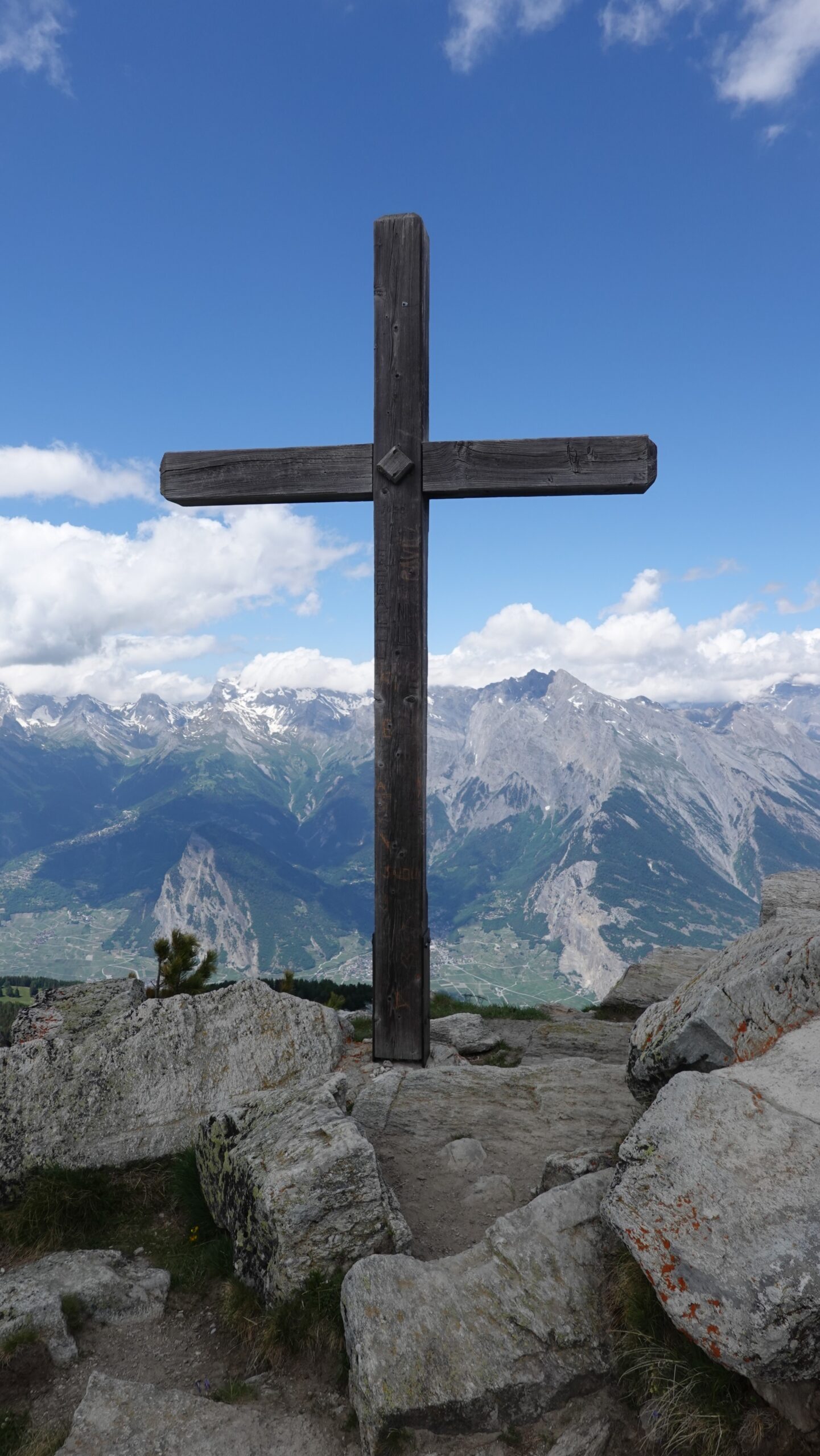
T3 alpine trail for mountain lovers. Easy terrain with a ridge sometimes equipped with steps to reach the summit of the Dent. Well-marked route without orientation problems. Panorama of the Rhone plain simply magnificent.

Total length
33 km-effort

Walking time
18.5 km

Elevation + et –
+/-1092 m
Altitude: between 1727 and 2462 m

National hiking map 1:25’000
Sion 1306

Best period
July to October

Difficulty
T3
Useful information
Itinerary
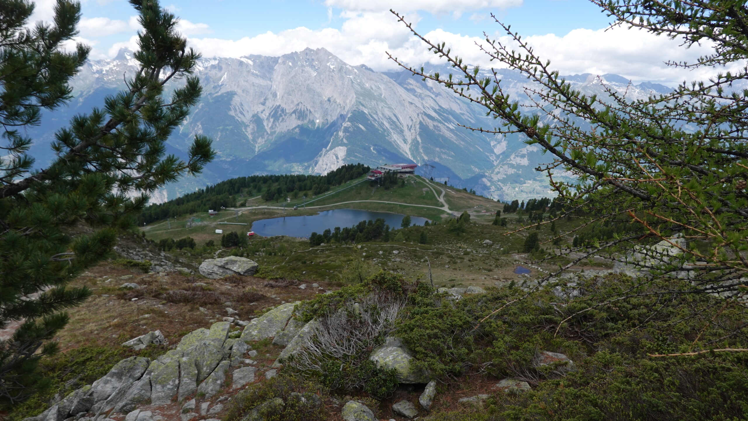
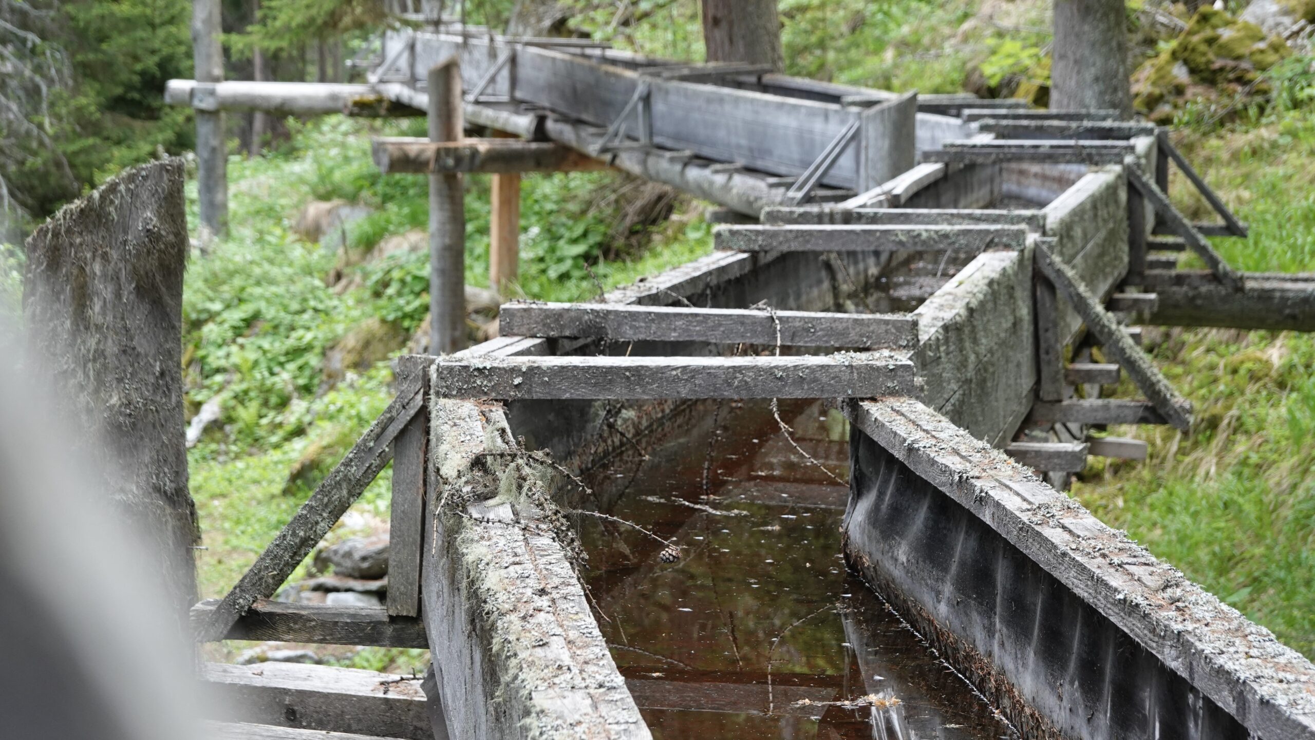
Join the village of Siviez and starting point (2,590,551/1,109,629/1728 m) by the cantonal road from Haute-Nendaz. Reach the bisse de Saxon at an altitude of 1,800 m and continue to Dzeudet, the starting point of the climb towards the Siviez mountain pasture and then towards the Grand Alou. Le Basso, at point 2337, marks the start of the ridge that runs due north. The path is easy without being rolling. At the Dent de Nendaz the spectacle is magnificent. The descent takes the path that runs under the summit towards the west, across scree. The descent is sometimes steep until the lake of Tracouet (point 2171); enjoy the landscape. Then reach the Croix de Jean-Pierre by the ski slope, to continue always in a westerly direction towards Plan de Zerjona and finally Pra da Dzeu at point 1772 which is crossed by the Grand bisse de Saxon. Return in a north-east direction, along the flat, the bisse to Siviez for about 6.4 km. The little light stride on the way back and on the bisse remains quite exceptional!