Eggen, Egga

Localisation
Canton du Valais dans la partie alémanique en rive droite du Rhône au-dessus de Viège.

Descriptif
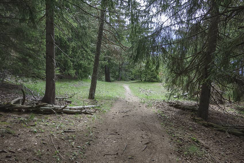
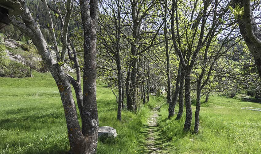
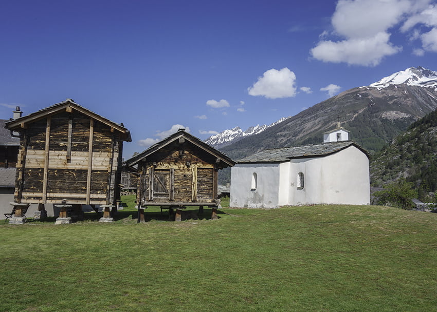
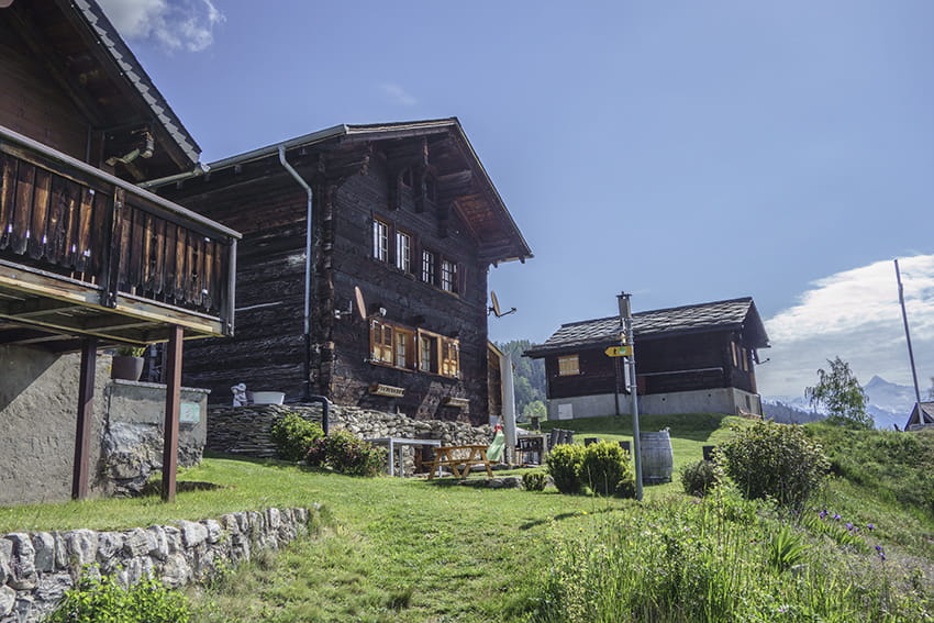
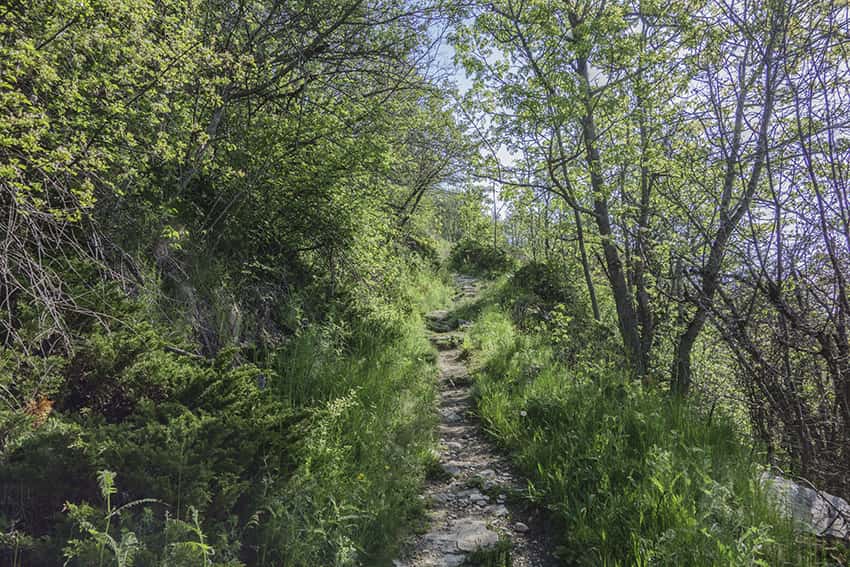
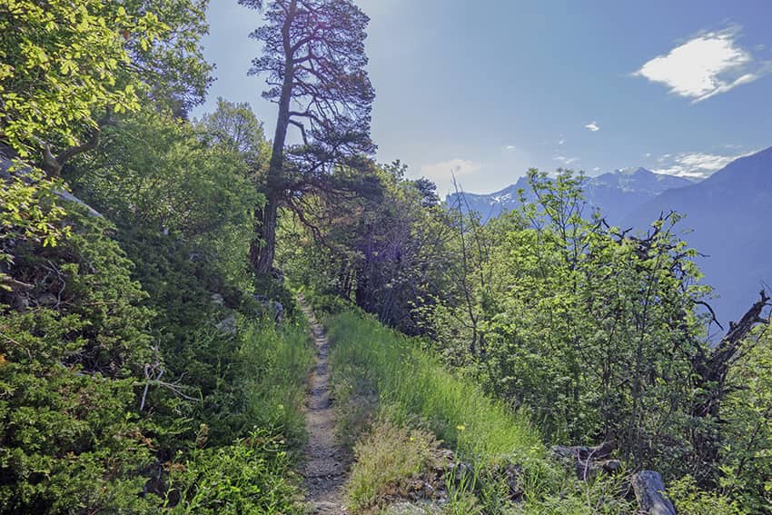
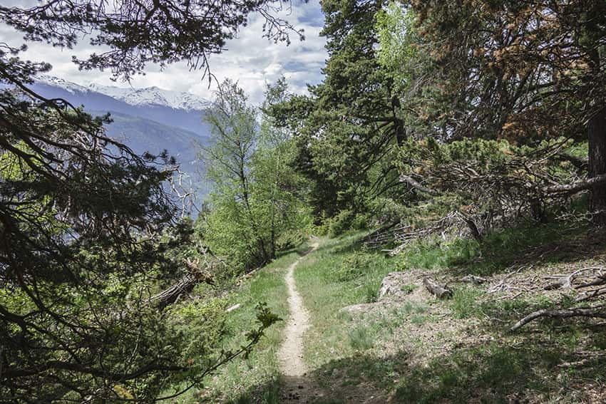
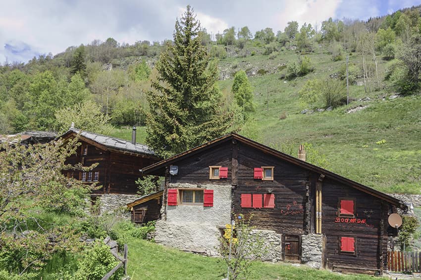
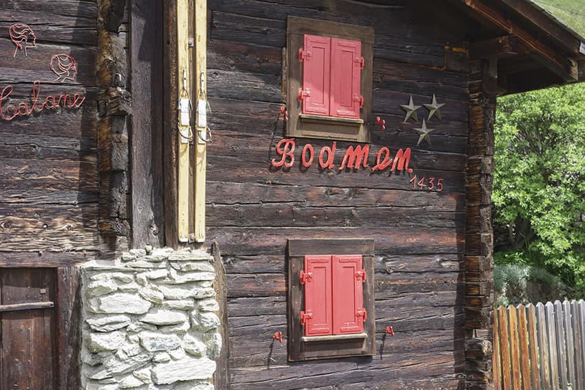
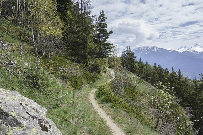
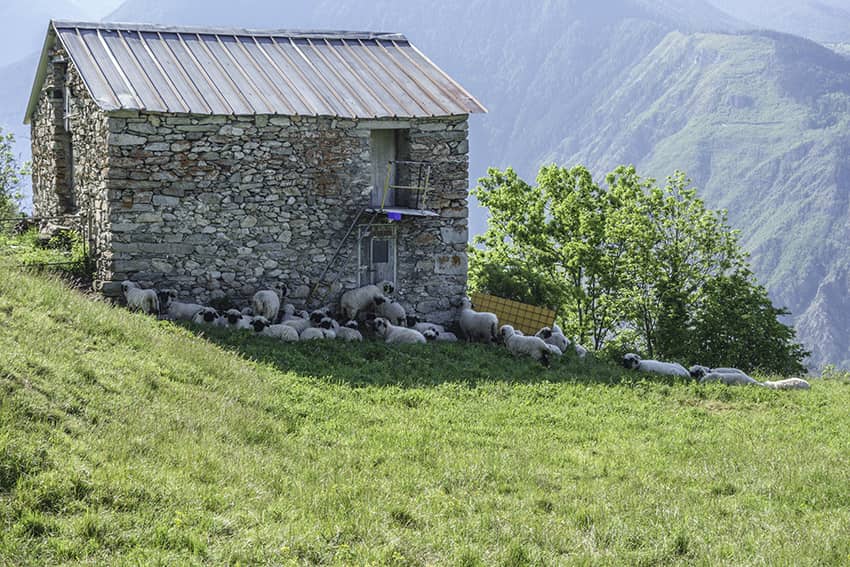
Randonnée facile à la découverte d’une magnifique région entre prairies verdoyantes, forêt de feuillus et de conifères et de hameau typique aux raccards centenaires brûlés par le soleil et très bien préservés.

Longueur totale
Environ 10km

Temps de parcours
Environ 4h

Dénivelé + et –
+/- 645 mètres
Altitude : entre 1’048 et 1’575 mètres

Carte nationale d’excursion 1:50’000
274 Vips

Meilleure période
De fin avril à novembre

Cotation
T2
Informations pratiques
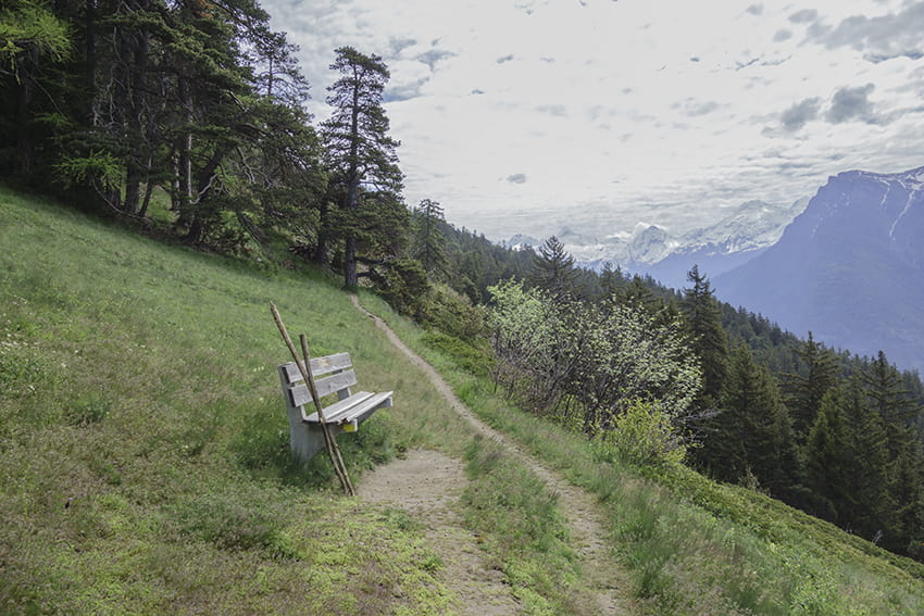
Très belle randonnée, praticable très tôt dans la saison car très exposée à l’ensoleillement. Magnifique vue sur le massif des Mischabels. En été, il peut faire très chaud tout au long du parcours. Il y a régulièrement des bancs le long du parcours pour organiser un pic-nic.
Itinéraire
L’itinéraire débute à Eggen au parking après l’épingle de la route principale à la sortie du village ou bien depuis l’arrêt postal « Eggerberg, Eggen ». Suivre en montée les indications du chemin de randonnée qui traverse quelques maisons et rejoint la route d’Eggen. Suivre cette route en montant sur quelques mètres et bifurquer à gauche à l’amont de la route en direction de « Finnu ». Montée assez sèche sur environ 400 mètres pour rejoindre une bifurcation à la hauteur du bisse de Görperi. Se diriger à l’est en direction de Howang en empruntant le chemin à l’aval du bisse. Après 600 mètres en légère descente, l’itinéraire rejoint la route de Eggen à suivre en montée sur 200 mètres pour rejoindre la bifurcation à l’aval de la route en direction de Howang et Oberi Brich. Continuer en direction de Bobma. Traverser le hameau de Bobma en direction de Egga en suivant une route agricole (direction est). A la fin de la route agricole bifurquer à gauche en empruntant un chemin à l’amont de la route en direction du lieu-dit « Blaasi ». De là, Bifurquer à gauche (ouest) en direction du point d’altitude 1485 (Flüokapalli). Continuer en direction de Meinumatta (point d’altitude 1571) et continuer en direction de Finnen (Finnu) en suivant les points d’altitudes 1569, 1581, 1472. Traverser le magnifique hameau de Finnen en direction de Eggen par un chemin en descente qui traverse deux fois la route carrossable et rejoint la bifurcation à la hauteur du bisse de Görperi. Continuer à descendre en direction de Eggen et du point de départ.