Flüekapelle / Dala

Location
Upper Valais left bank, Turtmanntal

Descriptif
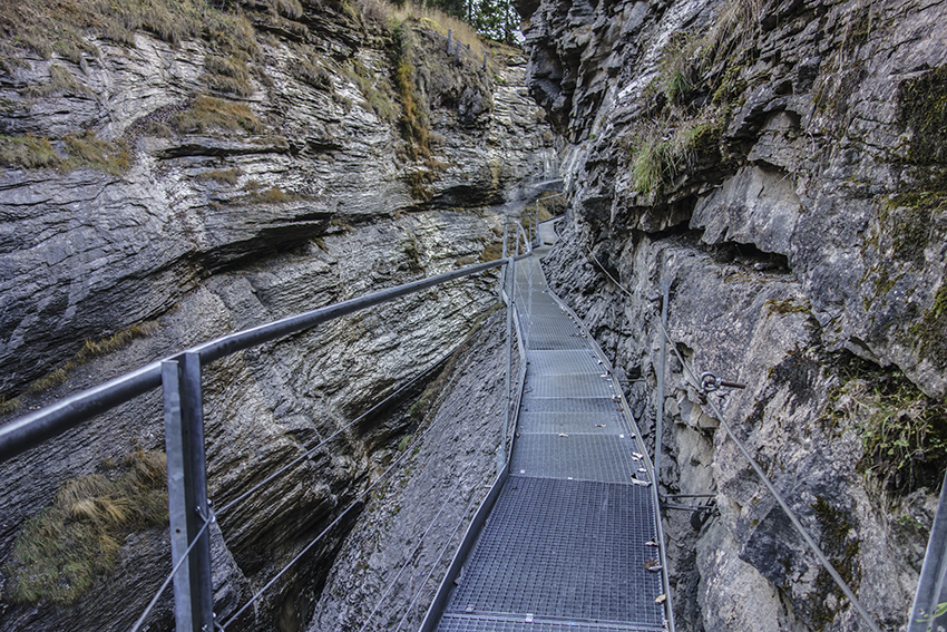
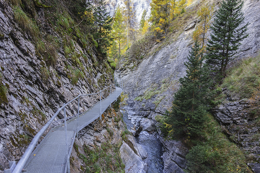
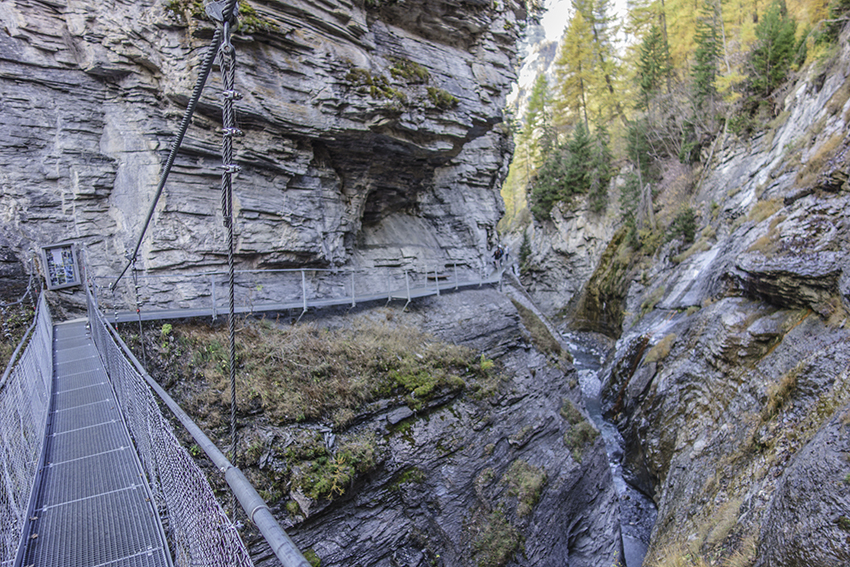
easy hike that winds through the cool Dala River Gorge

Total length
easy variant about 5 km, variant 2 about 7 km

Walking time
easy variant approx. 2 hours, variant 2 about 3 hours

Elevation + et –
easy variant +/- 330 meters, variant 2: +/-535 meters
Altitude: between 1454 and 1769 meters or 1938 meters

National hiking map 1:50’000
263 T Wildstrubel

Best period
from the end of April to the end of October

Difficulty
T2
Useful information
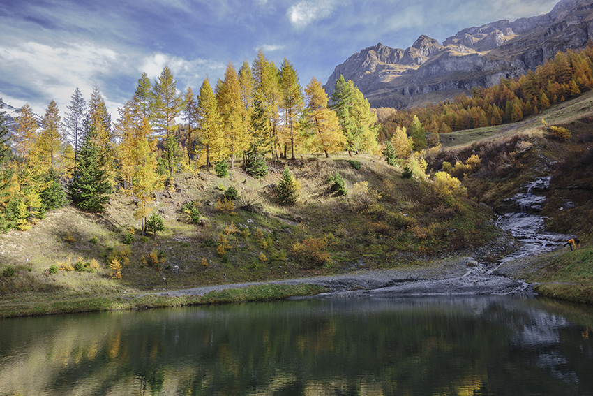
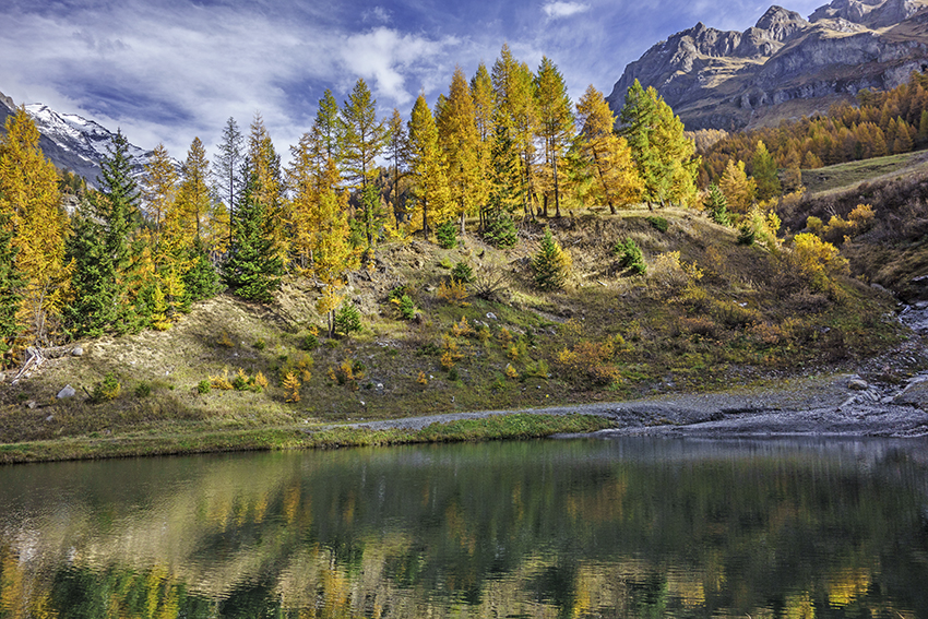
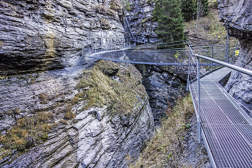
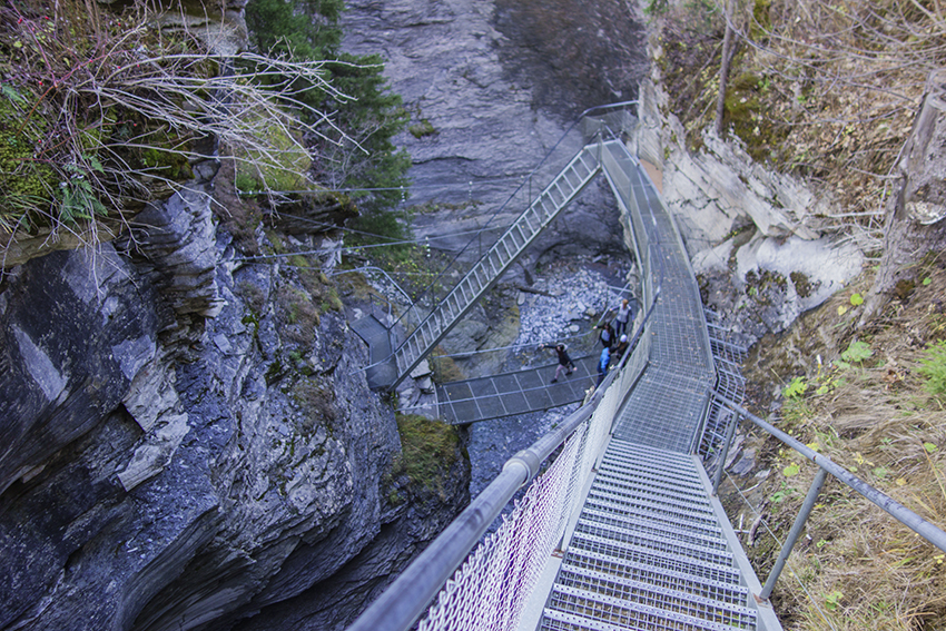
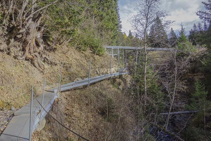
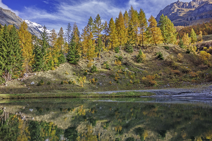
Very busy route. Access to footbridges, ladders and suspension bridge is closed in bad weather and during frost or winter. The Majingsee lake is ideal for organizing a picnic, there is also an installation for grilling over a wood fire.
Itinerary
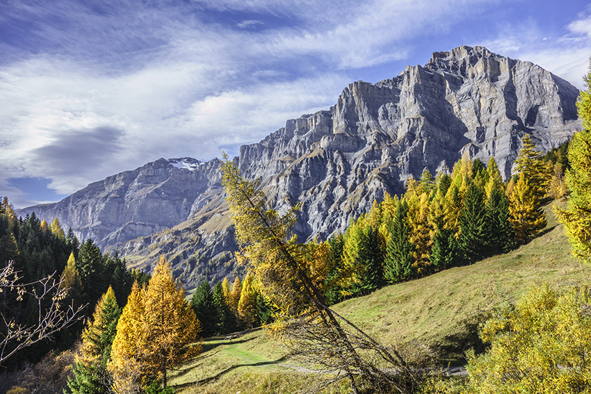
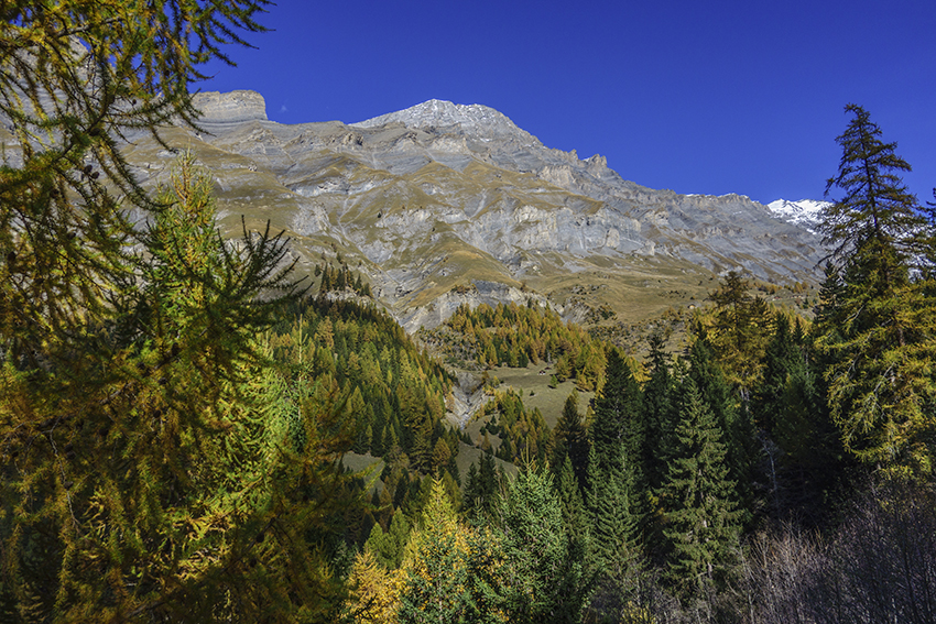
After passing through the village of Leukerbad in an easterly direction there is a parking lot at a place called “Heilbad” (Obere Maressenstrasse 59). From there, follow Flüekapelle first by a road and then along the left bank of the river. Very quickly, the route overhangs the river following footbridges above the gorges. After leaving the sector of footbridges, suspension bridge and ladders, the route still continues in a steep northeast direction overlooking the river to altitude point 1652. After crossing the river, climb towards the Majingsee. A few meters before the lake, the route branches off to the left towards Flüekapelle (altitude point 1769). You can continue with two route variants. Either we continue to climb towards the Alphütte Obere MejingAlp and descend to Leukerbad towards altitude point 1773, then altitude point 1591 and Heilbad which is the starting point. Or, at junction 1769, you start flat directly in the direction of point 1591 and Heilbad to reach the starting point.