Galihorn

Localisation
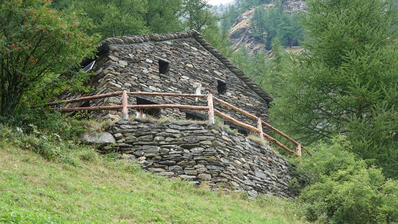
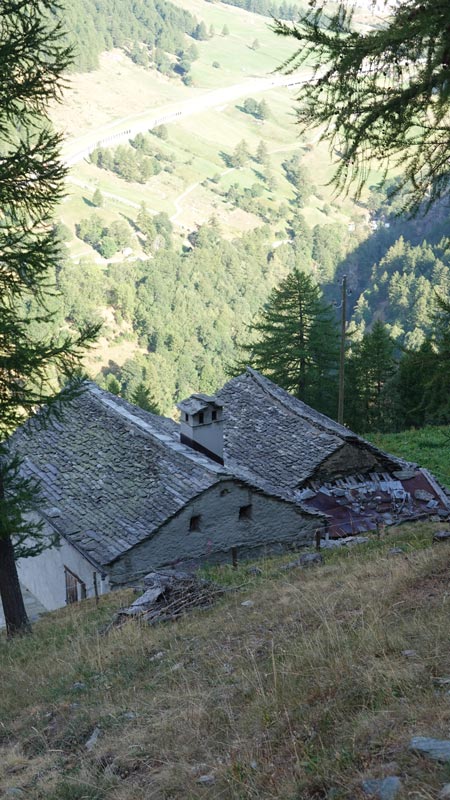
Rive gauche du Rhône, dans le Haut-Valais, sur la route du Simplon, au-dessus de Gabi.

Descriptif
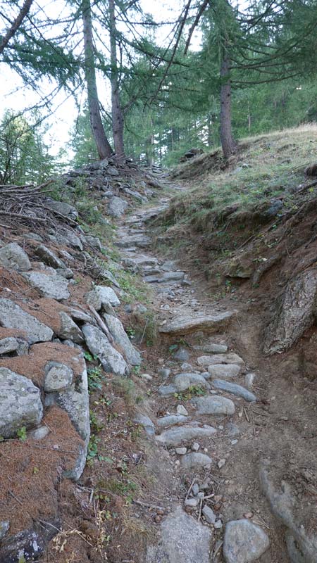
Trail moyen de montagne mais nécessitant un matériel indispensable comme une trousse de secours, des moyens de communication et d’orientation : le dépaysement est total.

Longueur totale
17,3 km

Temps de parcours
39 km-effort

Dénivelé + et –
Dénivelé: 1623 m
Altitude : entre 2512 et 1240 mètres

Carte nationale d’excursion 1:50’000
1309 Simplon

Meilleure période
De juillet à septembre

Cotation
XS
Informations pratiques
Altimètre nécessaire pour valider votre position sur certains tronçons qui n’existent pas.
Itinéraire
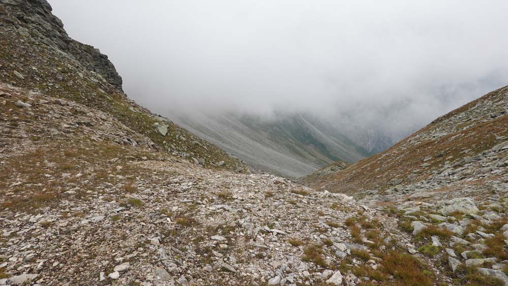
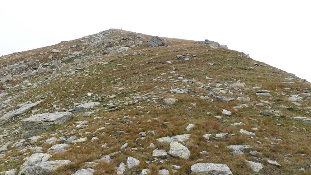
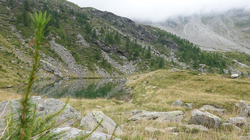
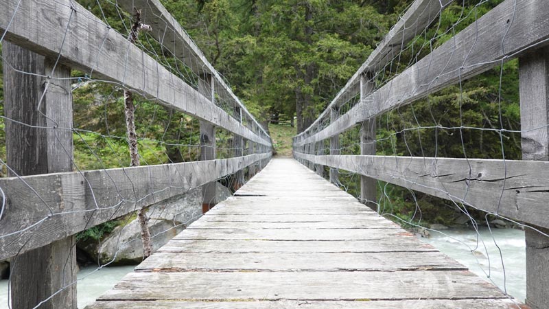
Le départ peut se faire de Gabi mais je vous propose de le faire sous le pont au point Stitzjini (2’648’951/1’114’230/1270 m). Descendre en direction de Gabi en longeant le torrent Laggina jusqu’au pont de Gsteihuis et emprunter le chemin pavé et abrupt qui mène sans aucune difficulté jusqu’à Furggu. C’est une portion du Gondo Marathon. Depuis Furggu, rejoindre la croix qui domine le col à l’ouest et viser de cette position le pylône de haute tension en direction du sud-ouest. Suivre cette direction sur 500 m et rejoindre le chemin marqué blanc-rouge-blanc. Ce tronçon est pâturé et le chemin inexistant, piétiné par le bétail à travers les Rhododendrons et les myrtilliers. Le chemin étroit et raide ne permet pas une course rapide : attention à certains passages si le sol est humide. Continuer sans risque d’erreur d’abord sous le Tschuggmatthorn et gagner les ruines d’alpage le long du chemin sous le Guggilisgrat. Puis rejoindre le vallon de Brichtola jusqu’au point 2112 du l’arrête du Galu. Continuer en descendant sur le petit lac d’Alpa et s’engager plein sud dès les premiers éboulis de lave torrentielle. Rester sur votre gauche en remontant ces éboulis ce qui permet de voir le chemin quelque peu effacé. Dès le point 2103, le chemin est à nouveau bien praticable et vous mène jusqu’au point 2295, point de décision pour la suite de la course et pour le sommet envisagé. Pour le Galihorn, suivre une sente peu marquée et pour le Galgilicka, continuer en direction du col à 2510 m. C’est la solution que j’ai retenue, le brouillard du jour m’interdisant toute visibilité.
La descente se fait par le même chemin que la montée jusqu’au lac d’Alpa. Il se dirige ensuite sur Obre Staful au pt 1942 puis au travers de la forêt de Pästuwald jusqu’à la rivière Laggina du fond de la vallée. Le retour sur une route de terre battue vous amène en suivant les panneaux de randonnée jaunes jusqu’à votre point de départ.