Alpage du Pointet

Location
Mayens de My (Conthey), right bank of the Rhone.

Descriptif
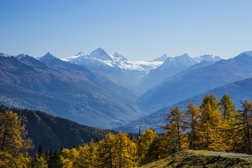
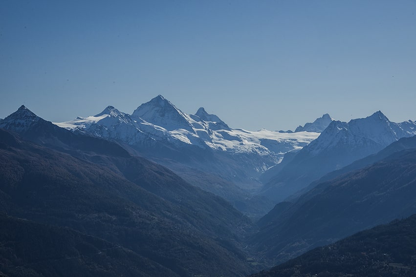
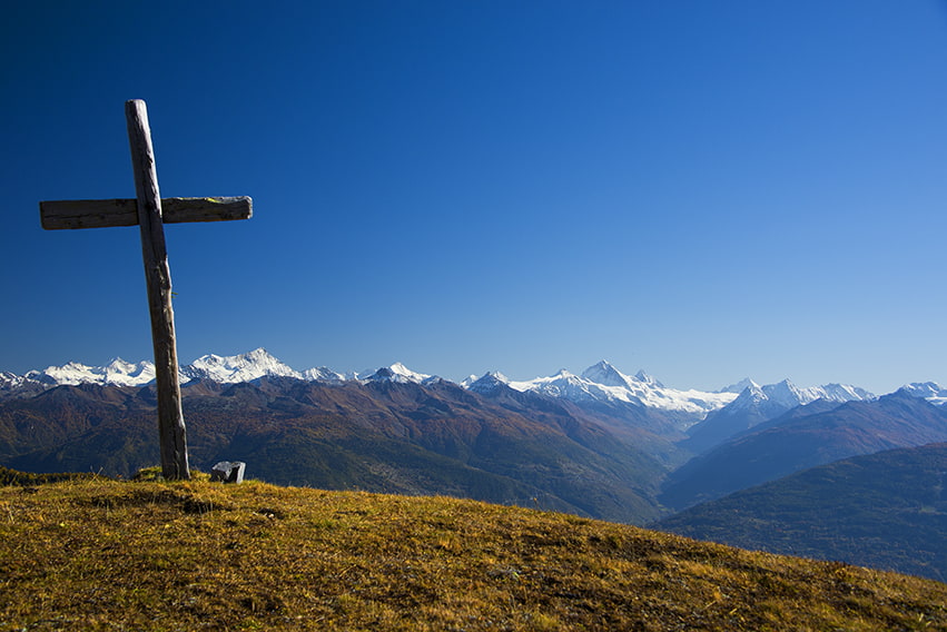
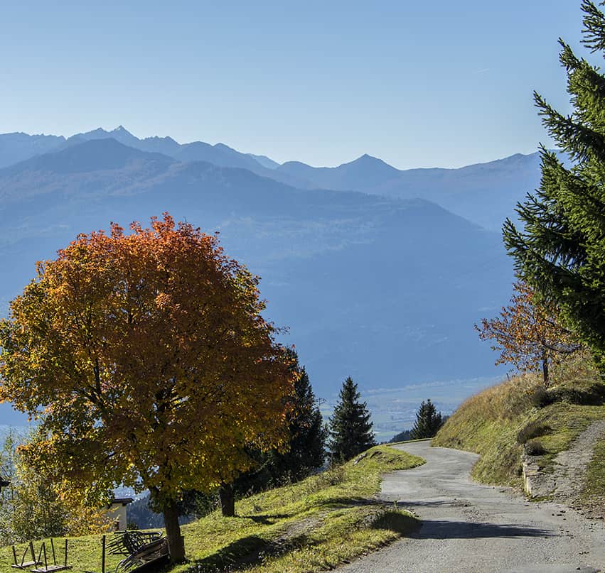
not very easy hike, with a magnificent panorama of the Valais Alps.

Total length
about 13 km

Walking time
about 5 to 6 hours

Elevation + et –
+/-930 meters
Altitude: between 1’400 and 2’100 meters

National hiking map 1:50’000
273 T Montana

Best period
all year. In summer on foot, in winter snowshoes or ski touring

Difficulty
T3
Useful information
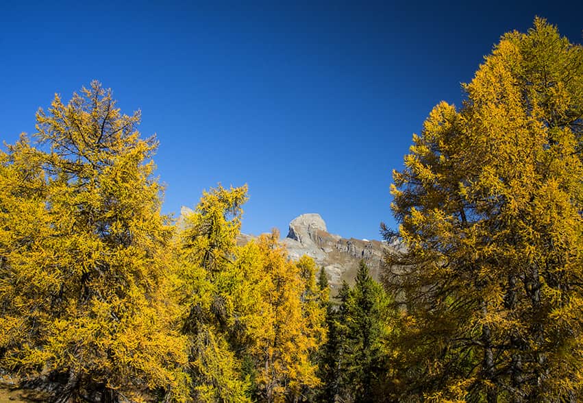
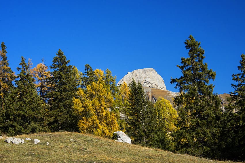
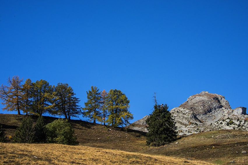
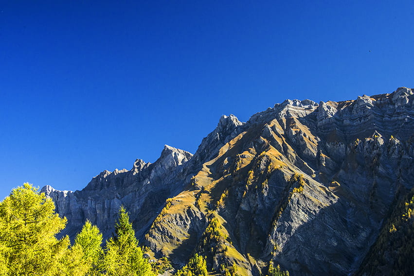
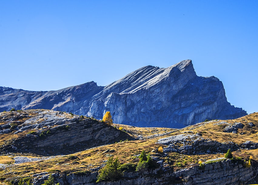
Very nice, fairly uncrowded hike. Magnificent panorama of the Valais Alps (Weisshorn, Dent Blanche, Matterhorn, Dent d’Hérens). Sporadic lack of route indication. Many places for the picnic.
Itinerary
From Conthey take the direction of Sanetsch following the road to Plan-Cernet. About 600 meters after Plan – Cernet there is a parking lot at the side of the road. The route begins in front of this car park following an uphill road in front of the car park (direction South-West). Follow the route to the “Esserts” (first a road, then a path). During this climb, the route crosses that of the Petit Bisse and Plan – Cernet). From “Les Esserts”, follow the red and white hiking trail signs. The path crosses a road several times. Entering the “Plapon” forest (altitude point 1657), follow the road for about 50 meters (West) and turn right (uphill) on a paved road between two stone pillars (there is no indication, direction North), climb about fifty meters to take a path upstream of the road (there is no indication) and cross the forest of “Paplon” and follow to the point of altitude 1945. From there, follow in the direction of “Plan des Larzes” (altitude point 1905, From altitude point 1905, after following the road for 500 meters, leave the road upstream to reach the pass located between “le Pointet” and the altitude point 2118 (Le Torgneu) zigzagging in the pastures (there is no indication and not really a path). From the pass, cross a very short area of Lapiaz towards the North and follow the ridge to the altitude point 2’118.
For the return, go down towards the mountain chalet (North-West) to join the alp road that goes down towards the Chottes (alpine stables) at the point of altitude 1946. From there, head for the west by a path that joins a road that returns to altitude point 1843. Go down and cross the forest of “Paplon” by the same route as the climb to the point of altitude 1540 (Les Esserts). Go west (portions of roads and paths) to the point of altitude 1404. Then head northeast to the altitude point 1437 and join the Petit Bisse route and the starting point.