L’Ardève

Ort
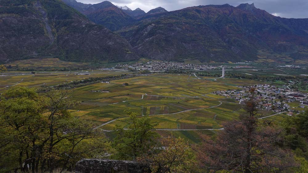
Rechtes Rhoneufer oberhalb Leytron.

Beschreibung
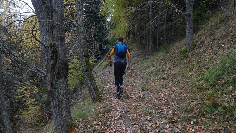
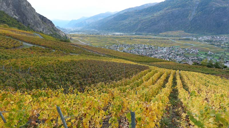
technisch mittelschwerer Weg mit einem luftigen Stück auf dem Gipfelgrat, für Menschen mit Höhenangst nicht zu empfehlen. Der Gipfel kann umgangen werden, indem man durch die Mayens de Chamoson geht. Bei der Route handelt es sich um einen Bergpfad der Stufe T3, der von der Ebene bis zum Gipfel der Ardève durch eine geologische Umgebung von großem Interesse führt. Einfache Orientierung und gut markierte Wege, jedoch bei zu hoher Luftfeuchtigkeit teilweise gefährlich. Die Route führt abwechselnd durch Laub- und Nadelbäume auf einem Weg mit Blick auf die Ebene und ihre Weinreben. Der Gipfel bleibt ein langer und buschiger Grat, der mit Lärchen und Wacholder bewachsen ist. Einzigartig und ein richtig buntes Fest im Herbst.

Gesamtlänge
31 km-Aufwand

Wanderzeit
16,07 km

Höhenunterschied + et –
+/- 1133 m
Höhe: zwischen 533 und 1487 m

National Wanderkarte 1:50’000
Ovronnaz 1305

Beste Periode
Juni bis Oktober

Schwierigkeitsgrad
T3
Praktische Informationen
Stöcke sind im ersten Teil des Weges nützlich. Die Orientierung ist kein Problem, die Wege sind gut gelb markiert, dennoch ist auf dieser Art von Strecken immer eine Karte ein Garant für die Sicherheit.
Strecke
Benutzen Sie den Strassenrand in den Weinbergen westlich von Chamoson (2‘583‘125 / 1‘116‘157 / 598 m) und folgen Sie dem Wegweiser Richtung Ardève. Der Weg gewinnt schnell an Höhe bis nach Clèves, La Planche und den Mayens de l’Ardève. Die Bodenmarkierungen sind veraltet und teilweise an den Bäumen festgeklebt. Der Anstieg lässt bis zur Schotterstraße am Punkt 983 kaum Ruhe zu. Folgen Sie auf derselben Straße weiter den Schildern Richtung Ardève, was ein schnelleres Renntempo ermöglicht. Der Abschnitt unterhalb des Gipfels endet mit einem Pfad, der Wanderer darauf hinweist, dass es sich um einen Luftabschnitt handelt und dieser für Menschen mit Höhenangst nicht geeignet ist. Der Ausblick vom Gipfel über die Rhoneebene ist eindrücklich. Der Grat führt weiter in nordwestlicher Richtung zum Pointe de la Lacha.
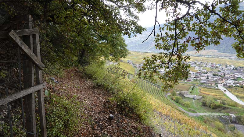
Der Abstieg über die Nordwand ist mit Wurzeln übersät; Der Weg ist steil und erfordert ständige Aufmerksamkeit. Eine heikle Passage über 15 bis 20 Meter erfordert die Nutzung des Handlaufs, der die Passage auf instabilem Untergrund erleichtert. Beim Ort Les Dzardis führt die Route genau nach Süden, unterhalb des Bahnhofs Ovronnaz, entlang des Torrent de Valeresse und durchquert die Weiden der Region. Der Boden ist nass und matschig und voller Wurzeln. Die Anweisungen für Montagnon und dann Produit sind klar. Von diesen Dörfern aus ist die Straße asphaltiert und schlängelt sich durch Villen und Weinberge. Auf einer Höhe von 605 m, unterhalb des Dorfes Produit, biegen Sie nach Nordosten auf die Kantonsstrasse auf einer Höhe von 574 m ab und folgen der Strasse für 100 m, bevor Sie auf den Weg stossen, der oberhalb der Weinberge von Leytron nach La Barme führt. Der Rest ist bis zu Ihrem Ausgangspunkt ausgeschildert.