L’Ertense / bisse du Rho

Location
Crans- Montana, Ertense valley

Descriptif
nice hike with some very dizzying passages

Total length
about 13 km

Walking time
about 4 hours

Elevation + et –
+270 meters -1’020 meters
Altitude: between 1’500 and 2’25’ meters

National hiking map 1:50’000
273 Montana

Best period
from june to oktober

Difficulty
T3 with some T4 parts
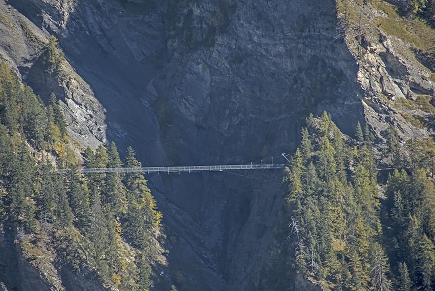
Bridge length and height: 120 and 70 meters
Useful information
Very nice loop. very little frequented route Until the start of the Bisse du Rho. Unlike the route along the bisse since the construction of the new and spectacular footbridge. Possibility to buy tommes and alp cheese from alpine dairies, to enjoy while having a picnic. This route can be done in both directions for fans of the difference in altitude, in this case counting an additional one to two hours of walking.
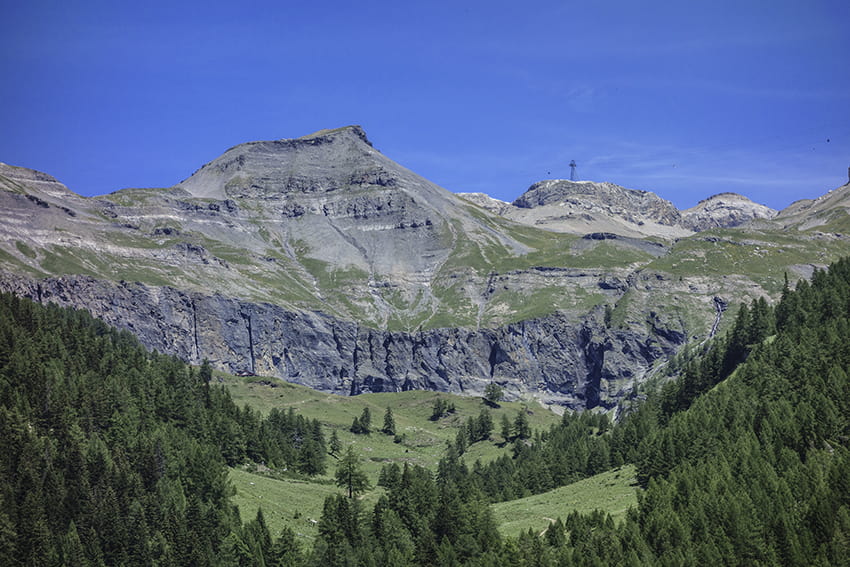
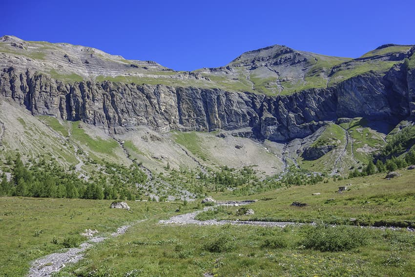
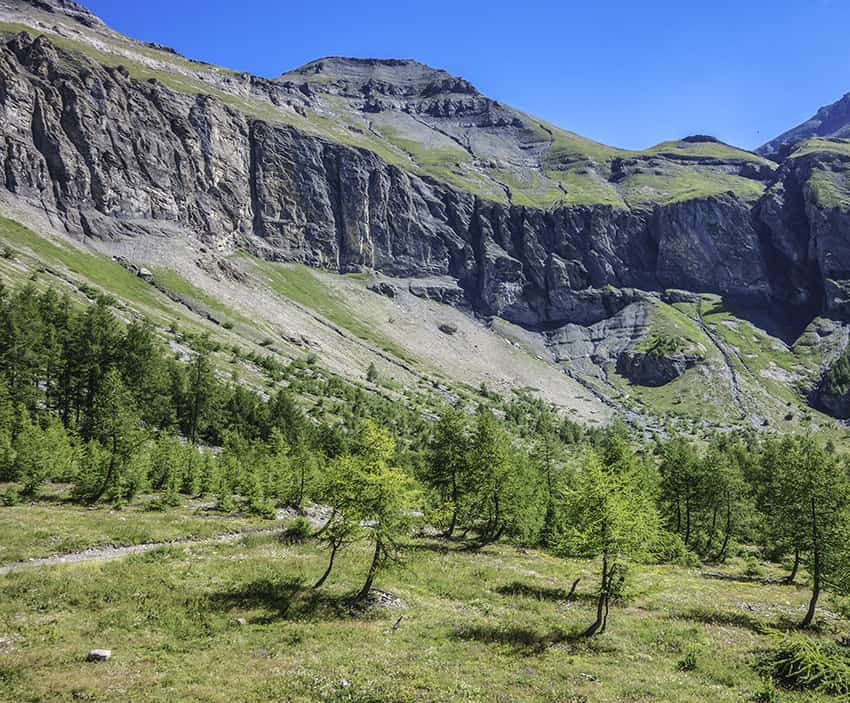
Itinerary
From the arrival station of the Cry d´Er gondola, head north and follow the signs to Chetzeron and Er de Chermignon. After crossing alpine meadows for 500 meters, the route descends towards Er de Chermignon, crossing vertiginous rock walls (several T4 passages equipped with fixed handrails). After an hour of steep descent, the route reaches the edge of the L’Ertense river. Cross the river and head north first and then southwest, up towards the Mondralèche mountain pasture. At the end of the climb, it’s worth reaching the summit marked with a cross to admire the panorama (5 minutes ascent). Go back down towards the Mondralèche mountain pasture and follow the Er de Chermignon, bisse du Rho, to reach and take the spectacular footbridge. Thereafter, always follow Bisse du Rho to the starting point at Cry d’Er.