Ochsehorn

Location
Visperterminen above Visp, left bank of the Rhone

Descriptif
very difficult hike, beautiful ridge race

Total length
about 16 km

Walking time
about 7 hours

Elevation + et –
+/-1000 meters

National hiking map 1:50’000
274 Visp

Best period
June to October (depending on the snow cover)

Difficulty
T3 with several passages T4, signaling blue – white
Useful information
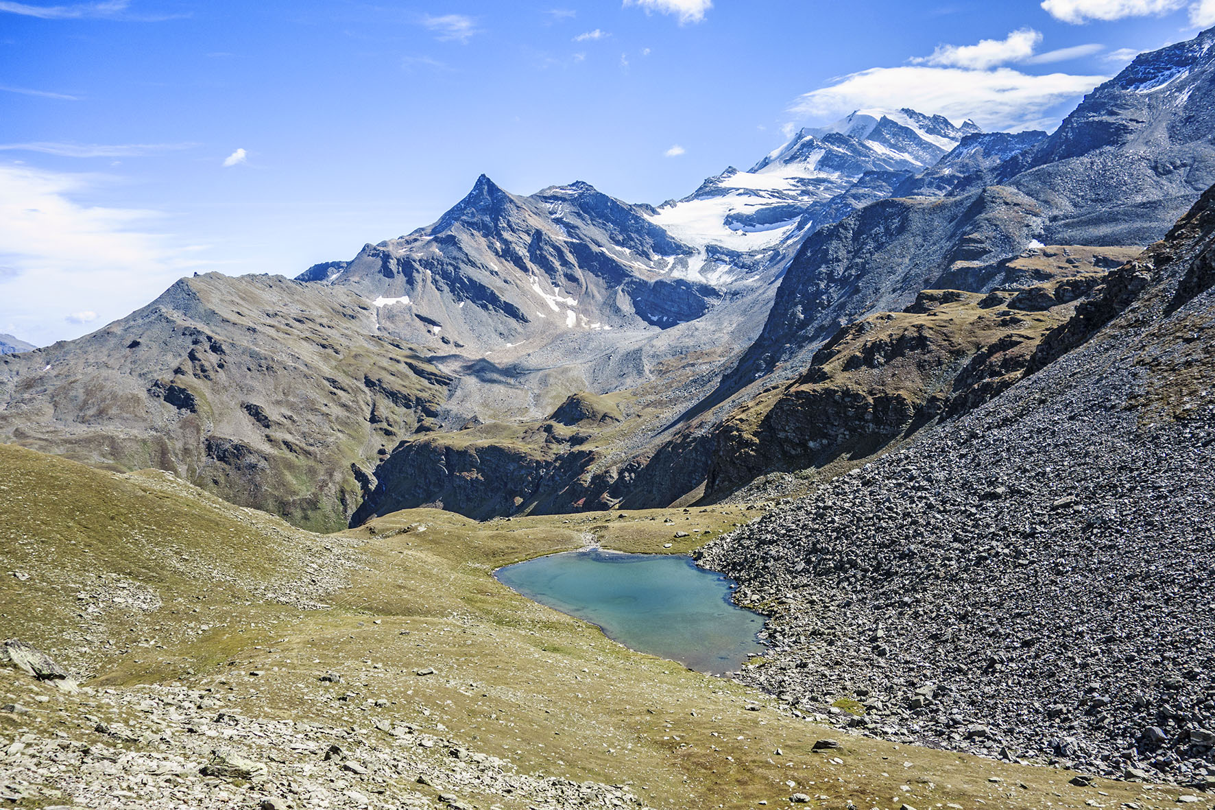
Beautiful ridge hike with beautiful views of the Mischabel massif and the peaks between the Anniviers valley and the Vispertal. Pay attention to the chairlift schedules.
Itinerary
From the top of the Giw chairlift follow the signs “Ochsehorn”. After about 30 minutes walk you join a fork after a cottage. To follow the ridge by the Rothorn, do not follow Ochsehorn but the indication “rundwanderung” (blue sign also). From this sign, walk for 1 km towards the east to reach the east foothills of the Rothorn. The path of climb is at the first crossing upstream of the path you follow. It is a path with two very distinct traces of vehicles. You reach the summit of the ski lift and the summit of the Rothorn. Continue full west. At first the route is not very clearly marked. Afterwards the route is very well indicated to the top of the Ochsehorn. On the last foothills there are several difficult passages equipped with fixed ropes. For the return, go down towards Blausee by the West and then follow Giw, Visperterminen by the bisse of the pagan (Heido).