Pic Chaussy

Location
Vaud Alps, Col des Mosses, Lioson d’En Bas

Descriptif
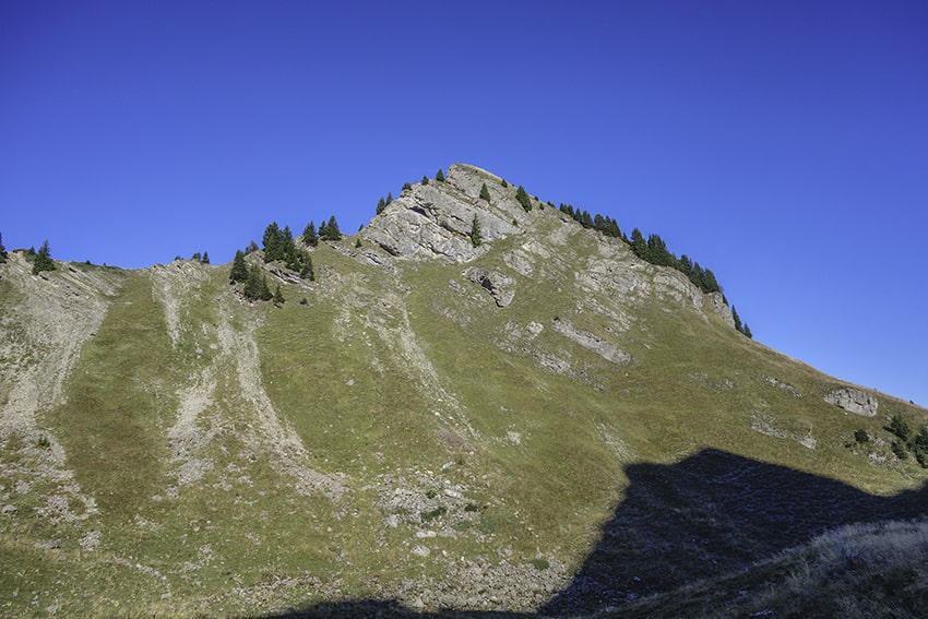
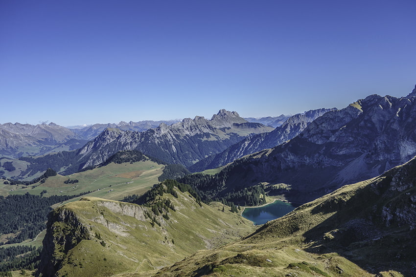
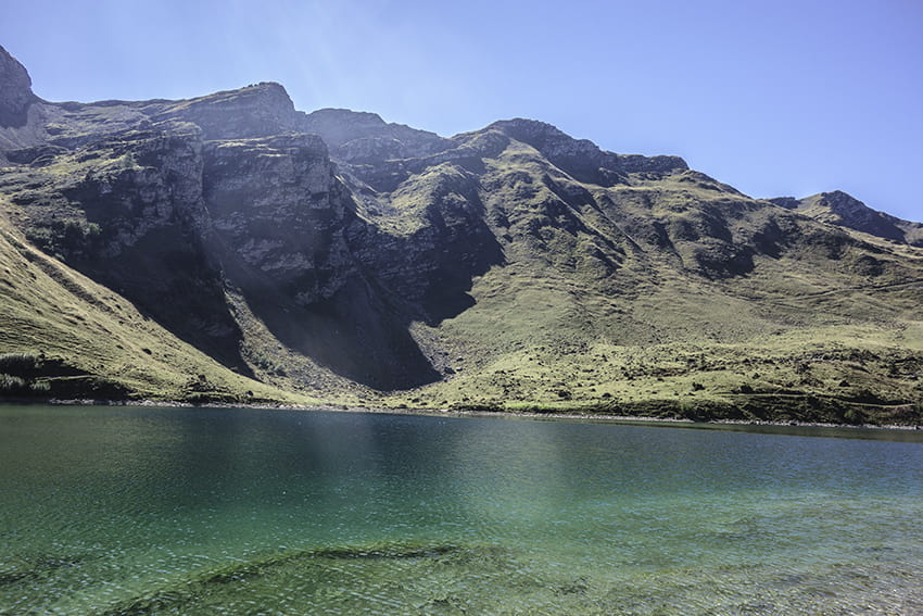
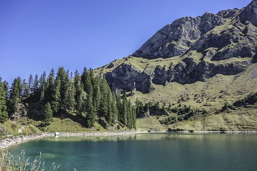
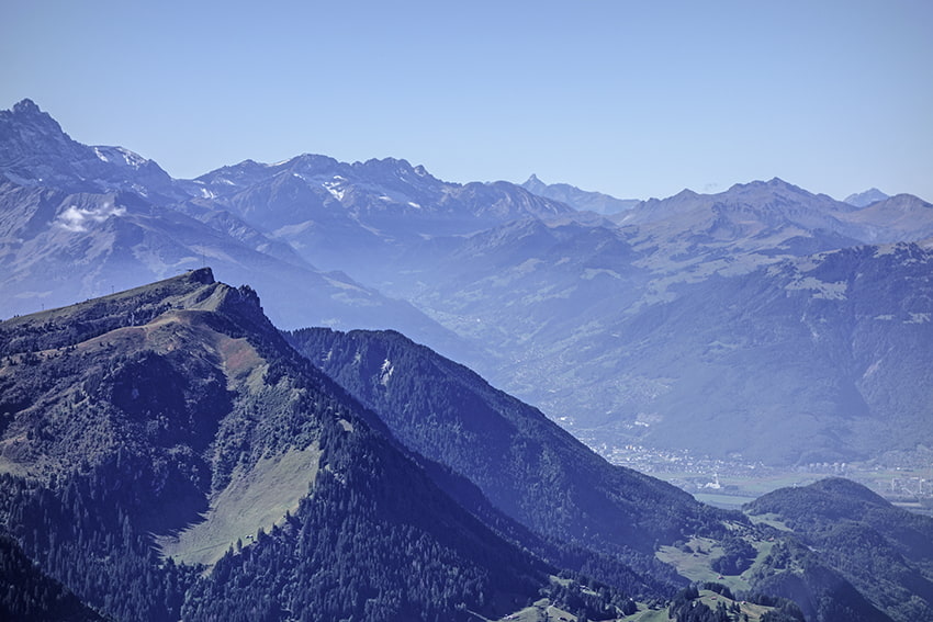
not very difficult hike with the discovery of a magnificent mountain lake and a 360° panorama from the summit of Pic Chaussy

Total length
about 7 km

Walking time
about 4 hours

Elevation + et –
+/- 730 meters
Altitude: between1626 and 2351 meters

National hiking map 1:50’000
262 Rochers de Naye

Best period
from the end of April to the end of October

Difficulty
T3
Useful information
In summer and on weekends, plan to arrive very early to be able to park easily at the start of the hike. Lake Lioson is a very popular vacation spot. The panorama from the summit of Pic Chaussy is spectacular.
Itinerary
Departure
From Les Mosses before the Col des Mosses, follow Lioson d’En Bas, Lac Lioson. Follow this road for about 2 km and park the vehicle at the traffic ban.
Itinerary
From the car park follow Pic Chaussy taking the direction “Vers Les Lacs”. After the refreshment bar, continue towards the bottom of the valley following the signs for Pic Chaussy. At altitude point 2079, climb towards Pic Chaussy. After admiring the panorama, go down to altitude point 2079 and head towards Lake Lioson crossing the place called La Chenau. To reach the starting point, follow the road below the Lac Lioson bar or go up slightly and go around the foothills of La Chenau to reach the “Vers Les Lacs” bar and from there go back down to the starting point.