Saxon Sentier des abricots

Location
Village of Saxon on the left bank of the Rhône plain

Descriptif
hike not too difficult to do in March when the apricot trees are in bloom

Total length
about 5 km

Walking time
about 2 hours

Elevation + et –
+/- 342 meters
Altitude: between 524 and 805 meters

National hiking map 1:50’000
272 St Maurice

Best period
in March when the apricot trees are in bloom

Difficulty
T3
Useful information
The majority of hikers do this hike in the other direction than this description. The route as described is easier, the climbs are less steep after Chemin de la Marée.
Itinerary
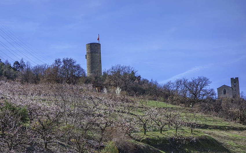
From the Saxon church car park, follow the main road towards Sapinhaut for 100 meters and turn left onto the Tovassière road. Continue uphill for approximately 150 meters and turn right to follow Chemin de la Marée. Follow uphill until the fork in the Chemin de Champassé which joins the Rte de Tovassière, continuing uphill until the sign “ô Fâya”. Follow this direction along the place called “la Combe Arrangée” for approximately 500 meters and 4 hairpin bends. At the height of a house on the right continue straight on following the Chemin de la Combe Arrangée through the apricot fields for approximately 1 km up to altitude point 777. Continue to climb, branching off to the left while crossing the apricot fields and follow until the forest which joins the Chemin de Bonatry to follow slightly uphill until the indication Champ Laurent. From this last point, the route goes down towards Saxon to the Torrent de Vella which we cross by a bridge and then we go up towards the Saxon Tower which we see throughout the hike and join Saxon.