Sentier des charbonniers

Location
Central Valais, on the left bank of the Rhone above Vernamiège, Nax and Mase

Descriptif
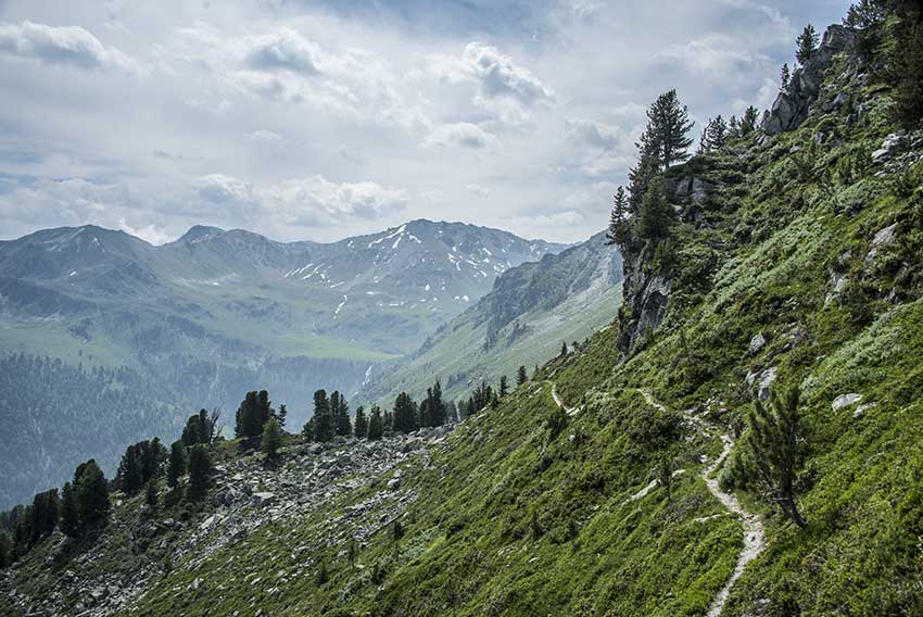
a difficult hike around Mount Noble. Mountain hike requiring a secure foot. There are some passages, which without being dizzying, can cause problems for people who are dizzying.

Total length
about 12 km

Walking time
4 to 5 hours

Elevation + et –
+/-820 meters

National hiking map 1:50’000
Montana 273

Best period
May to October

Difficulty
T3
Useful information
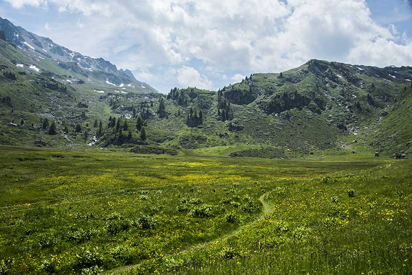
Along the route there are many places that allow the organisation of a picnic.
Itinerary
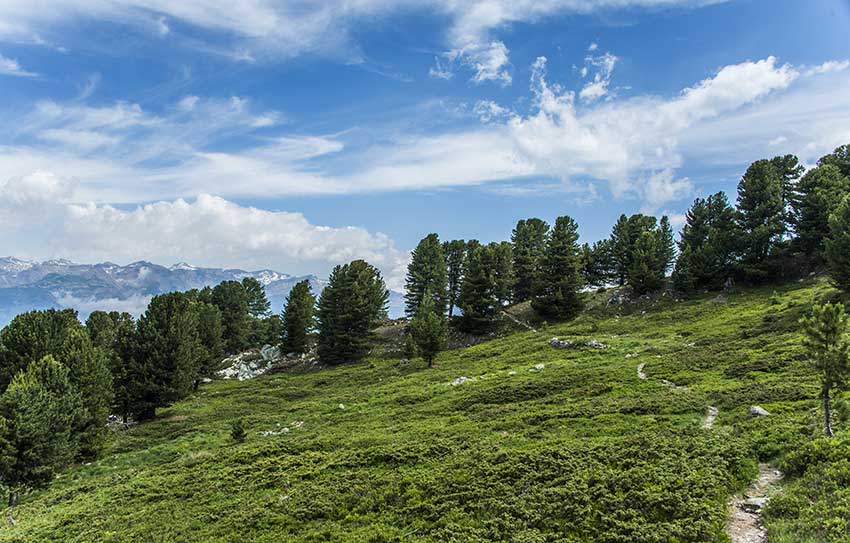
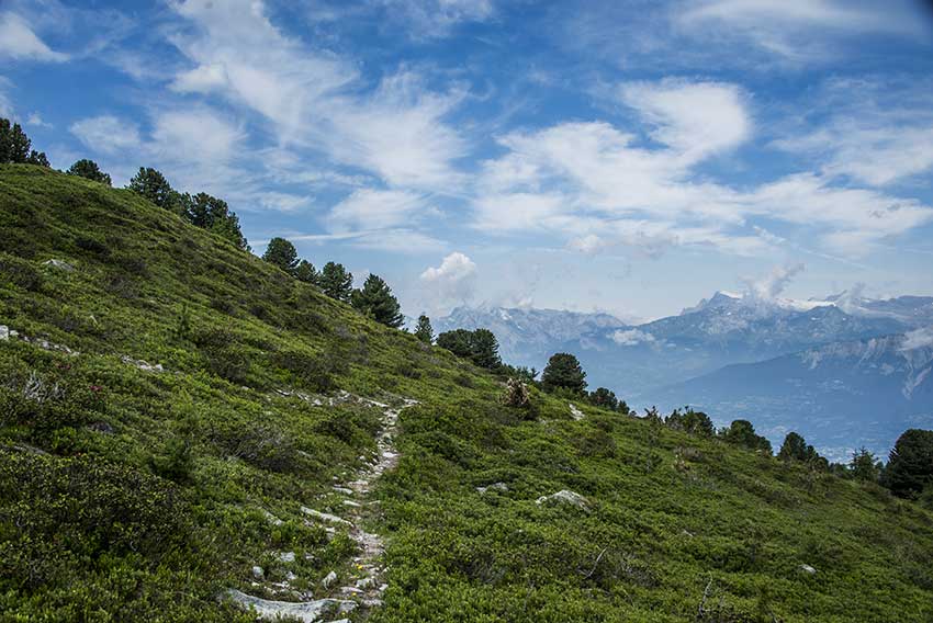
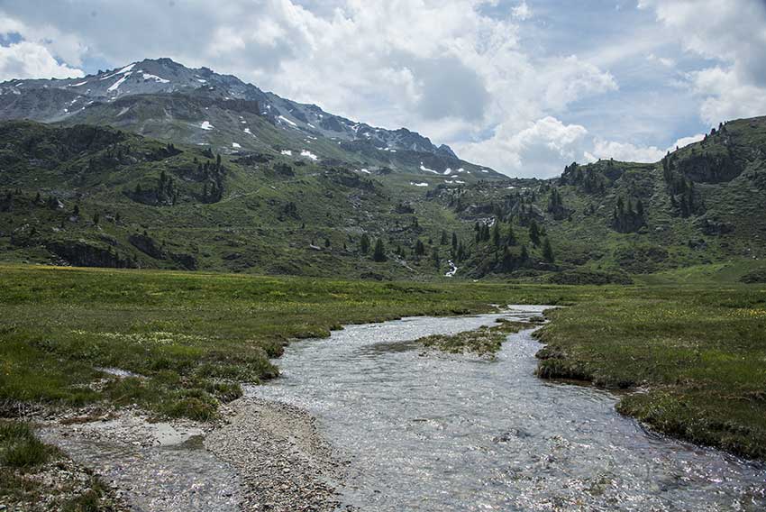
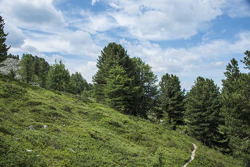
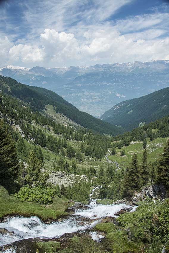
To join the start of the hike, drive up to Vernamiège. cross the village and follow the direction Prarion, Les Gouilles. Once arrived at Les Gouilles (Lac de Vernamiège, 5 km from the exit Vernamiège), the road is no longer paved. Continue this road to the point “1935” on the map (about 3 km, 2 wooden signposts “Alpage”). Park your vehicle and walk to the “Le Chiesso” alpine pasture.The Chemin des Charbonniers starts on the left up, a few dozen meters above the last chalet of the alpage. Consult the path through a beautiful forest larch There are also didactic panels explaining the work of the charcoal makers of the time, follow this path for about 1 hour until a junction (point 2306) and follow the route along the valley of Réchy by the east faces from the Tour de Bonvin and Mont Noble to the Ar du Tsan (about 1 hour) You reach the place called “Le Pichioc”, a magnificent plateau to hold a picnic After a well deserved rest, you start the climb of the col de Cou (about 1 h 30) .In the middle of the climb, a hundred meters after a small flat, the route separates for the col de cou and Lake Louché (point 2341) Follow « col de cou.” Once arrived at col de cou, the downhill does not pose any particular problem, follow Vernamiège, Nax to your starting point.
Note: To admire the panorama you can climb to the top of Mount Noble and join your starting point by a different route that crosses the north face of Mount Noble through the « tête des Planards”.