Tignousa / Schwarzhorn / Illhorn

Location
Valais Val d’Anniviers above St Luc

Descriptif
difficult hike. Not Easy route to climb to Schwarzhorn and between Lac Noir and P. 2415

Total length
about 14 km

Walking time
6 hours

Elevation + et –
+/-1’100 meters
Altitude: between 2180 and 2786 meters

National hiking map 1:50’000
Montana 273 T

Best period
May to October

Difficulty
T3
Useful information
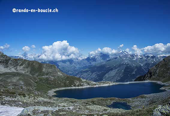
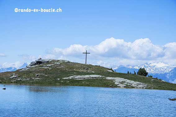
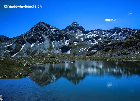
Very nice hike, a little complicated because because of paths not very well indicated. Along this hike you cross 6 mountain lakes.
Itinerary
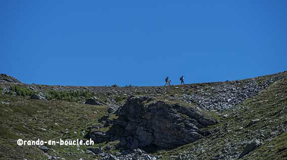
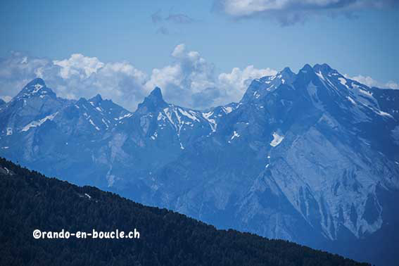
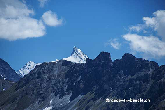
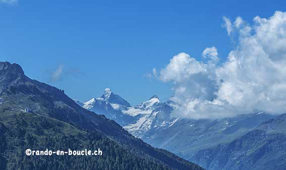
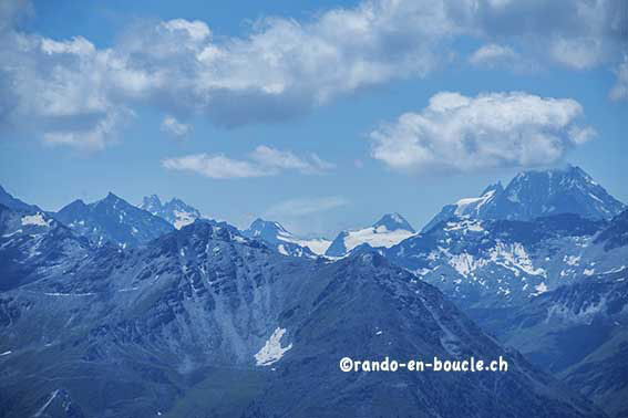
From the arrival station of the funicular take direction Illpass, Lac Noir, Schwarzhorn. Be careful, after the 7th hairpin bend of the road you turn off for NNE, on a not very marked path, straight towards the route of the chairlift you see in the distance. Do not go up to the Bella Tola hut, it’s a useless detour. Normally, since this 7th hairpin bends in the path you have to see off a bench in the middle of pastures, this is the right direction. You join a mountain road that you follow uphill and then downhill to a bend. The Illpass trail begins in the bend. In fact, you walk along the foothills of the Rotze and the ridge of Ombrinstes. The climb to the Illpass is easy. Once at the Lac Noir, you start the climb to the Schwarzhorn. Rise quite step and path very little marked. Follow the red and white marks. You will have the same problem down the Illpass and down the two Illsee lakes. You have to lift your head to follow the red and white marks of the hike. once you have reached the climb route at the Pas de l’Illsee, there is no problem of itinerary. The ascent to the Illhorn is easy and offers you a sumptuous panorama. For the descent from the Pas de l’Illsee, do not follow Tignousa but walk along the Breitwang ridge between altitude points 2544 and 2587. This makes one more summit to climb. Joining the Illpass (altitude point 2487), descend via the uphill path to reach Tignousa and the starting point.

