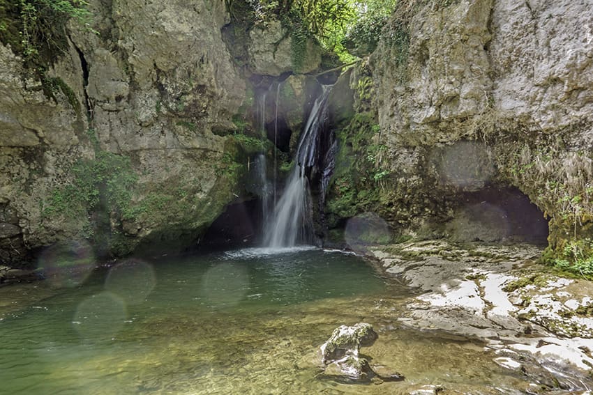
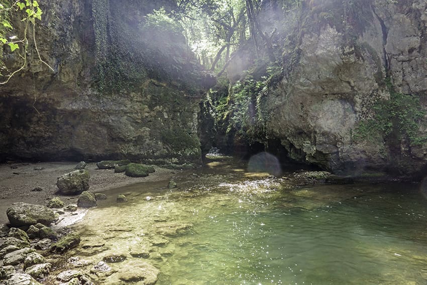
Tine de Conflens

Location
Canton of Vaud between Cossonay-ville and La Sarraz

Descriptif
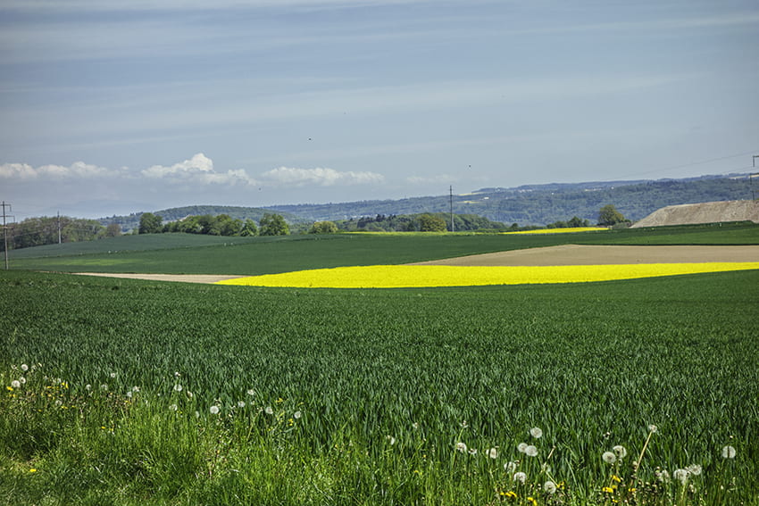
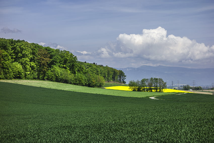
beautiful easy hike between deciduous forest and rapeseed fields

Total length
about 16 km

Walking time
about 4 hours

Elevation + et –
+/-300 meters
Altitude: between 436 and 593 meters

National hiking map 1:50’000
251 La Sarraz

Best period
all year round, in winter take snow and frost conditions into account

Difficulty
T1
Useful information
Very nice loop with many places to take breaks and organize your picnic. There is a La Sarraz-Cossonay city bus service. In summer and on weekends, the Tine de Conflens is a very busy place.
Itinerary
From the center of Cossonay-ville, follow the signs for La Sarraz, Tine de Conflens. After following the main road towards the Vallée de Joux, turn right on an agricultural road. Always follow the directions for the hike to the Tine de Conflens (signs, markings on the trees and arrows on the road). At the beginning, the hike crosses a large agricultural region before reaching a forest (Bois du Sépey). At the exit of the forest, the route crosses a farmhouse and joins the hamlet of Dizy. Continue towards Tine de Conflens and La Sarraz. To admire the Tine de Conflens, before arriving at La Sarraz, the route descends towards La Venoge (indications). In wet weather the path can be very slippery. Retrace these steps and continue towards La Sarraz through the forest. On leaving the forest, the route runs along La Venoge to the bridge that crosses the main road to La Sarraz. Cross the bridge and continue the route along the Venoge to Lussery, reach Cossonay and the starting point.