Tour des 5 Etangs / Arbaz

Location
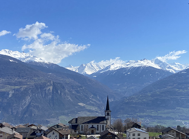
Right bank of the Rhône, Arbaz above Sion

Descriptif
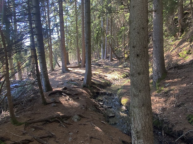
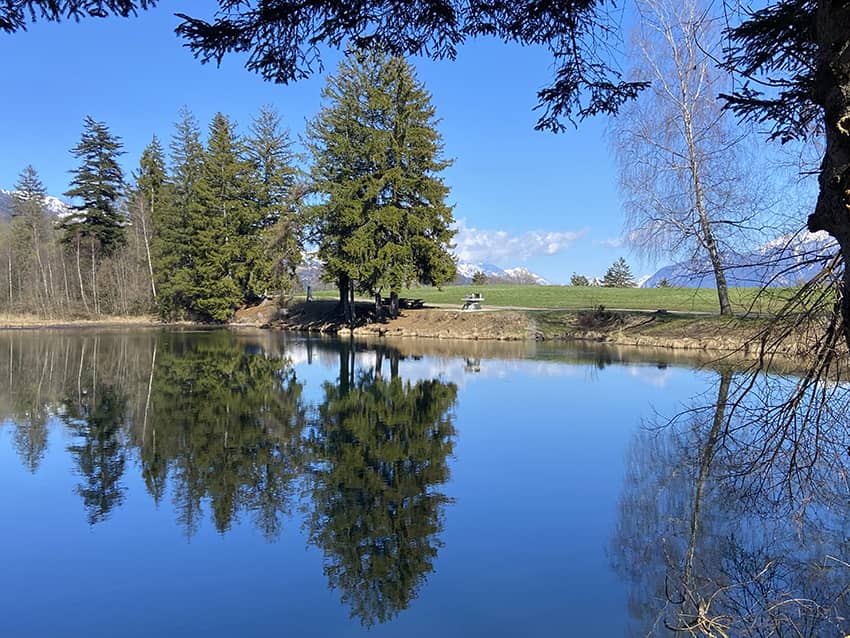
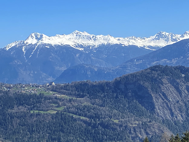
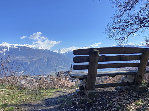
hike not too difficult between forests. ponds and bisse with one of the most beautiful views of the Valais Alps.

Total length
about 6 km

Walking time
about 2 hours

Elevation + et –
+/-236 meters
Altitude: between 1148 and 1335 meters

National hiking map 1:50’000
273 T Montana

Best period
from March to November (depending on the snow cover)

Difficulty
T2
Useful information
The Etang Long and the Etang de la Tourbière are the ideal places to organize a picnic. The path from the Pro Long road towards Arbaz is very steep and not recommended in rainy weather.
Itinerary
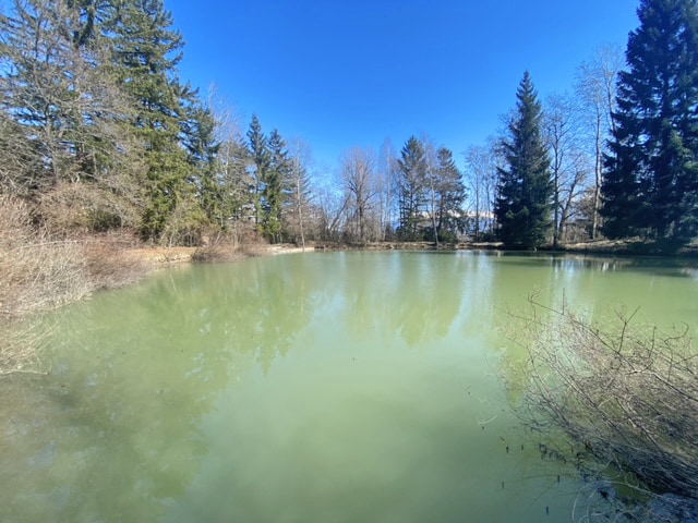
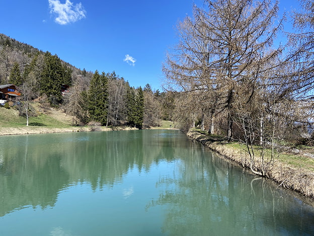
From the village of Arbaz, follow the route du Stade. Once at the height of the football stadium, the route continues towards the east by a path to reach the Etang (pond) of Botyre. Go along the pond on the right (south bank) to join the drive-able road which must be followed uphill (northbound) for 500 meters until the junction bearing the indication Etang de Lombardon.
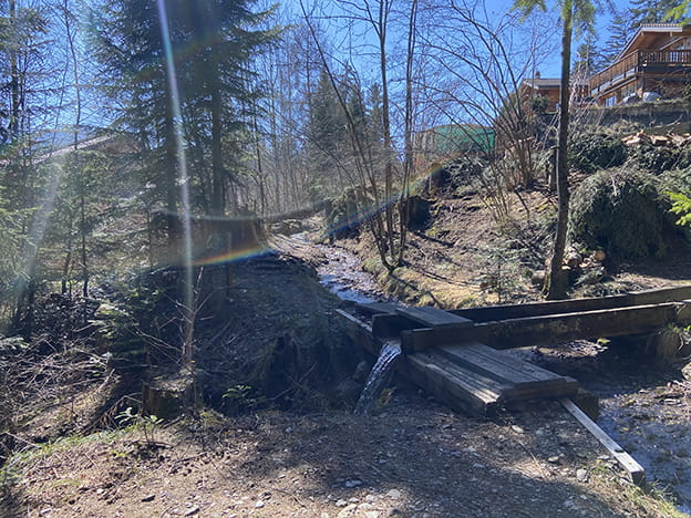
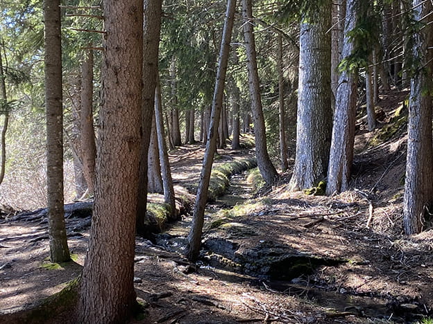
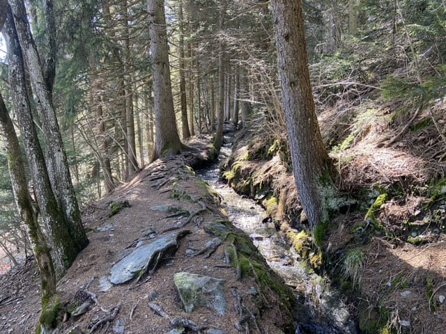
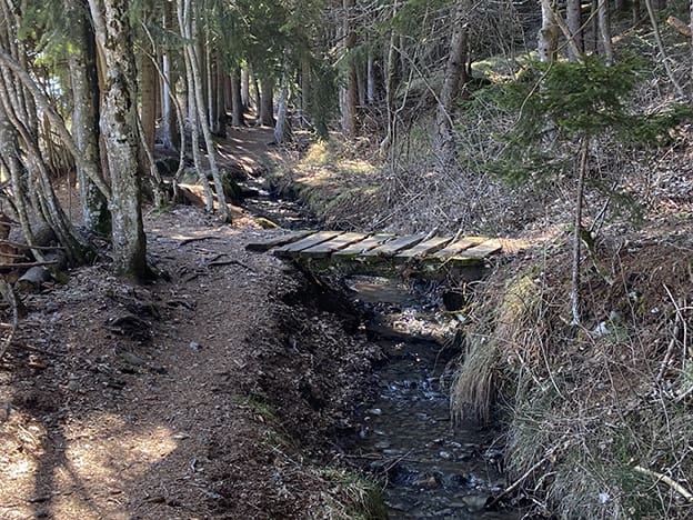
Follow this last direction East to reach the Lombardon pond. Continue to follow the road that runs along the pond (south bank) for about 300 meters to reach a path (north direction) that runs along the Bisse de Bitailla. After 1 km, the route joins a series of chalets. Always follow the course of the bisse. Continue along the bisse for another 1 km to the Etang Long. This part of the route is intersected several times by drive-able roads. The bisse still continues on the other side of the road.
At the Etang Long, go down in the direction of the Etang de laTourbière which is located 50 meters below the Etang Long. Go along the Etang de la Tourbière by the north bank, cross the road to Anzère and follow a road that descends due south through an area of chalets. Go down to the junction of the Pro Long road. Follow left (East, direction Arbaz) for 100 meters. Turn right downstream of the road (southbound) on a very steep downhill path to the village of Arbaz. This path crosses the road to Freina and the road to Anzère. After joining the route du village to Arbaz, descend to the center of the village to complete the route.