Tour du Vallon de Réchy

Location
Nax – Vernamiège, Val d’Hérens, Vallon de Réchy and Grimentz

Descriptif
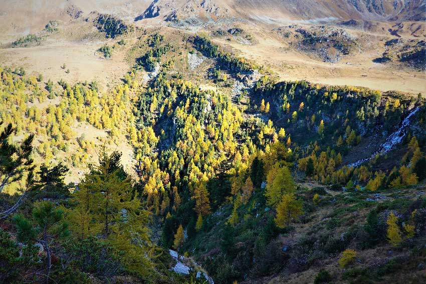
alpine course overlooking the Val d’Hérens and the Vallon de Réchy then the ski area of Grimentz; pleasant two-day hike with the possibility of climbing Becs du Bosson in T4.

Total length
about 25 km over the two days

Walking time
about 9-10 hours in total

Elevation + et –
between 2100 m et 3150 m (Becs du Bosson)

National hiking map 1:50’000
273 Montana

Best period
as soon as snow conditions allow (July to October)

Difficulty
T3

Useful information
Itinerary
Step 1
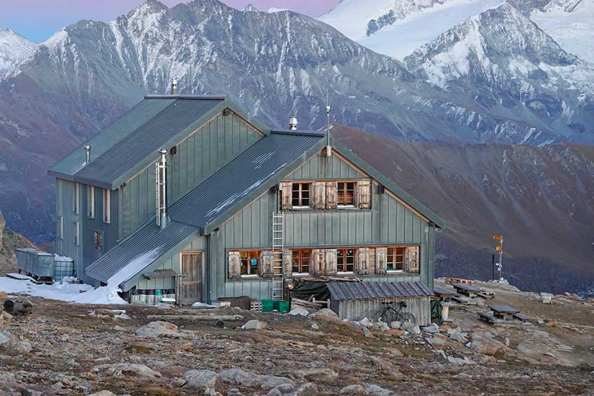
Departure from the La Louère car park above the mayens de Mase (2117 m). Take the path that goes into the forest below the road in the direction of the Lovégno mountain pasture (south) and continue towards the locality of Zornive where a signpost marks the path for the Pointe de Tsévalire by Grand Brandon. Reach the Becs de Bosson hut (2982 m) either by the Tsévalire ridge, or by a way which bypasses it on the south face. From the hut it is possible to reach the summit of Becs de Bosson (3148 m) by a T4 path which requires a certain attention and a good physical condition for the passage equipped with chains. From the hut, allow an hour and a half round trip to the top of Les Becs.
1090 ascent, 216 descent, 7 km, 4h00 walk
2nd step
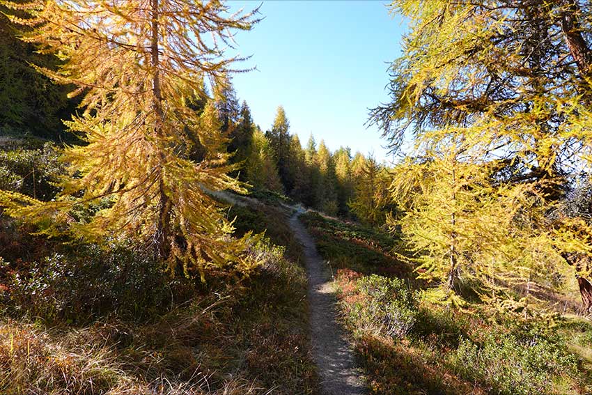
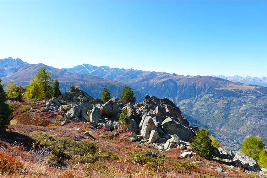
Join the Col des Becs du Bosson (2959 m) to the east of the hut and take the little marked paths in the valley above the slopes of the Grimentz resort via the Col du Tsan (2747 m) . Join the Roc d´Orzival by the stop; beware: the path is narrow and sometimes steep. Continue along the stop until the Sex de la Brinta and finally the Col de la Brinta. Fork due west to descend towards Pichioc, at the bottom of Vallon de Réchy (2184 m). Resume the climb to the Col de Cou (2528 m) before joining the path on the west face of the Combe (2324 m). From there follow the motorable road to the Auberge de la Louère (2165 m). The car park is then less than 10 minutes walk.
650 m ascent, 1511 m descent, 14 km, 5h00 walk