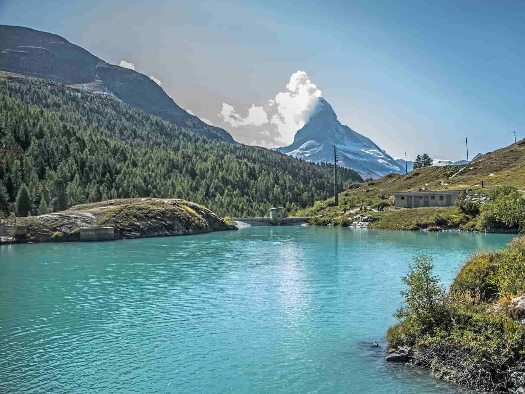
tour of 5 lake Zermatt (VS)

Location
Zermatt above Visp, left bank of the Rhone

Descriptif
not too difficult hike with a magnificent panorama of the Alps and Lake Neuchâtel on a clear day.

Total length
about 11 km

Walking time
about 4 hours

Elevation + et –
+262 meters / -529 meters
Altitude : between 2200 and 260 meters

National hiking map 1:50’000
284 T Mischabel

Best period
June to October (depending on the snow cover)

Difficulty
T2
Useful information
Zermatt can only be reached with the train from Täsch. To avoid paying for the funicular trip from “Sunnegga” there is the option to walk down to Zermatt. Throughout the route of the 5 lakes there are many beautiful places for picnic.
Itinerary
To join the departure of the route, it is necessary to go up by funicular (Sunnegga) and gondola until Blauherd. From Blauherd go slightly east and follow the signs “5-Seenweg”. The route follows Stellisee (indication at the start), Grindjesee, Grüensee, Moosjesee and Leisee. Always follow “5-Seenweg” to return to Sunnegga and reach Zermatt. From “Sunnegga” it is possible to walk to Zermatt with several alternative routes. The most pleasant follows “Patrullarve”.