Tour of Lake Gruyère

Location
Canton of Fribourg between Broc and Corbières, near Bulle

Descriptif
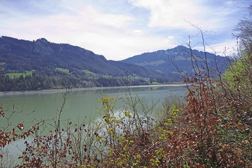
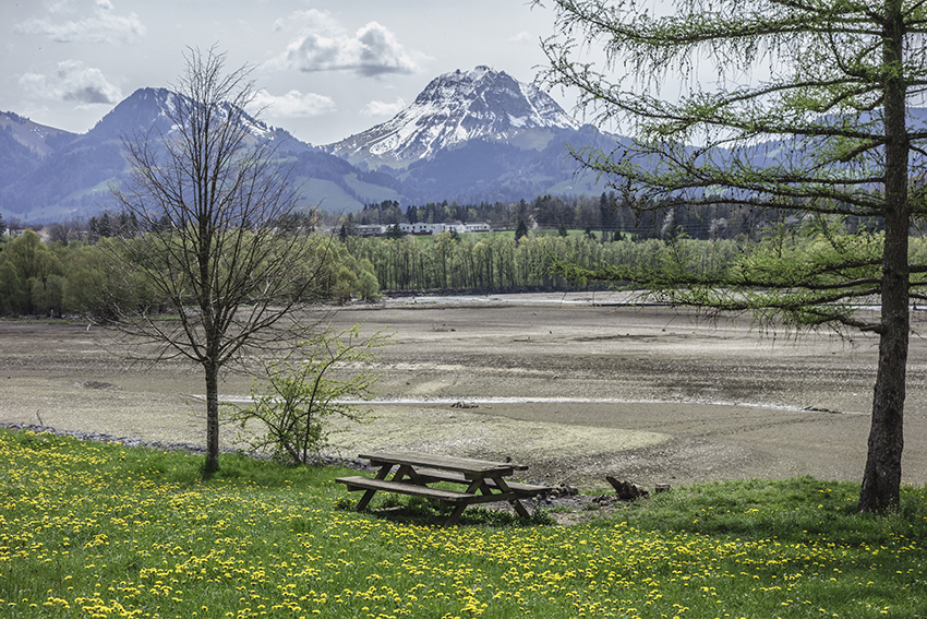
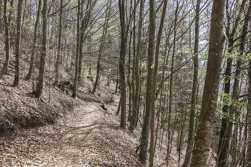
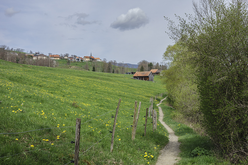
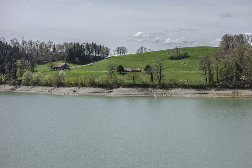
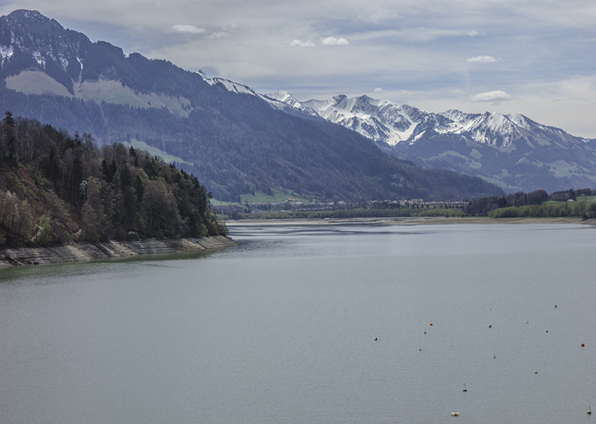
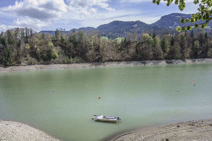
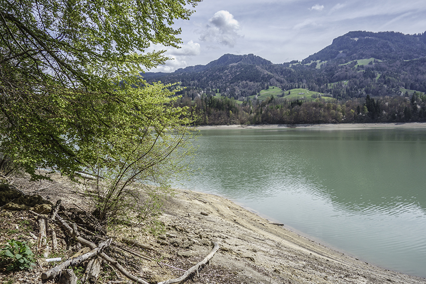
hike not too difficult, well shaded and along the lake of Gruyère. Which is an artificial lake whose level varies according to the seasons.

Total length
about 14 km

Walking time
about 4 to 5 hours

Elevation + et –
+/-492 meters
Altitude: between 678 and 724 meters

National hiking map 1:50’000
252 Bulle

Best period
from March to November

Difficulty
T2
Useful information
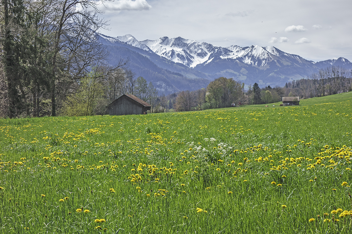
Nice loop with beautiful vistas. Many possibilities to organize a picnic. Avoid in wet and/or rainy weather. The descent from the summit of Les Aiguilles via the Col de l’Aiguillon route can be very slippery and dangerous. If in doubt, from the summit retrace your steps and take the descent via the Chalet des Aiguilles.
Itinerary
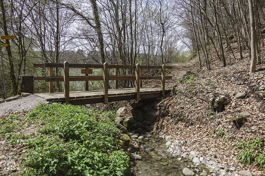
The route starts in Broc. From the train station or the Nestlé road which overlooks the plain of Lac de la Gruyère, follow the indications “Tour du lac de la Gruyère”. Join the route du Lac and follow the road towards the north to start the hike on the left bank of the lake (general direction Corbières). After crossing the Corbières bridge, follow the road for about a hundred meters alongside a construction company.
At the indication Broc, tour du lac, cross the company’s building materials depot and join the route which begins with a climb up a flight of stairs. Follow the route to Broc which is punctuated by climbs and descents. Before arriving in Broc, the route joins a farm and an industrial area which you bypass by following the paved road. After leaving this sector, the path descends towards an electrical factory and the chocolate factory of Broc. Follow the directions and return to the starting point.