Tour (Tower) de Gourze

Location
Puidoux-Chexbres in the canton of Vaud

Descriptif
Easy hike to do with children. Very popular on weekends.

Total length
about 10 km

Walking time
about 3 hours

Elevation + et –
+/- 440 meters
Altitude: between 616 and 925 meters

National hiking map 1:50’000
261 Lausanne

Best period
all year round but preferably in spring and autumn

Difficulty
T2
Useful information
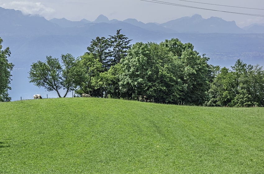
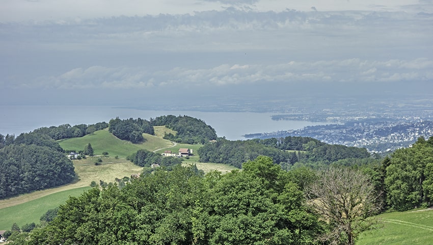
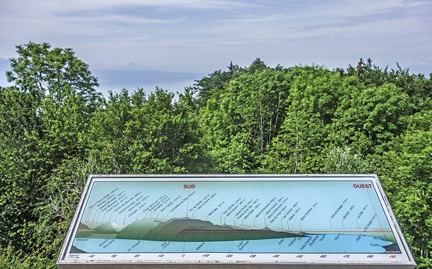
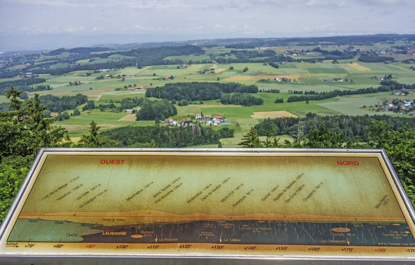
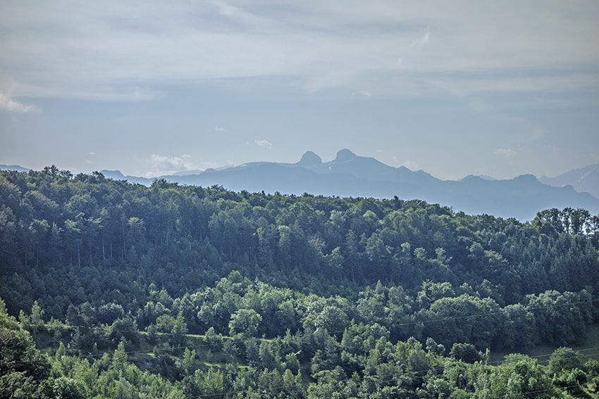
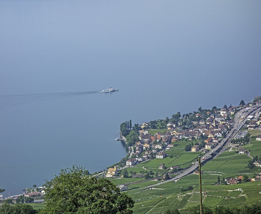
Very nice hike, great for kids. From the top of the Tour de Gourze, a magnificent 360 ° panorama over the Jura and Lake Geneva. Many tables for a picnic.
Itinerary
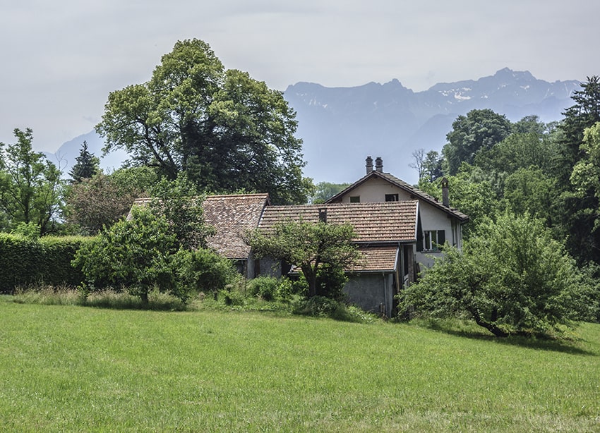
From Puidoux station follow “Tour de Gourze”. At a place called “Bois de Romont”, leave the road on the right to go up towards the hill. At altitude point 822, cross the forest on the “Duflonnevita” route. At the crossroads of the route de Gourze and the route de la Ramure, take the route de la Ramure and follow the signs for the “Tour de Gourze” route. Once you reach the Tour de Gourze there are many places to have a picnic. Descend via the Tour de Gourze route which branches off to the left at altitude point 810. The route joins the intersection of the Route de la Ramure and the Tour de Gourze. Continue towards La Vulpillière via the Corbessière path. At the Vulpillière, cross the hamlet and follow in the direction of Puidoux, Chexbres to reach the starting point. The end of the route joins the start of the journey.