Tsina di Vio

Localisation
–

Descriptif
–

Longueur totale
Environ 11km

Temps de parcours
Environ 5 heures jusqu’à la cabane du Grand Mountet

Dénivelé + et –
Altitude : entre 1’700 et 2’900 mètres
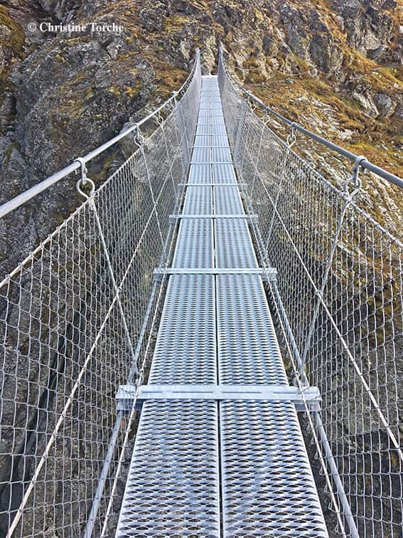
Longueur et hauteur de la passerelle : 45 m. et 120 mètres

Carte nationale d’excursion 1:50’000
283 Arolla

Meilleure période
De juin à septembre

Cotation
–
Informations pratiques
Itinéraire assez difficile. Possibilité de se restaurer à la cabane du Grand Mountet. Environnement alpin.
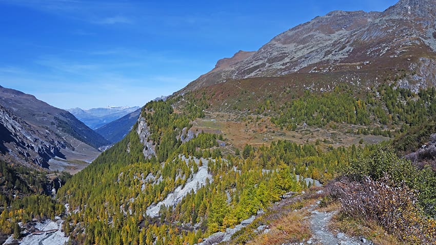
Itinéraire
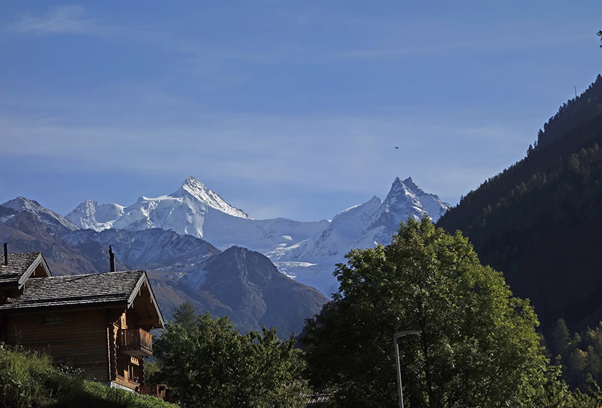
Depuis le village de Zinal, suivre la direction cabane du Grand Mountet. L’itinéraire commence par longer une plaine alluvionnaire avant une première montée assez facile. Par la suite et avant d’atteindre la passerelle de Tsina de Vio, la montée est difficile. Après avoir traversé la passerelle, continuer jusqu’à la cabane du Grand Mountet pour admirer le splendide panorama sur la Dent blanche, l’Obergabelhorn et le Zinalrothorn.