Arbey Lake – Evolène

Location
Val d’Hérens on the left bank of the Rhône

Descriptif
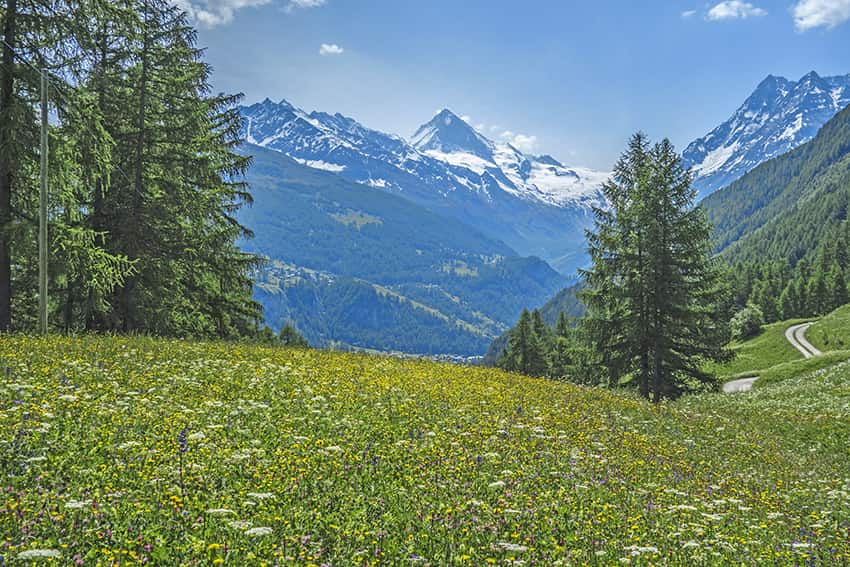
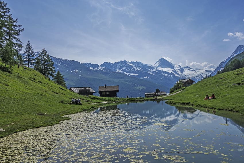
easy hike with a nice little lake and a wonderful view of the Dent Blanche

Total length
about 6 km

Walking time
about 2-3 hours

Elevation + et –
+/- 500 meters
Altitude: between 1377 and 1772 meters

National hiking map 1:50’000
283 T Arolla

Best period
from May to October

Difficulty
T2
Useful information
Very nice hike, great for kids. At Lake Arbey, there are many tables for picnics and a magnificent view of the Dent Blanche and the bottom of the Val d’Hérens.
Itinerary
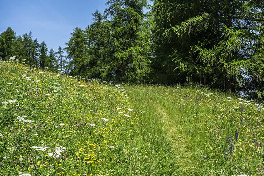
From the village of Evolène take direction Lanna following the motorable road for about 1 km. After crossing the bridge over the river La Borgne, it remains about 300 meters until the start of the route which is indicated by yellow signs for pedestrian paths. After about 400 meters of ascent, the route joins a fork where there is a bench. It is possible to reach Lake Arbey from both directions. We recommend that you follow the direction of Vernec, Col de la Meina, Pic d´Arzinol, Arbey lac, Chemeuille. The climb is easier and the whole route is shaded. Thereafter, follow the signs for Arbey lac, Vernec, Vouasson for more than 1 km to reach a first fork in the direction of Lake Arbey. We always recommend that you follow in the direction of Pic d’Arzinol, Chemeuille for about 500 meters until the next junction for Lake Arbey. For the return, follow the direction of Evolène and reach the starting point.