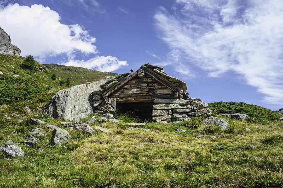
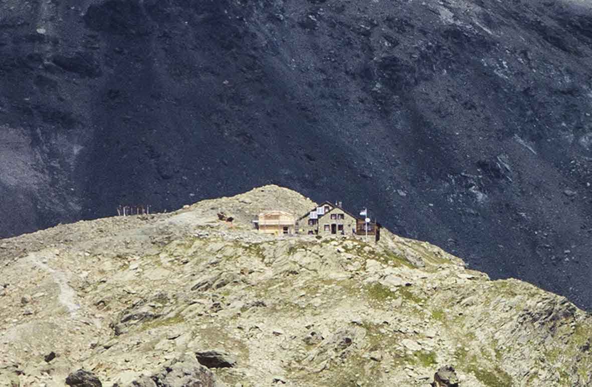
Arolla / Aiguilles rouges hut

Location
Arolla, on the left bank of the Rhone – Val d’Hérens – from Sion

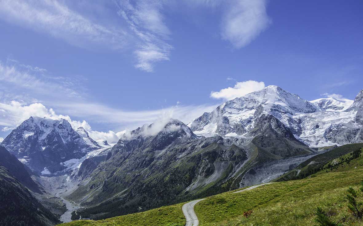
Descriptif
not very difficult hike, in a high alpine environment

Total length
about 13 km

Walking time
5 to 6 hours

Elevation + et –
+/-1000 meters

National hiking map 1:50’000
283 T Arolla

Best period
mid-June to October (depending on the snow cover)

Difficulty
T3+
Useful information
If you do not want to return to Arolla, from Lac Bleu you can also reach La Gouille which is also served by public transport. Pramousse and Satarma too.
Itinerary
If you join Arolla by public transport, from the village post of Arolla follow this road to the 4th hairpin. In the middle of the hairpin, follow the forest road that goes north until you reach a path with the indication Aiguilles rouges hut. This path begins in the first hairpin of the road you follow. Once on the way, which starts with a fairly dry climb through a forest, you are on your way. The general direction of the course is NNW until the stop of “Le Troûco”. If you feel like it, go to the Tête du Tronc to admire the panorama (15 minutes). From here you see the hut in front of you. You have about 1 hour walk to the mountain refuge. For the return, go up some ten meters above the hut to join your way of descent by the Remointze of the Sex blanc to the Lac Bleu. From the lake, follow a path due south to your starting point. In the foothills of the Tête du Tronc, do not go down towards Satarma and Pramousse.