Around Mont Gond

Location
Central Valais, between the Derborence valley and the Sanetsch, right bank of the Rhône

Descriptif
fairly uncrowded challenging hike

Total length
about 11 km

Walking time
about 4 hours

Elevation + et –
+/- 751 meters
Altitude: between 1911 and 2351 meters

National hiking map 1:50’000
273 T Montana

Best period
from june to september

Difficulty
T3+
Useful information
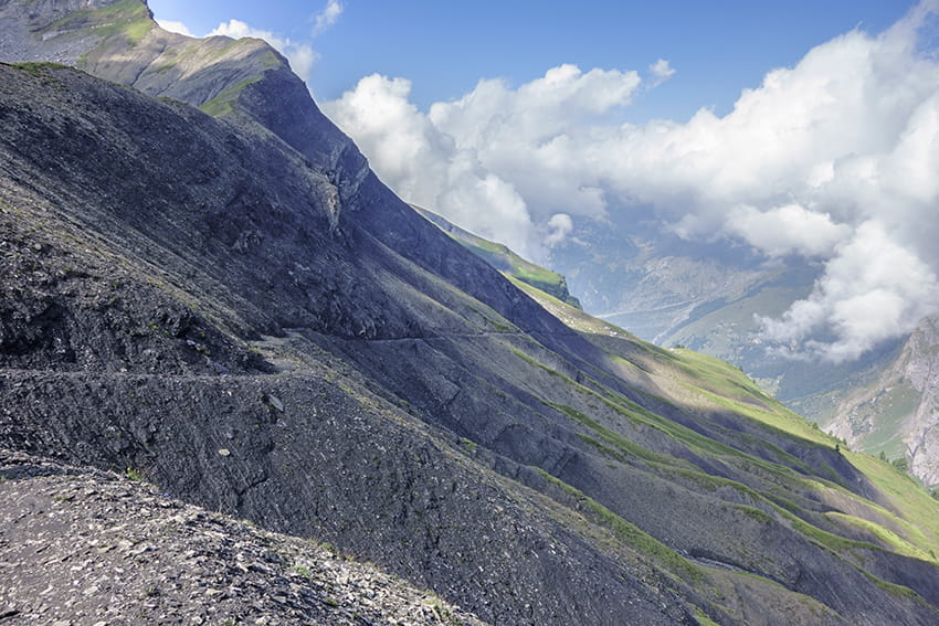
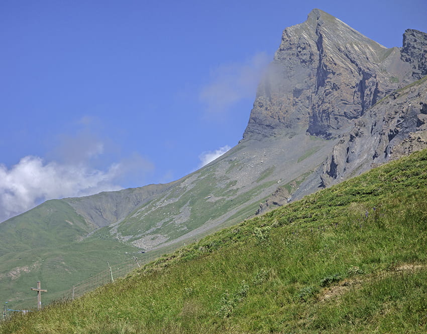
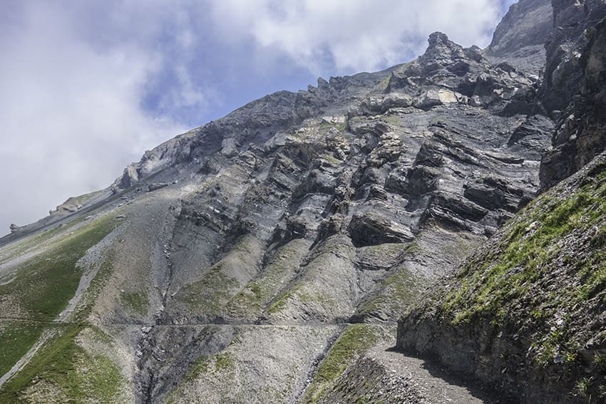
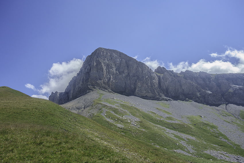
During the ascent to the Croix de l’Achia, we have the opportunity to see many not very shy marmots. From the Croix de l’Achia, the crossing along the foothills of Mond Gond is impressive for people not used to the void. This part of the route is to be taken with great caution after a storm because there may be many landslides that hinder the path. This part of the route requires very sure footing. From the Croix de l’Achia, the panorama of the Valais Alps and the region of the Diablerets glacier is magnificent.
Itinerary
Departure
After the Clair-de-Lune restaurant in the Mayens de Conthey, follow the road to Incron for 2.5 km until the junction of the chemin de la Montagne and continue towards the Alpage de Flore. Follow this alpine road for about 1 km. At the hairpin turn left towards the Ayroz hut and park the vehicle in the first hamlet after about 350 meters of ascent.
Itinerary
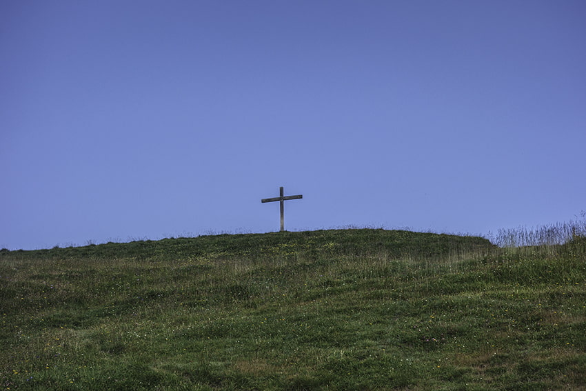
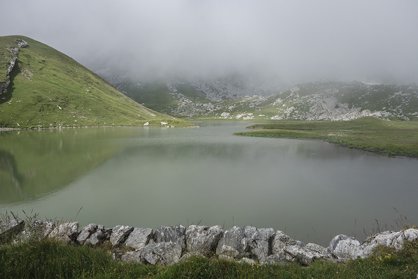
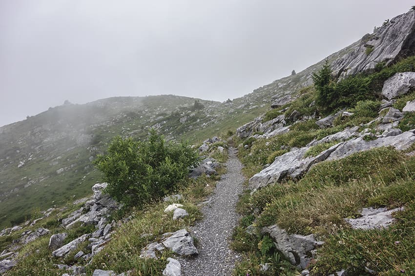
From the hamlet, follow the alpine road which goes flat towards the East to the 1960 altitude point. From this place. follow the indications “La Croix de l’Achia et Etang de Trente Pas” by a fairly steep climb. (Attention, after about 100 meters the route leaves the alpine road and crosses the pastures). From the Etang de Trente Pas, at the height of the wall of the Etang, follow a path towards the East to continue towards the Croix de l’Achia. Descend towards Gîte de Lodze along a good path that crosses the northern foothills of Mont Gond. After a short descent, the route always goes up through these somewhat impressive foothills. At altitude point 2287, descend in the direction of Chaux de Lodze by a path that is not very marked (general direction of the cross of Chaux de Lodze which can be seen from afar in good weather). From Chaux de Lodze, the path is obvious again up to altitude point 2091. Continue on the alpine road to the left towards the Ayroz hut and the Mayens de Conthey. (It is also possible to descend in the direction of Gîte de Lodze, in this case allow an extra hour). After 500 meters (altitude point 2099), turn left on a path that climbs towards Les Fantanets. After a short climb follow the path on the eastern side of the ridge towards Chaux d’Aïre and the Ayroz hut to reach the starting point.