Bettmeralp / Riederalp

Location
on the right bank of the Rhône, Goms valley, above Mörel and Betten

Descriptif
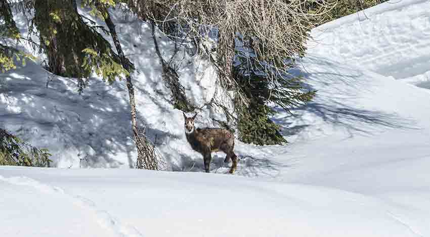
snowshoe hike, easy, with a magnificent panorama of Mischabels, Matterhorn and Weisshorn

Total length
about 4 km

Walking time
approx. 2 hours

Elevation + et –
+/-250 meters

National hiking map 1:50’000
Jungfrau 264 T

Best period
in winter with good snow conditions

Difficulty
T1
Useful information
Magnificent course with exceptional panorama on the Valais Alps and its 4’000 meters most famous. Bettmeralp and Riederalp are resorts that can only be reached by cable car and there are no cars.
Itinerary
Start
From the arrival station of the Bettmeralp cable car, follow the directions for the “snowshoe” route heading left (West). After a few dozen meters, the route goes up to the Waldhaus Hotel. The route continues uphill (North), it passes between two cottages and follows the edge of the forest that we cross thereafter. The route crosses a chairlift and reaches the highest point of the route (Gopplerlücke). From here, the route continues towards Schweibuflüe on a slight descent. The route crosses a small chapel (St. Bernard) and continues towards Biel and Flesch after crossing a forest. From the Adler restaurant, the route follows the indications “Aletschpromenade” to return to Bettmeralp.