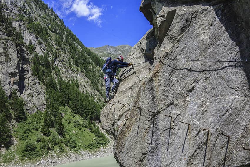
Klettersteig Aletsch Location Haut-Valais, Gibidum dam reachable from Blatten bei Naters above Naters Descriptif Extraordinary very difficult hike, which takes place ⅔ in a via ferrata situation and ⅓ walking around the Gibidum dam Total length about 3,5 km Walking...
L’Aiguille Location Left bank of the Rhône above St Maurice in the Bas-Valais. Descriptif A technically easy trail that allows you to quickly gain height above the plain. Pleasant and cool in summer. Total length 41 km-effort Walking time 19 km Elevation + et –...
L’Ardève Location Right bank of the Rhone above Leytron. Descriptif technically average trail with an aerial part on the summit ridge not recommended for people with a fear of heights. The summit can be avoided by going through the Mayens de Chamoson. The route is a...
L’Ertense / bisse du Rho Location Crans- Montana, Ertense valley Descriptif nice hike with some very dizzying passages Total length about 13 km Walking time about 4 hours Elevation + et – +270 meters -1’020 meters Altitude: between 1’500 and 2’25’ meters...
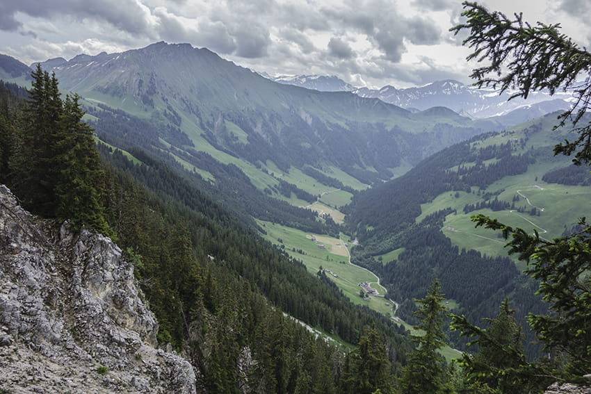
L’Etivaz / Plan de la Douve Location Canton of Vaud on the Château-d’Oex side of the Col des Mosses. Descriptif challenging hike. Sustained climb to the Douve refuge and very steady climb from the refuge to Plan de la Douve. Avoid for people prone to vertigo. The...
La Coutaz / La Niva Location Val d’Hérens on the left bank of the Rhône near Arolla. Descriptif walk not very easy in a magnificent alpine panorama Total length about 9.5 km Walking time 3 to 4 hours Elevation + et – +/-600 meters National hiking map 1:50’000...