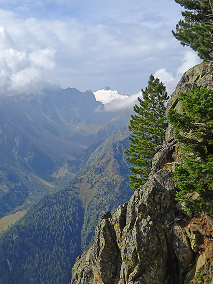
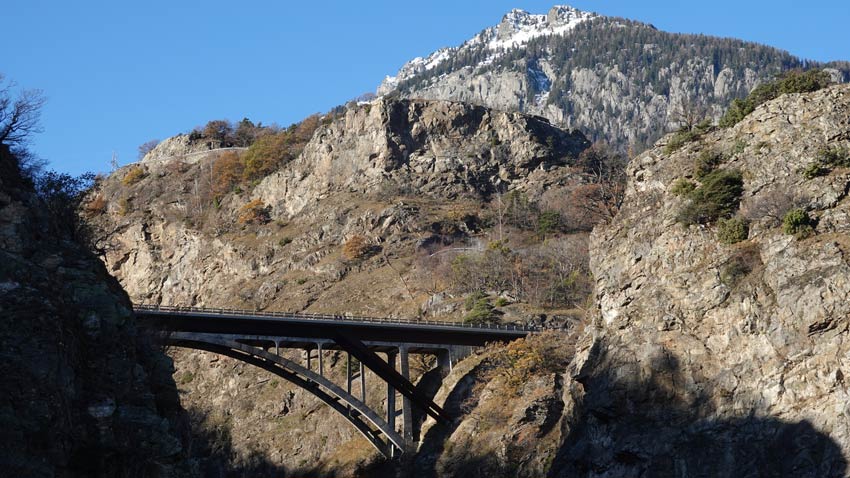
Le Catogne Location Champex-Lac above Orsières (Val de Ferret), canton of Valais Descriptif magnificent hike with varied difficulties and landscapes. From the top of Catogne the panorama is just sublime. We can see Martigny and the Rhone plain, the Grand Chavalard,...
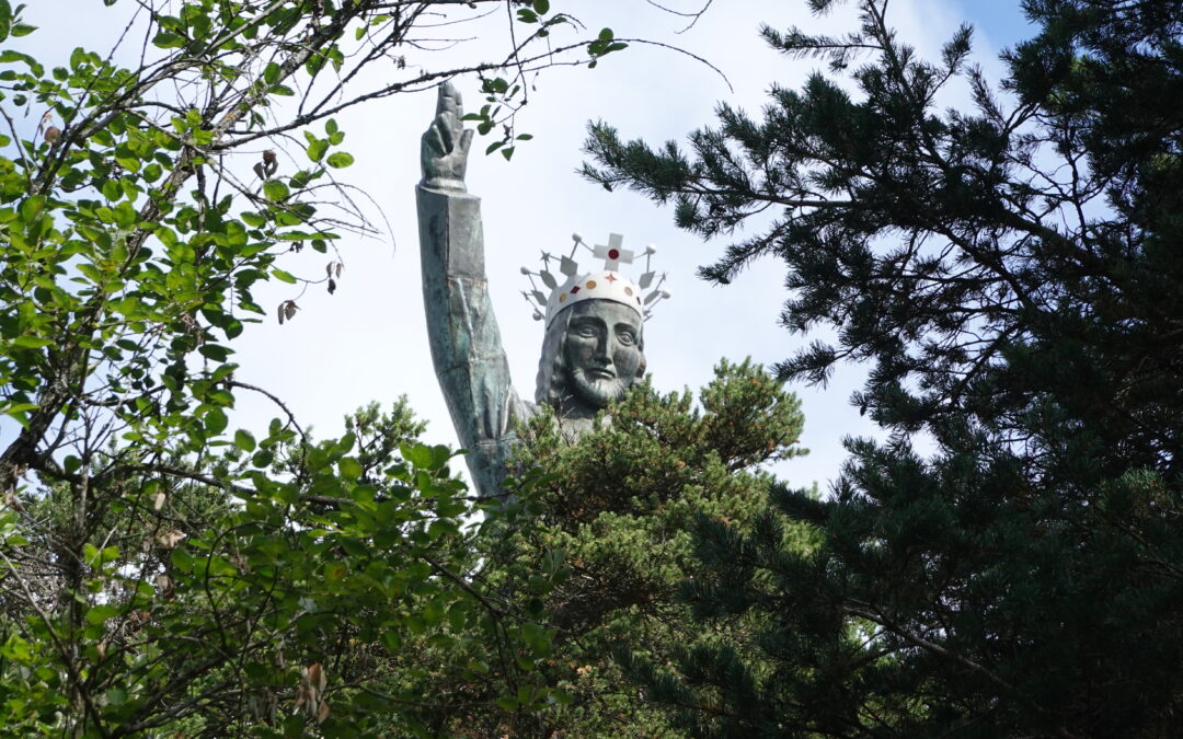
Le Christ – Roi Location Right bank of the Rhone above St Léonard, at the height of Lens. Descriptif Easy low altitude trail, between mountains and hills, in T2-T3 to start a season or keep fit. The trail runs along three different bisses (Clavau, Gd bisse de...
Le Galihorn Location Left bank of the Rhone, in the Upper Valais, on the Simplon road, above Gabi. Descriptif Medium mountain trail but requiring essential equipment such as a first aid kit, means of communication and orientation: the change of scenery is total....
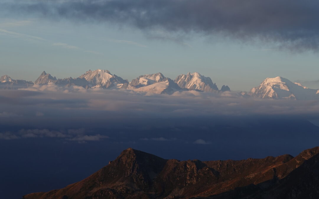
Le Grand Chavalard Location Right bank of the Rhone above Leytron, in Ovronnaz. Descriptif Difficult trail between forests and mountains, in T4. The route runs through the mountain pastures and touches the peaks. A great moment of happiness. Reduced equipment and...
Le Mont de l’Arpille Location Right bank of the Rhone above Martigny in the Lower Valais. Descriptif Trail of average difficulty with steep passages equipped with chains. Route sometimes very poorly marked. Total length 48 km-effort Walking time 22.7 km Elevation +...
Le Prabé Location Right bank of the Rhone above Savièse and Sion. Descriptif medium trail from the plain to the summit of Prabé, mainly in T3 but with tricky sections on the ridge overlooking the Morge de Conthey. Otherwise, paths in the vineyards and pastures, wide...