Le Mont de l’Arpille Location Right bank of the Rhone above Martigny in the Lower Valais. Descriptif Trail of average difficulty with steep passages equipped with chains. Route sometimes very poorly marked. Total length 48 km-effort Walking time 22.7 km Elevation +...
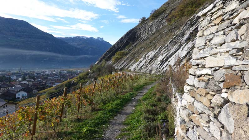
Le Prabé Location Right bank of the Rhone above Savièse and Sion. Descriptif medium trail from the plain to the summit of Prabé, mainly in T3 but with tricky sections on the ridge overlooking the Morge de Conthey. Otherwise, paths in the vineyards and pastures, wide...
Le Schwarzhorn Location Left bank of the Rhone above Susten-Agarn, at the height of Leuk. Descriptif difficult trail going from the plain to the summit of the Schwarzhorn, mainly in T3 and with the ascent of the summit in T4 on small sections. Wild as you want until...
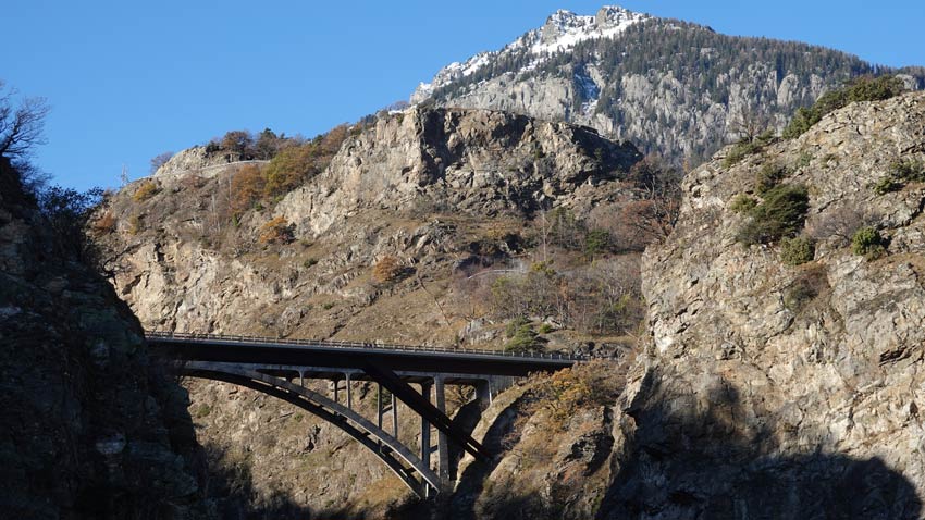
Les Ancillons Location Right bank of the Rhone above Ardon. Descriptif technical trail with an aerial part that allows you to reach the summit ridge, not recommended for people with a fear of heights. The route is a T3-T4 mountain path going from the plain to the...
Luan / Berneuse Location Luan above Yvorne and Corbeyrier Descriptif difficult hike, typical of the Vaudois Alps (steep climbs and descents) Total length about 10 km Walking time about 5 hours Elevation + et – +/-900 meters National hiking map 1:50’000 272 St...
Mont Bifé / Vanil des Cours Location Canton of Fribourg, on the Jaun Pass road, after Bulle et Broc Descriptif Difficult hike to the typical topography of this region. Steep climbs and descents. If you are strongly subject to vertigo, this hike is not for you. Total...