Caux / Rochers de Naye

Location
Caux above Montreux and Glion

Descriptif
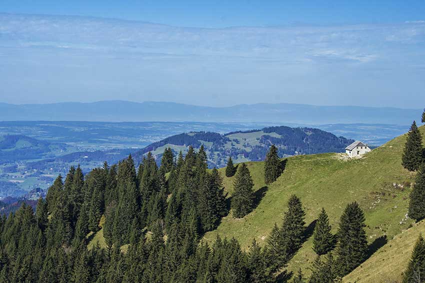
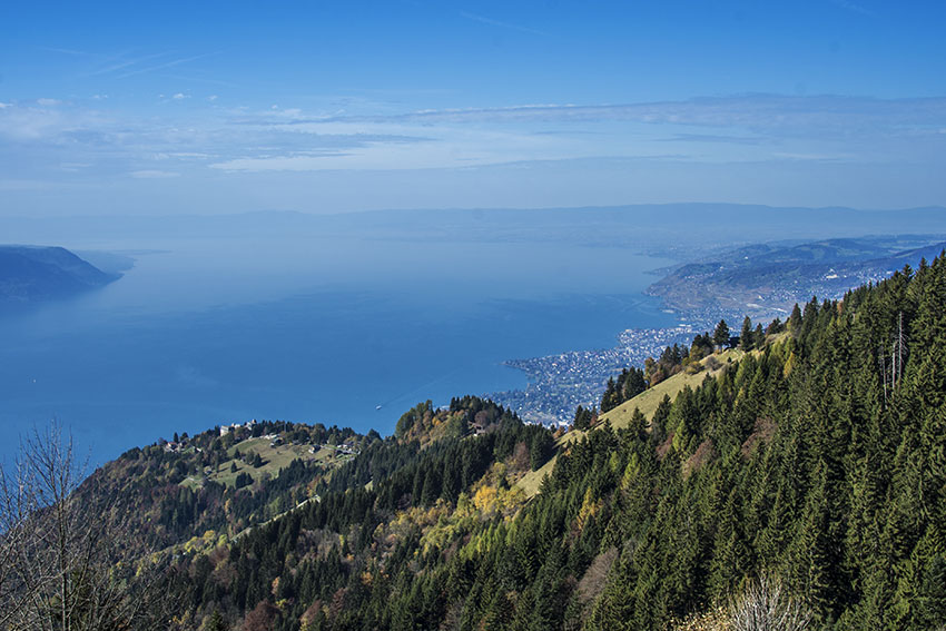
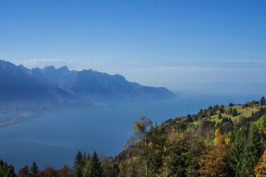
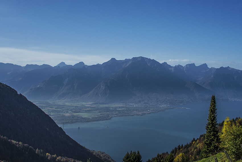
difficult hike during which you admire the panorama on Lake Geneva, the Riviera and Chablais.

Total length
about 11 km

Walking time
about 5 hours

Elevation + et –
+/- 900 meters

National hiking map 1:50’000
262 T Rochers de Naye

Best period
May to October

Difficulty
T3
Useful information
The climb to Merdasson is quite rough. If you travel this route late in autumn, do not leave too early, because the section from the Perche to point 1832 is in the shade until 13 hours and may seem a little austere.
Itinerary
From the Hauts de Caux train station, follow Crêt d’y Bau and then La Perche. When you arrive at La Perche, climb to the top of the Merdasson to admire the 360 ° landscape. The path to get there is right next to the Perche train station. The start of the path is not easy to find (no indication). Continue your hike following the path that begins under the station of Perche towards the foothills NO Rochers de Naye. Follow these foothills and always follow the direction Rochers de Naye. When you reach point 1832, the path continues in the direction of the Creux à la CIerge. From the junction of the Creux à la Cierge, take the Dentaux direction and then Caux to join your departure point.