Orny hut

Location
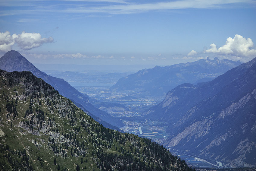
Champex on the left bank of the Rhone above Martigny and Orsières.

Descriptif
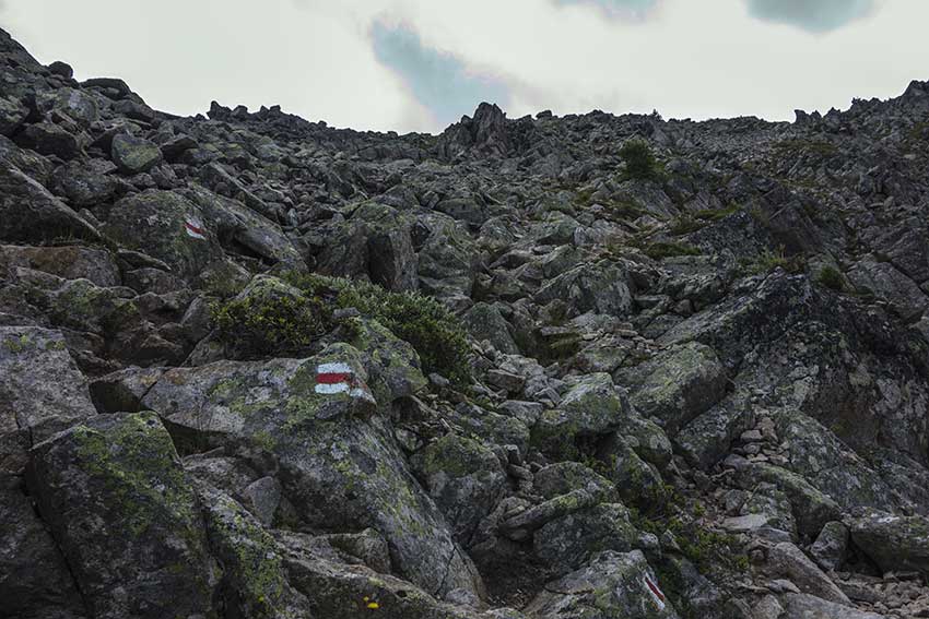
Difficult hike for experienced walker with sure foot. During the ascent to the Col de la Breya and the descent of the Revers d’Arpette there are many objective risks (risk of falling rocks, crossing paths, risks of slipping). Not recommended for people susceptible to vertigo. Use of walking sticks recommended. To go in dry weather.

Total length
about 12 km

Walking time
5 to 6 hours

Elevation + et –
Positive difference in height: approx. 800 meters
Negative altitude difference: approx. 1’500 meters

National hiking map 1:50’000
Martigny 282 T

Best period
mid-June (depending on snowmelt) to October

Difficulty
T3 – T4
Useful information
Outside the summer period, ask for Breya chairlift timetables.
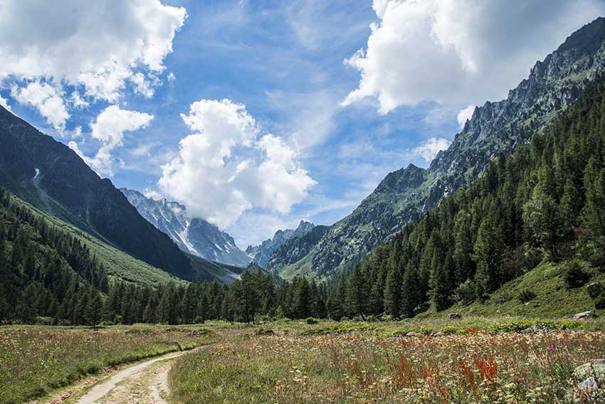
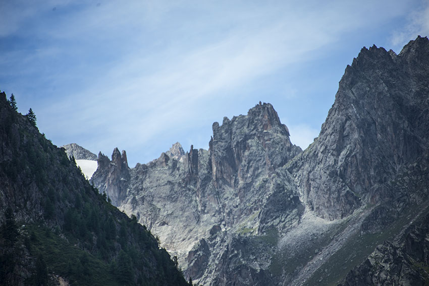
Itinerary
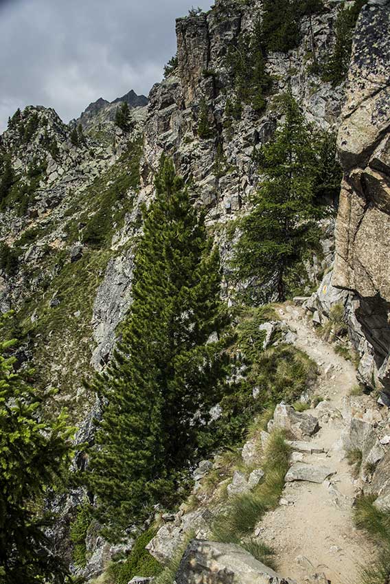
From Champex Lac, take the Breya chairlift. From the top of the chairlift take the direction « Cabane d’Orny” for a climb of about 600 meters positive elevation. If you want to picnic in nature, stop at Orny Lake which is a little below the hut to the right a little above the hut route. To join the route of the Col de la Breya and the Revers d’Arpette, you must go down to the point “2390” to take the path along the ridge of the Breya. The climb is tricky! Once in the pass, rest before you start the downhill of the Revers d’Arpette which is tricky and quite vertiginous along a huge scree. When you have reached the forest, go down to the northwest to Relais d’Arpette. To reach Champex Lac, follow the Bisse du Petit Ruisseau rather than the road. The start of the bisse is a hundred meters after the Relais d’Arpette to the left of the road, follow the torrent to the water intake of the bisse (about 100 meters difference in altitude) and follow the bisse to Champex Lake.