Chemin-Dessus / La Crevasse

Location
Above Martigny on the Col des Planches road.

Descriptif
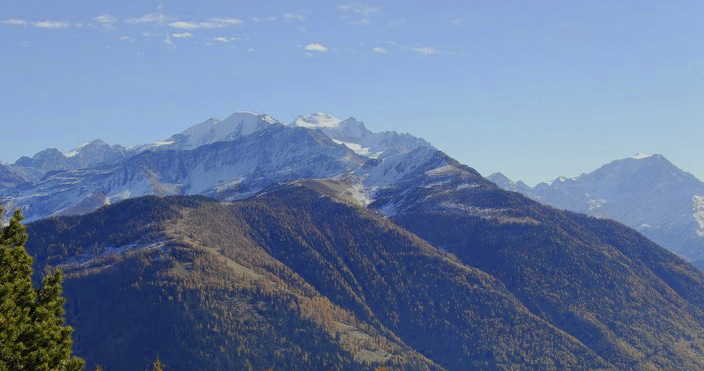
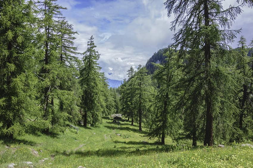
very nice hike through a magnificent larch forest and a sumptuous panorama of the Dents du Mid, the Trient and Combins mountains

Total length
about 12 km

Walking time
about 4 to 5 hours

Elevation + et –
+/-800 meters
Altitude: between 1129 and 1808 meters

National hiking map 1:50’000
282 T Martigny

Best period
from may to october

Difficulty
T3
Useful information
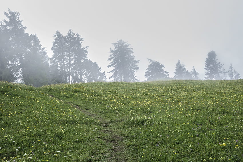
Magnificent hike through larch forests and pastures. Many places to organize a picnic. Sumptuous panorama of the Dents du Midi and the Trient and Combins mountains.
Itinerary
In front of the Les Frênes postal stop at Chemin-Dessus, take the road going west until the Chemin du Joueur junction. Continue south towards Vens, Col des Planches. After 1.5 km, do not descend on Vens but follow Col des Planches. Once at the pass, follow the Col du Tronc, Col du Lein via a forest road. After 300 meters of climb. follow the indication La Crevasse. The climb is quite steep (400 meters of elevation gain over 1.6 km) to the summit but once arrived the panorama is breathtaking! For the descent, follow east towards Col du Tronc. Once at Col du Tronc (elevation point 1608). do not follow the signs for Col des Planches but follow the downhill road which branches off to the west for 250 meters, to take a path located downstream of this road and which crosses forests and pastures to reach the main road from Col des Planches. From the Col des Planches, head west, passing the houses in the direction of Les Planches and Chemin-Dessus to reach the starting point.