Chinbettihöre

Localisation
Rive gauche du Rhône au-dessus de Loèche-les-Bains

Descriptif
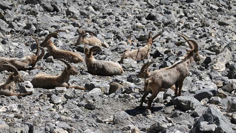
Trail alpin T3-T4 avec un départ à 2315 m. Décors minéral avec une géologie remarquable de la formation des Alpes. On pourrait se croire sur une autre Terre…

Longueur totale
15.60 km

Temps de parcours
30 km-effort

Dénivelé + et –
Dénivellation : 1087 m
Altitude : entre 2207 et 2803 m

Carte nationale d’excursion 1:50’000
Gemmi 1267

Meilleure période
De juillet à septembre

Cotation
T3-T4
Informations pratiques
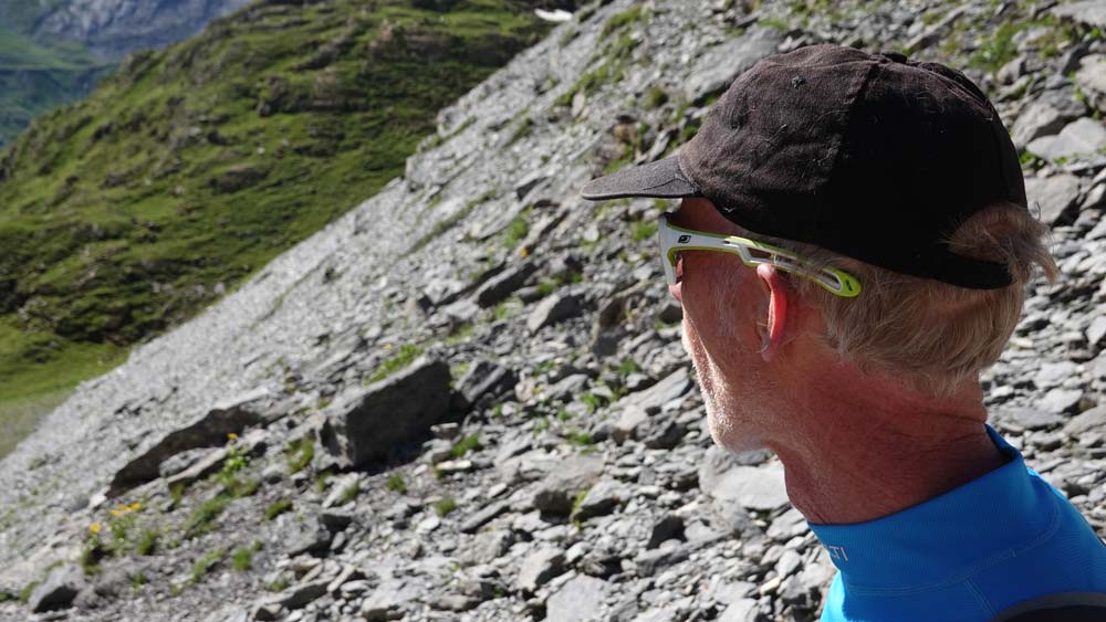
L’orientation peut être délicate en cas de mauvais temps et les bâtons utiles pour joindre le sommet du Chinbettihöre. Attention à l’arête profilée. Ne pas manquer de vous renseigner sur l’ouverture des installations de la Gemmi sous peine d’allonger votre course.
Itinéraire
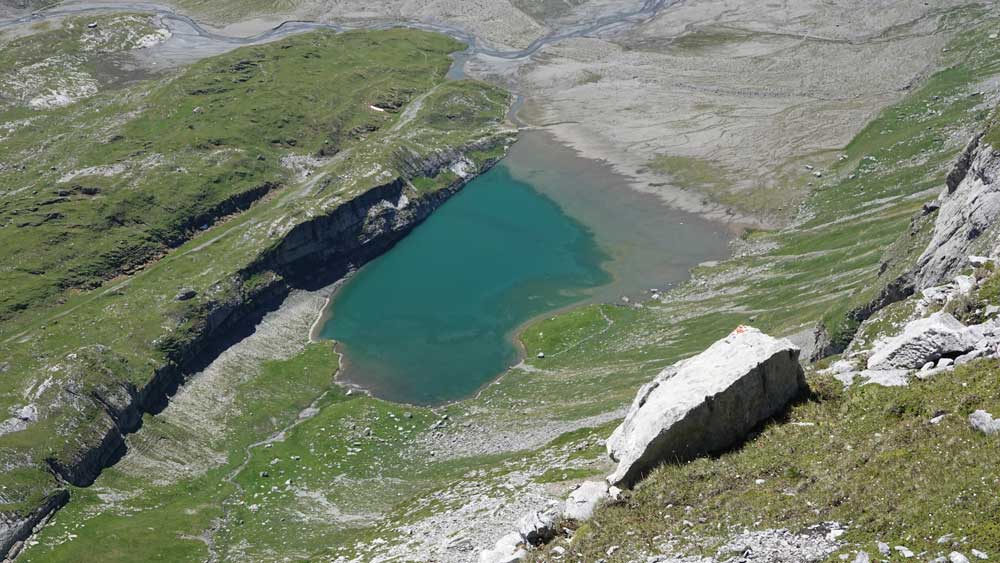
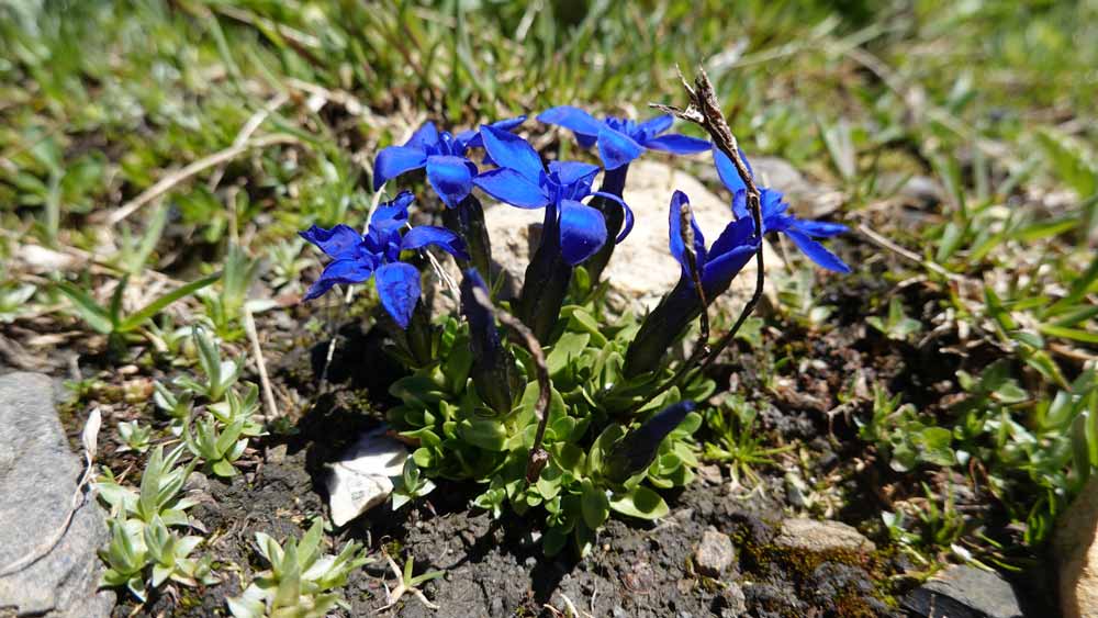
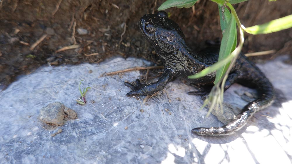
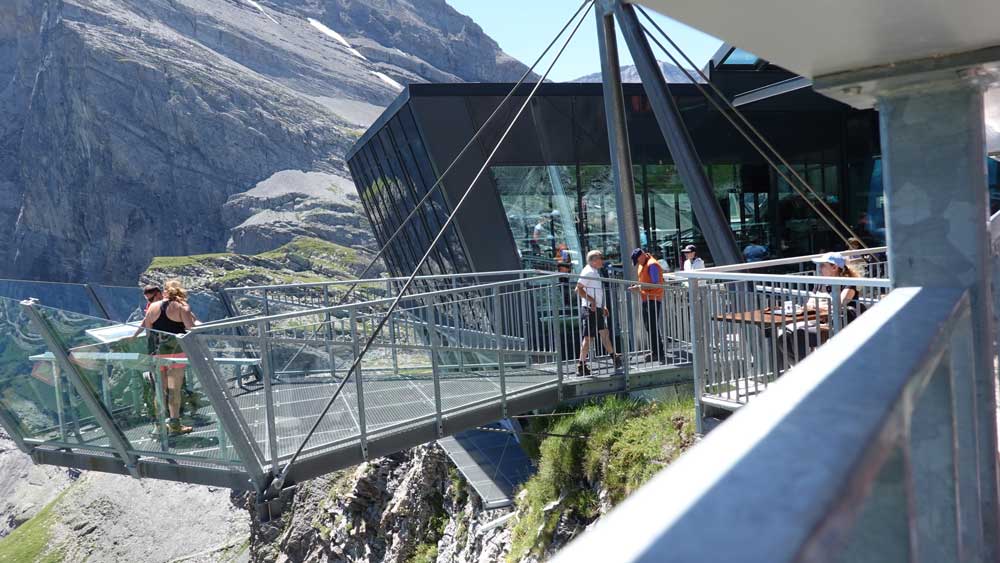
Rejoindre le village de Loèche-les-Bains et prendre les installations jusqu’au point de départ/retour à la Gemmi (2’613’636/1’138’545/2340 m) par le téléphérique. Commencer en foulée légère, en descente, vers le Daubensee sur sa rive gauche. Suivre la montée en direction du col de Rote Chumme et profiter du splendide panorama sauvage qui s’offre à vos yeux. Rejoindre le pt 2562 et bifurquer à 180° en direction du sud-ouest. La traversée du torrent se fait facilement ainsi que la grimpette en direction du Chinbettipass. Pour les plus courageux, le sommet se trouve à env. 70 m au-dessus du col mais attention à l’arrête très surplombante. Personnes sensibles au vide, s’abstenir. La flore est merveilleuse.
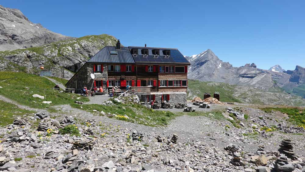
La descente emprunte le même sentier jusqu’au point de bifurcation marqué blanc-bleu-blanc au fond du vallon. Le reste du parcours se fait sans itinéraire précis mais de nombreux kerns marquent le chemin jusqu’au Rote Totz Lücke. Le reste de la descente suit naturellement le vallon avant de rejoindre le sentier qui mène à la cabane de Lämmerhütte. On quitte cet endroit de rêve par un petit sentier qui se faufile au Nord de la cabane, sur les bords du ravin, le long de chaînes disposées en cordes fixes. Le retour sur la Gemmi se fait tout naturellement par la plaine du Lämmerenboden. C’est le plat idéal pour ceux qui en ont encore sous la patte.