Col de la Croix / Bretaye

Location
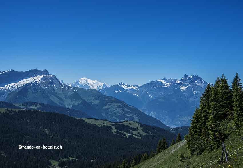
canton of Vaud, between Villars and Les Diablerets

Descriptif
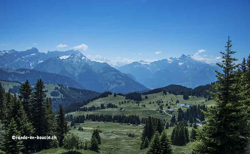
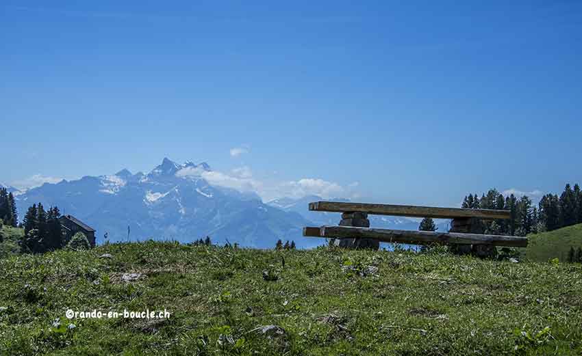
easy hike. No problem. Varied and typical landscapes of the region.

Total length
about 13 km

Walking time
4 hours

Elevation + et –
+/-500 meters

National hiking map 1:50’000
St Maurice 272 T

Best period
May to October

Difficulty
T2 +
Useful information
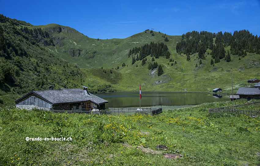
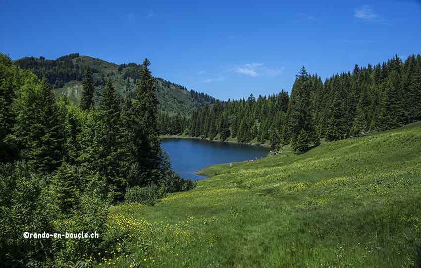
Very nice hike, easy. In the middle of the hike you walk along 3 mountain lakes.
Itinerary
From the car park at the Col de la Croix follow col d’Encrène , Tête de Meilleret, Perche. Once at the top of the Col de l’Encrène, continue to enjoy the 360 ° panorama along the ridge towards the Tête de Meilleret. It is possible to descend directly on Perche but the loop by the head of Meilleret is worth it. Once arrived in Perche, do not follow the road but cut straight through the pasture to reach the point 1795. As in all pastures the path has virtually disappeared due to the presence of livestock. Always take the chairlift pylon as a point of reference. Once down the descent you join a swing gate. go straight up to point 1795. When reaching this point, the path starts right between the two roads that separate into Y. The start of this path is not very marked. Once at Lake Chavonnes enjoy a picnic break. For the continuation continue towards Bretaye, col de s Bretaye and Ensex (attention to join the top of the hamlet), to join your point of departure.