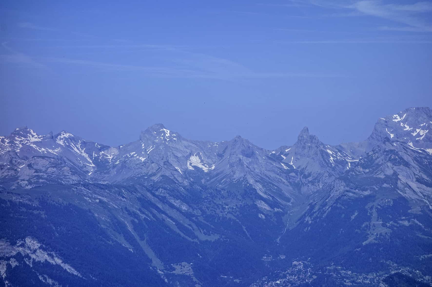
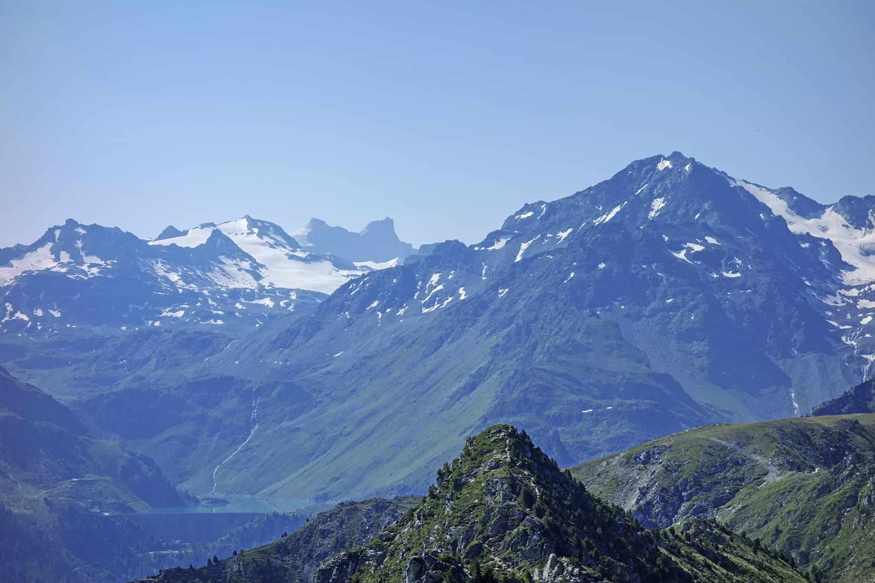
Dent de Nendaz / Le Basso d’Alou

Location
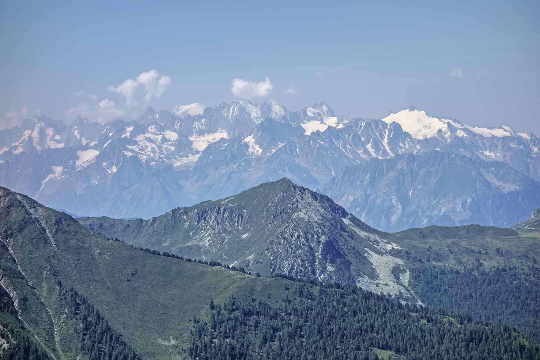
Haute Nendaz above Sion on the left bank of the Rhône

Descriptif
depending on the variant chosen difficult hike. 1st variant shorter from the top of the gondola Tracouet and the second variant from Pracondu following the bisse of Saxon to reach first Basso and then the Dent de Nendaz.

Total length
Alternative 1 about 6 km, Alternative 2 about 12 km

Walking time
Alternative 1 / 3 hours, Alternative 2 / 5 to 6 hours

Elevation + et –
Alternative 1 approx. 550 meters, Alternative 2 approx. 950 meters

National hiking map 1:50’000
Montana 273 T

Best period
from end of May to October (depending on snow conditions)

Difficulty
T3
Useful information
Hiking not recommended for young children and dogs. Some passages that require a secure foot. Inquire about opening hours of the gondola
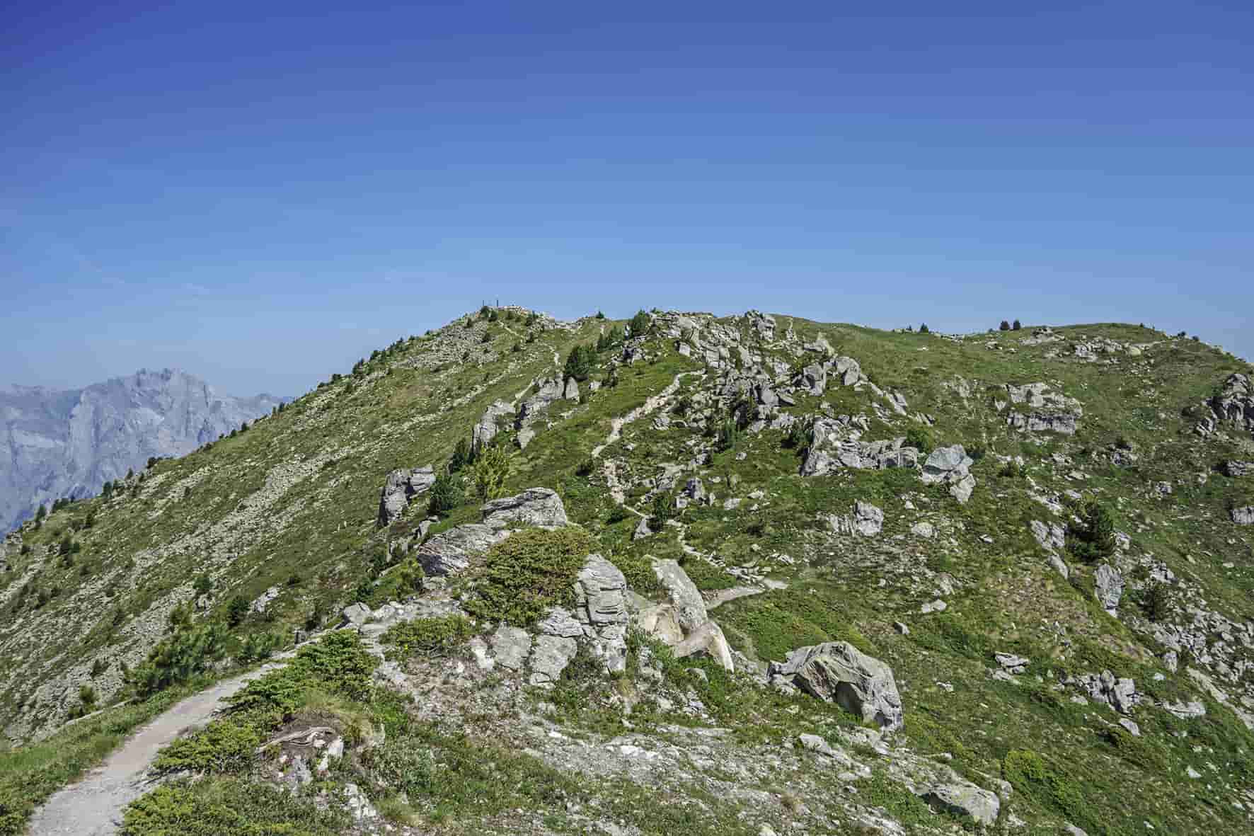
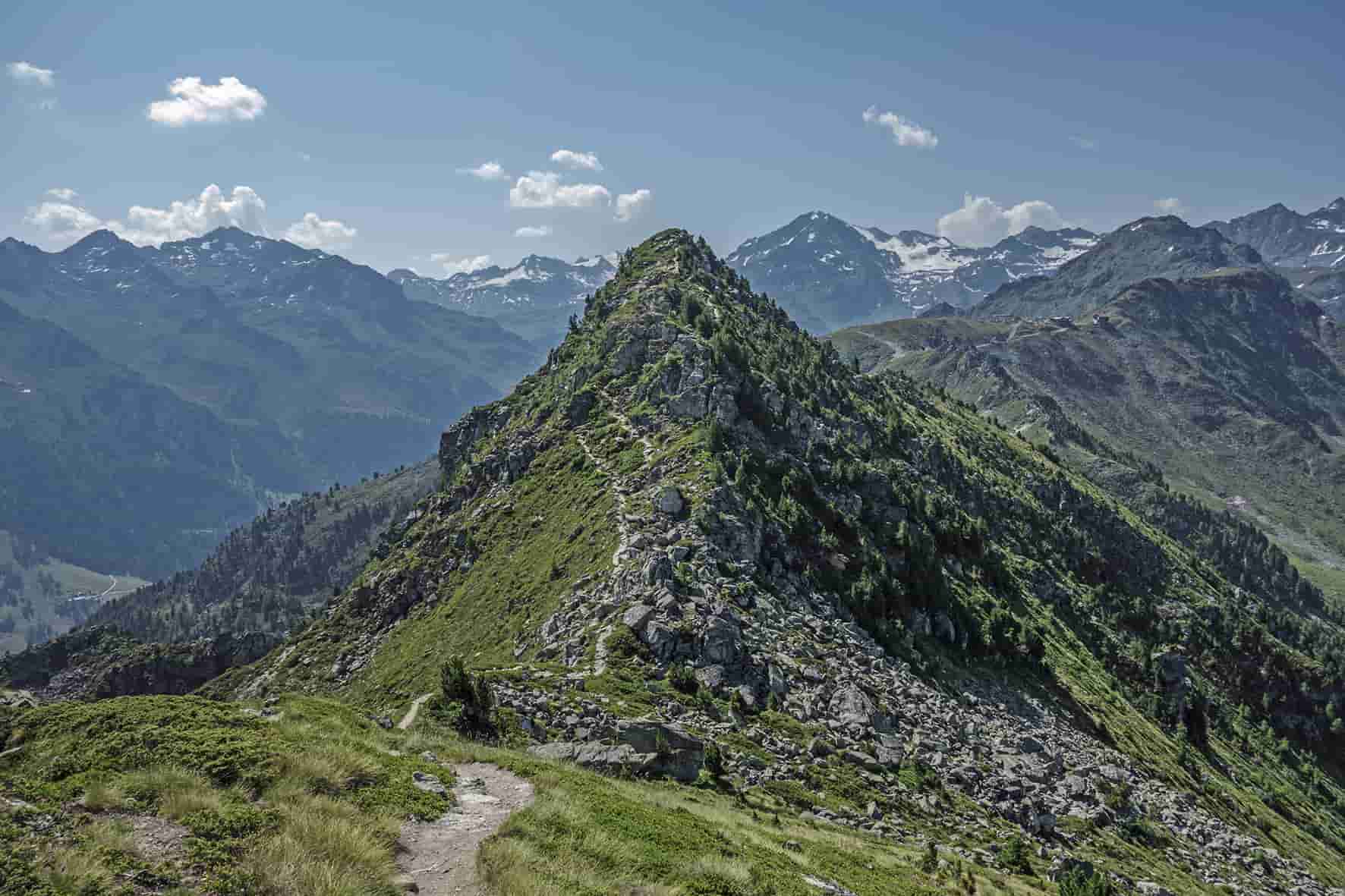
Itinerary
Alternative route 1 (not very difficult)
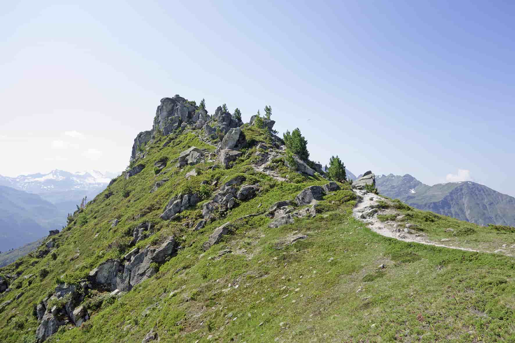
Since the arrival of the gondola Tracouet follow the path to the Dent de Nendaz through the right of Lake Tracouet. Once at the top of the Dent de Nendaz, follow the ridge in a southerly direction to Basso. After rowing 1 hour, the path descends towards Balavaux / Tracouet to reach your starting point.
Alternative route 2 (difficult)
Join Pracondu above the Haute-Nendaz station and then climb up to the Bisse de Saxon and follow it to the East first and then South to Mayens des Eaux (above Planchouet) . From there, climb towards the Basso (550 meters of unevenness on 1.7 km!). Once at the pass head north following the ridge towards the Dent de Nendaz. From the Dent de Nendaz, join Tracouet and descend on Pracondu by the Croix de Jean-Pierre. Once arrived on the Saxon bisse head east to the indication Pracondu, Haute-Nendaz to reach the starting point.