Evolène / les Haudères

Location
Val d’Hérens

Descriptif
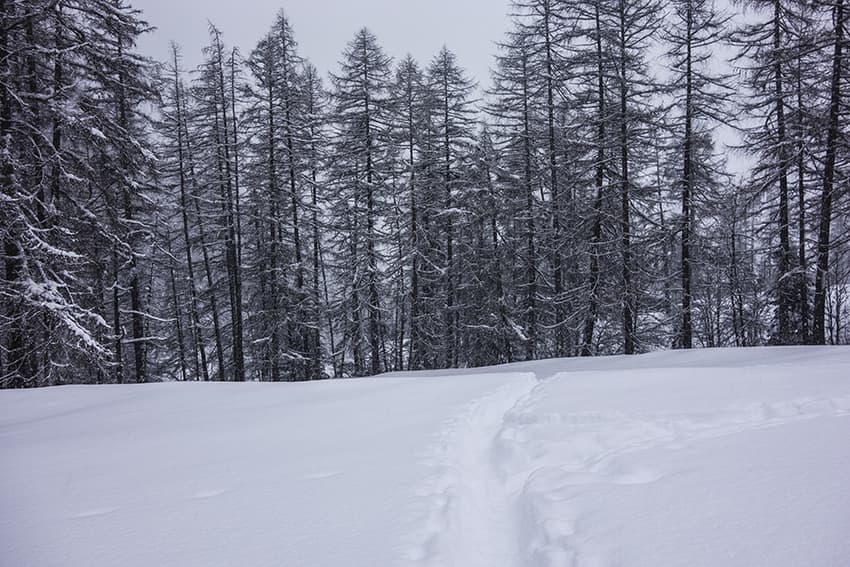
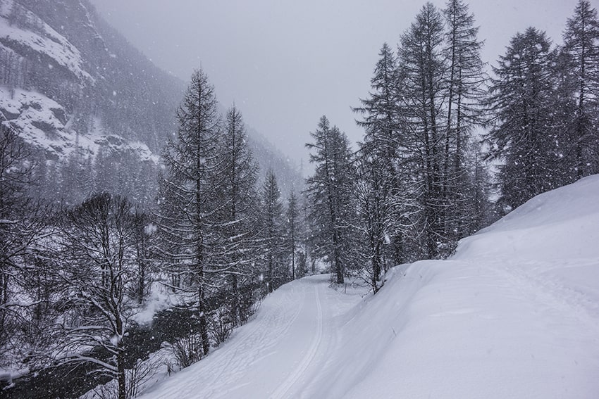
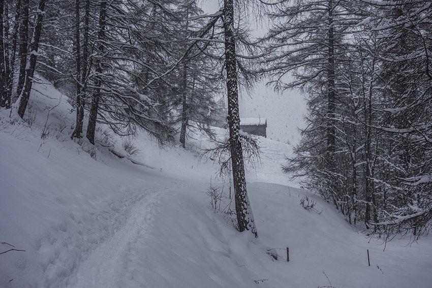
very easy hike, can be walked if it hasn’t snowed too much. As soon as there has been heavy snowfall to be covered in snowshoes.

Total length
about 9 km

Walking time
between 1343 and 1554 meters

Elevation + et –
+/-367 meters
Altitude: between 1343 and 1554 meters

National hiking map 1:50’000
283 T Arolla

Best period
all year round
Lake Tseuzier, Dam Rawil, on the right bank of the Rhone from Sion.

Difficulty
T2
Useful information
Following the bad weather of 2024, the accesses along the river are under construction and in a danger zone. The route does not run along the dangerous accesses.
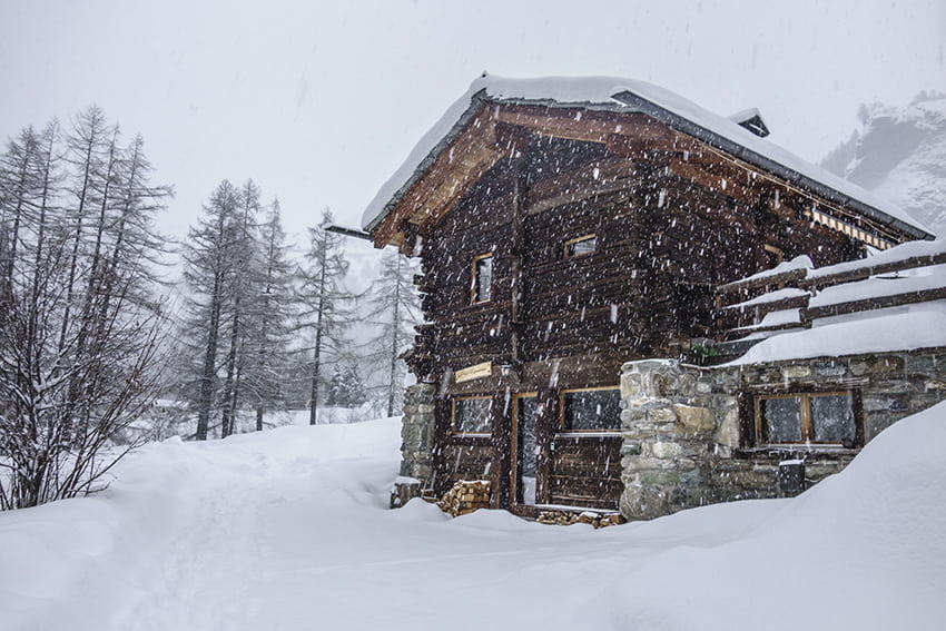
Itinerary
From the restaurant Le Refuge and the school centre car park in Evolène, follow the road south for around 250 metres towards Les Haudères. The route starts on the right with a not very marked path going down to the west towards the river (in winter there is a snowshoe trail sign). Once you reach the flat, head north and join the bridge to cross it. After crossing the Pont de la Borgne, go up the river (south) for around 100 metres, leave the Lotrec road and follow a path uphill towards the forest (west). After a short climb of 200 metres, the path runs alongside and crosses the forest towards Les Haudères for 1.5 km. At the fork, go up towards Bevernec, Les Flaches, Le Pommi until you reach the bridge which crosses the river towards Les Haudères. Go up towards the village by the path of La Lé and follow the direction of La Sage crossing the old village of Haudères to join the path of Foches. Follow this path for about 1 km uphill until the junction “Molignon, La Tour” and follow this direction, first flat and then downhill until the route reaches a hairpin bend (rte de Lagèc). At the hairpin bend, go up towards the chalet, go around it on the left and follow the path towards La Tour. This path joins the path of Perri which joins the path of Vientic in La Tour and then the road of Stand which joins the road of Confraric to follow for about 250 meters. When this road goes down towards the main road, go up slightly to the right, cross the river and continue the path until it joins the main road and follow for 150 meters towards Evolène. Go down to the left towards La Borgne by the Route de la Fauchère and return to the starting point by going back up the path at the start of the hike.