Foggenhorn

Location
Right bank of the Rhône above Brig, Blatten b. Naters, Belalp

Descriptif
very nice hike not too difficult with magnificent panoramas

Total length
variant A: 11 km, variant B: 13 km

Walking time
Variant A approx. 4 hours, variant B 5 to 6 hours

Elevation + et –
variant A +/- 800 meters, variant B +700 meters / -1,600 meters
Altitude: Variant A between 1,968 and 2,579 meters, Variant B between 1,091 and 2,579 meters

National hiking map 1:50’000
264 T Jungfrau and 274 T Visp

Best period
June to October

Difficulty
T3
Useful information
For variants A or B it is strongly recommended to join Blatten b. Naters by post bus because it is relatively complicated to park a private vehicle there. By opting for variant B, Brig is easily reached by postbus from Birgish. There is a very good parking lot at Brig station and relatively inexpensive (CHF 10 .- / day). The localities of Blatten b. Naters and Birgish are very well served by postbus (during the day, one connection every hour).
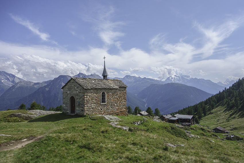
The whole route has the benefit of a very well maintained path. From the top of the Foggenhorn, there is a magnificent panorama of the Valais Alps (Simplon, Mischabels, Matterhorn and Weisshorn mountains) as well as an impressive view of the Mundchi valley and its vertiginous peaks. Heading east, you will discover the Aletsch Glacier (the longest glacier in the Alps).
Itinerary
Departure
Take the cable car from Baltten b. Naters to join Belalp. from the arrival station of the cable car turn left (west) following the signs for Foggenhorn on an unpaved carriage road for about 600 meters. Leave the road following the indications Foggenhorn, Nessjeri to descend towards the Chelchbach river. After crossing the river bridge, go up towards altitude point 2094 and the Bisse de Nessjeri. The route to the Foggenhorn begins at the height of the bisse.
Route
From the bisse, the route begins the long climb towards the Foggenhorn. The route is obvious and it is not possible to go wrong. Once you reach the first peak, follow the ridge to the top of the Foggenhorn at an altitude of 2,569 meters. For the descent continue towards altitude point 2’426 and then descend towards the Bisse de Nessjeri. From the bisse, there are two possible route variants.
Variant A: Join Belalp by going up the bisse (north) to altitude 2028 and fork in the direction of Belalp to reach the starting point.
Variant B: follow the bisse towards Nessel, (direction Birgish, south, altitude point 2’013) and descend to Birgish, crossing a wide variety of landscapes and beautiful plunging views over the Rhone plain (1’000 meters of negative elevation).