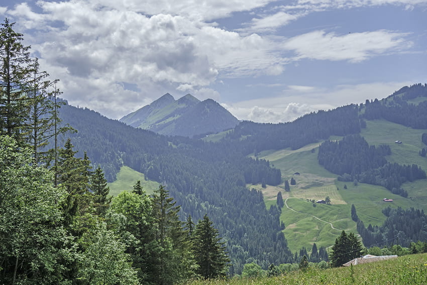
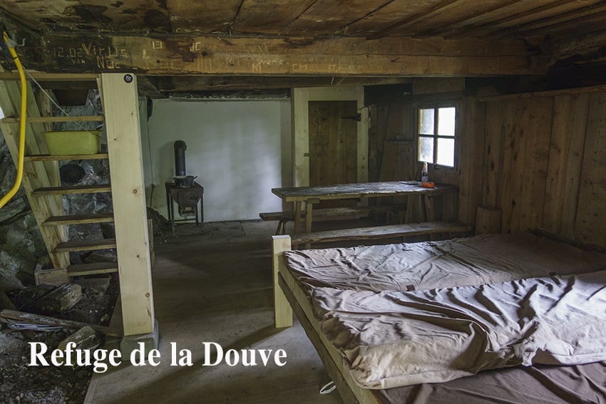
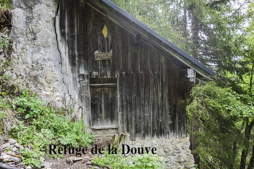
L’Etivaz / Plan de la Douve

Location
Canton of Vaud on the Château-d’Oex side of the Col des Mosses.

Descriptif
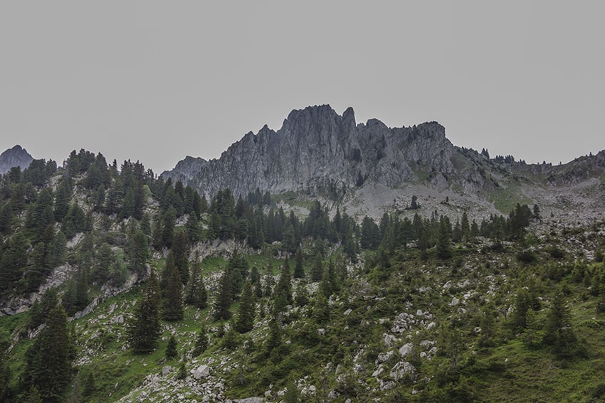
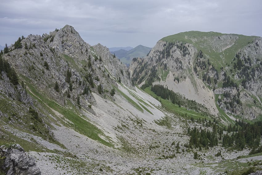
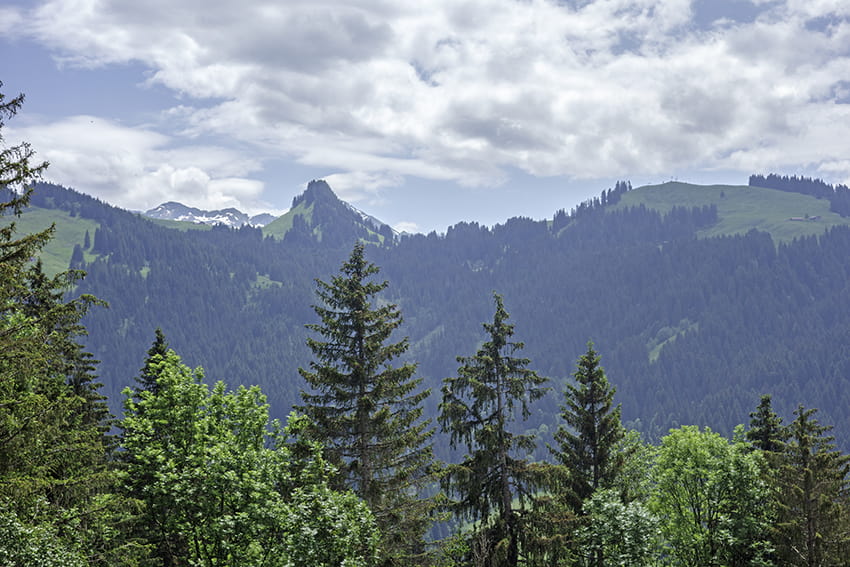
challenging hike. Sustained climb to the Douve refuge and very steady climb from the refuge to Plan de la Douve. Avoid for people prone to vertigo. The first 100 meters of the descent from the Plan de la Douve are very exposed. Do not follow this hike in wet or rainy weather or if there are snowfields on the route.

Total length
about 9 km

Walking time
approx. 4 to 5 hours

Elevation + et –
+/- 932 meters
Altitude: between 1132 and 2007 meters

National hiking map 1:50’000
262 Rochers de Naye

Best period
from late May to October

Difficulty
T3 supported
Useful information
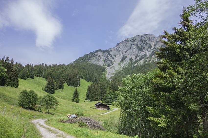
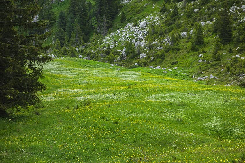
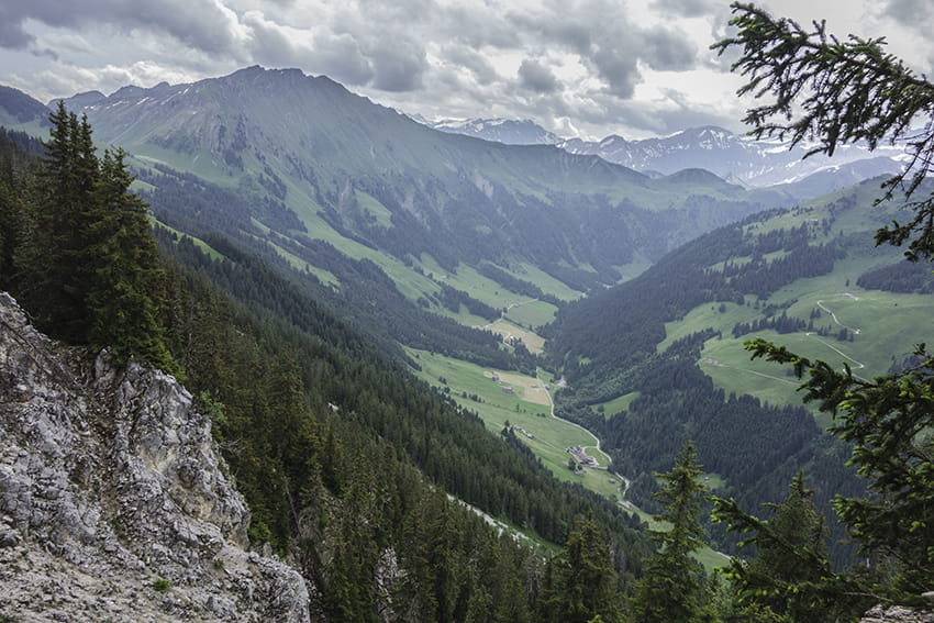
Typical hike of the pre-Alps by its configuration. The climbs and descents are difficult and require sure footing. Walking stick recommended. A picnic is possible at Plan de la Douve and in the valley of the Plan de la Douve descent.
Itinerary
From the center of the village of Etivaz follow “Plan de la Douve”. Sustained climb of about 3 hours. Once in Plan de la Douve, a well-deserved break will allow you to admire the landscape. Descend towards the « col de Base”. After about 200 meters of descent, cut to the left along the North-East foothills of the Coumatta to reach the col de Base directly without going through La Case. From the col de Base always follow the Etivaz downhill and reach the starting point.