Mont Sâla

Location
Jura Vaudois, region Bassins, Arzier

Descriptif
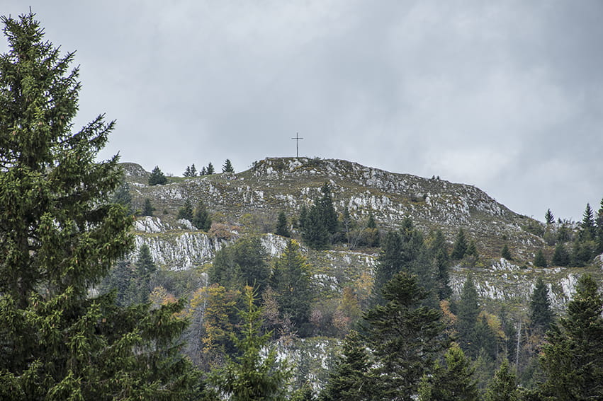
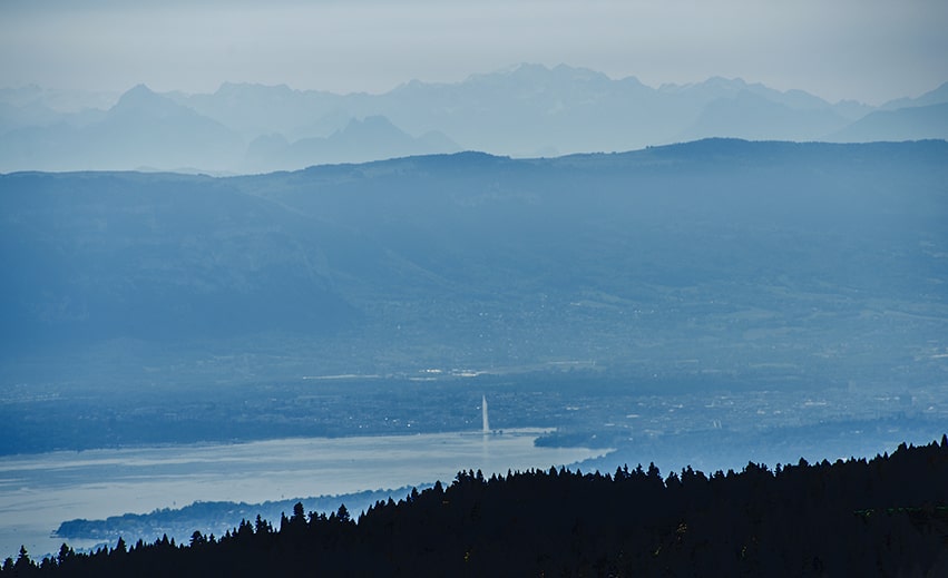
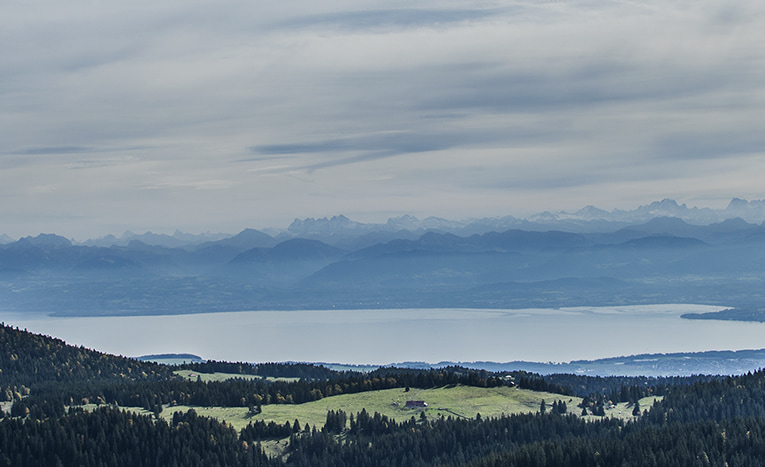
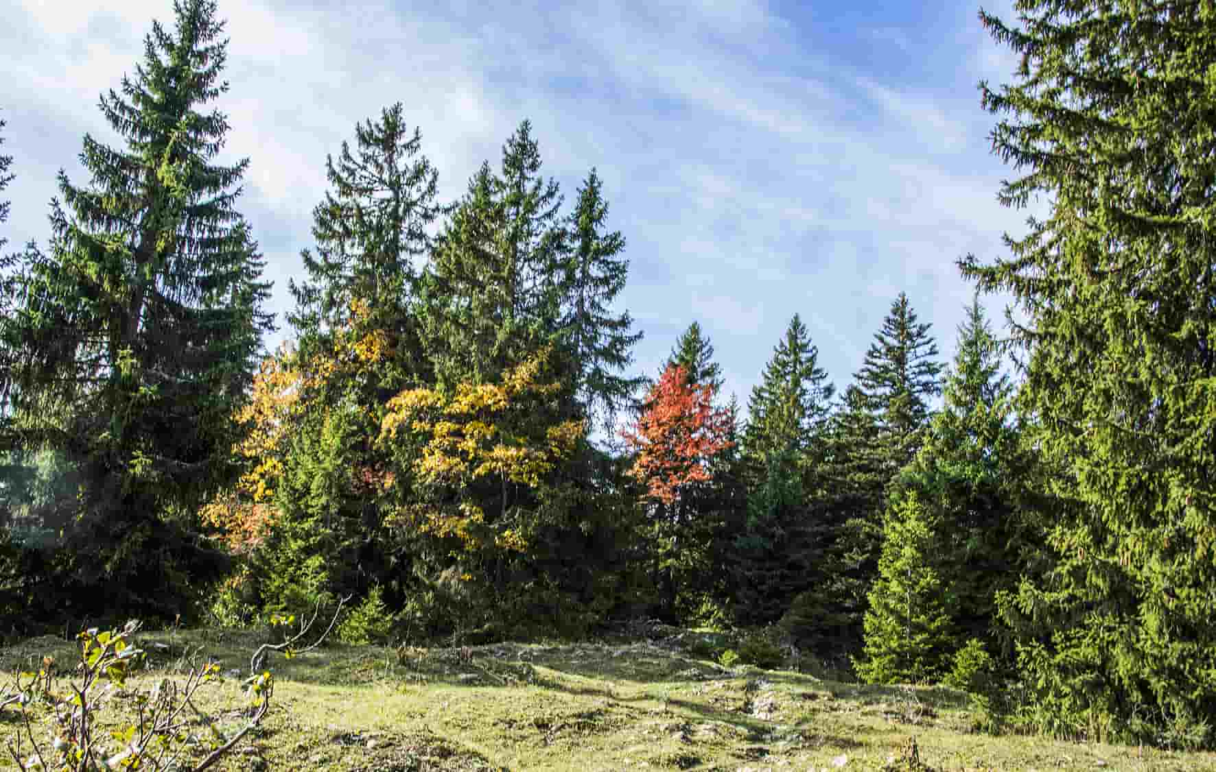
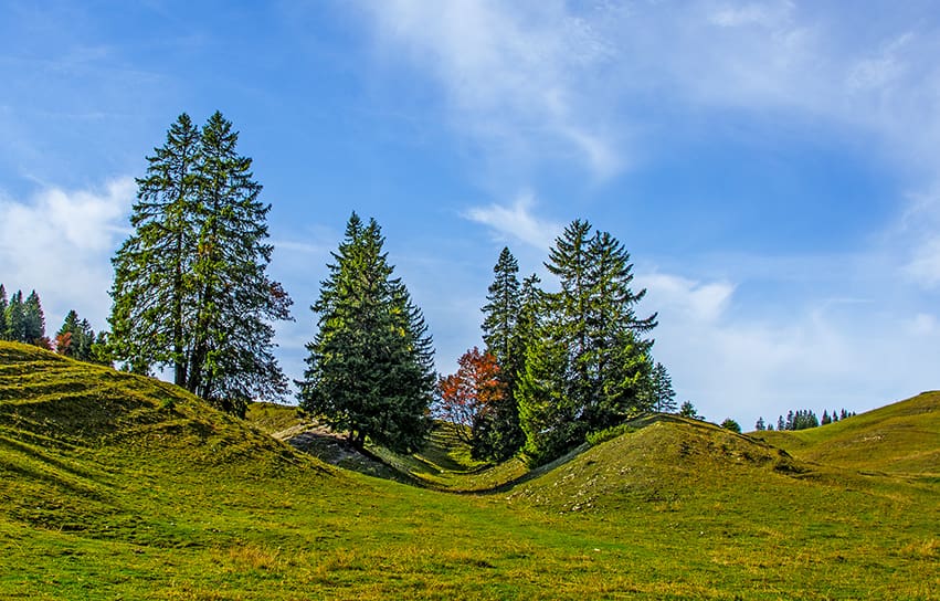
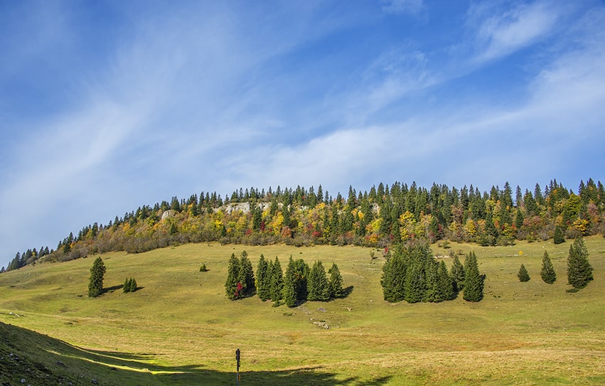
easy hike, typical Jura topography. Magnificent views of Lake Geneva and Geneva’s water jet from the top of Mount Sâla

Total length
about 15 km

Walking time
about 4 hours

Elevation + et –
+/-493 meters
Altitude: between 1250 and 1,550 meters

National hiking map 1:50’000
260 St Cergue

Best period
from March to November, possible to do snowshoes in winter

Difficulty
T2
Useful information
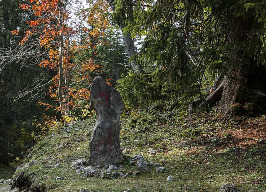
Throughout the course there are many places to hold a picnic. The ascent of Mount Pelé is complicated and without path.
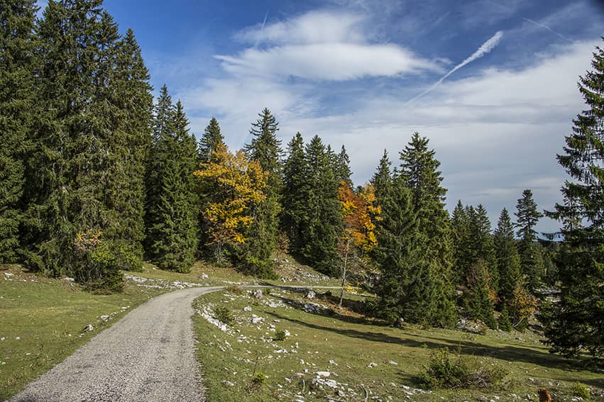
Itinerary
From the village of Bassins, take the route des Montagnes to the chalet des Pralets. 200 meters before the chalet, take a forest road upstream towards the North. Until the top of Mount Sâla the route is obvious and regularly reported. Then follow “Le Croue”, “L’Arzière”. From l’Arzière head east towards the « Marais rouge”. 250 meters after altitude 1319, turn left on a forest road towards the “Bois de la Grande Enne”, there is no indication. Follow to altitude 1298, turn left (indication Les Pralets) to reach the starting point.