Niedergampel

Location
Upper Valais, village of Niedergampel

Descriptif
moderately difficult hike and relatively little run

Total length
about 9 km

Walking time
about 4 hours

Elevation + et –
+/- 700 meters
Altitude: between 651 and 1084 meters

National hiking map 1:50’000
274 Visp

Best period
in spring or fall. During the summer, the temperature is scorching in this region.

Difficulty
T3
Useful information
Nice hike with some pretty steep climbs and some tricky downhill sections. In the middle of summer, the temperature can be scorching.
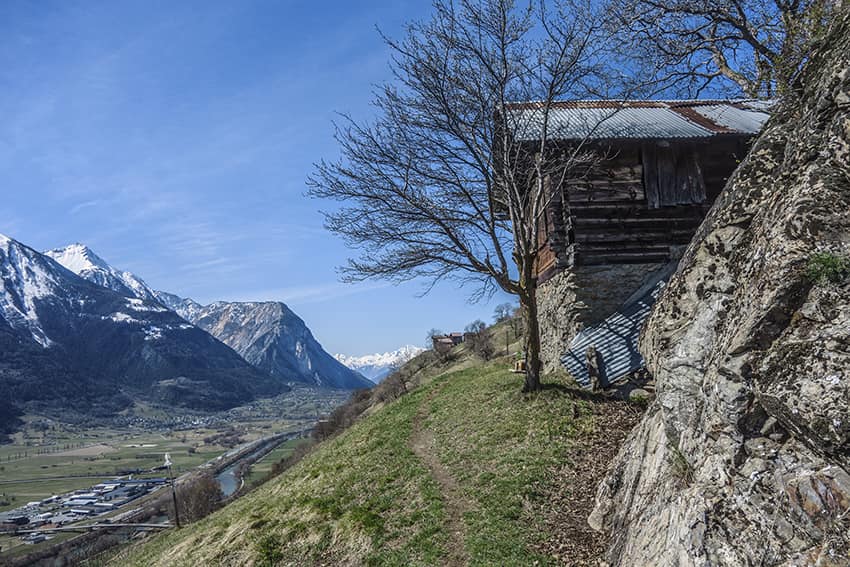
Itinerary
On leaving the village of Niedergampel (heading east,near the Burketen, Gampel bus stop), follow the river on the Kalkofen road until the start of the hike. There are a few parking spaces at the top of the road. Start by crossing the river bridge in an easterly direction and follow an uphill agricultural road to the top of the vines (3 hairpins). Then follow the path which crosses a small forest and some sheep pastures (close the gates of the barriers). Follow the route to a place called “Chimatta”. Take the fork in the direction of Gampel (East) and follow the route to the cross at altitude point 875. Continue towards Jeitzinen following the road until altitude 1021 (second cross). Continue by the road until the next hairpin bend (elevation point 1054) and follow a not very marked path that starts at the bend in the direction of the East. This path crosses a magnificent forest of Scots pines, oaks and deciduous trees. After walking on the hillside for about 500 meters, the route begins the descent with some tricky passages (a ladder, trekking poles recommended and sure feet). At the end of the descent, the route joins the bisse Obere Wasserleiter. Follow to the chapel and then continue towards Niedergampel via the Obere Wasserleiter. Once at the top of the vines, follow the agricultural road to the first bend and continue towards Niedergampel to reach the starting point.