Vully / Historic Trail

Location
Lake Murten, commune of Sugiez

Descriptif
easy hike, discovering historic fortifications dating from the Helvetian times, medieval times and the First World War. Ideal to travel with children.

Total length
about 10 km

Walking time
approx. 3 hours

Elevation + et –
+/-400 meters

National hiking map 1:50’000
242 Avenches

Best period
all year

Difficulty
T2
Useful information
General indications « sentier historique 268).
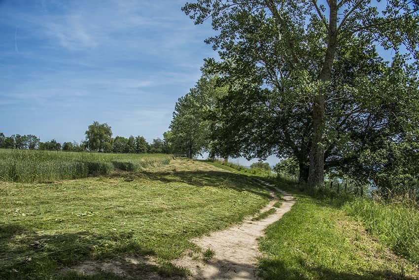
Itinerary
The ideal start is at Nant (commune of Sugiez) and starts at the route du cimetière. Follow the road towards the vineyard to join the road of Etrey. Turn left and fork on the road to Vau de Nant and then follow Chemin des Crosats until the indication « Tour des Sarrasins”. Walk along the vineyards and the forest on the route (268). After visiting the Tour des Sarrasins and retracing these steps to resume the route of the loop, leaving the forest, cross a field and join a road to follow straight on until the second junction. Turn left and follow the signs for pedestrian paths, first along a road and then through a forest road. At the exit of the forest follow the road on the right to join a prehistoric reconstruction of fortifications built by the Helvetians. Continue straight to a large car park to cross the North and take a path that crosses a playground and along the military road. Then follow the fields and the forest by the path Fontanettes (direction East) towards the Pierre Agassiz and Palais Roulant. Continue towards Rita Road. Cross this road to follow on approx. 100 meters the path of the vieille laiterie and then a forest path on the right of this path. This forest path joins military fortifications. Then follow the indications for footpaths and routes 268. After the Vully bar the path descends by the steps, at the end of these steps, do not follow the path straight ahead but fork off a forest path (not very mark) to the left of the route to cross the forest and join the Vully vineyard. Climb the vineyards west along the forest to the starting point.