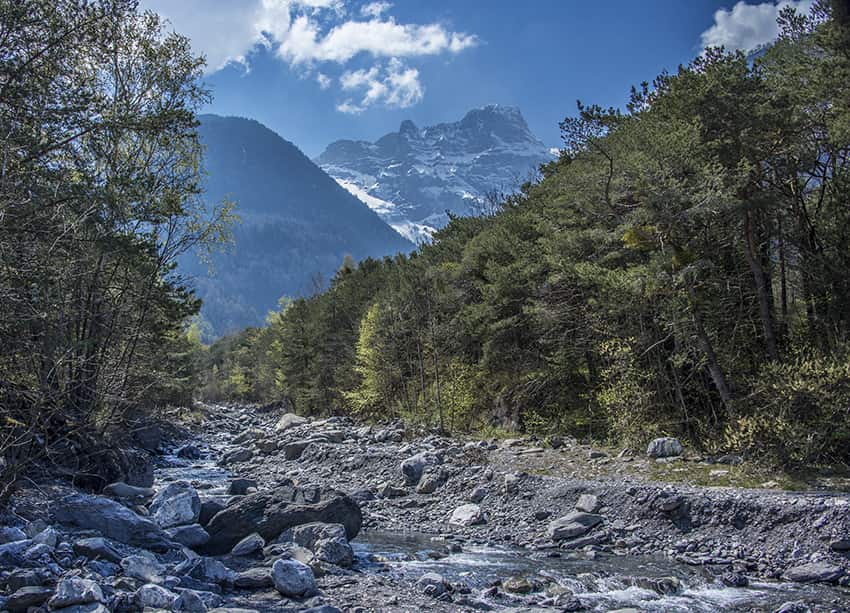
Bois Noir / Epinassey

Location
Epinassey near St Maurice (VS)

Descriptif
moderately difficult hike and relatively little run

Total length
about 6 km

Walking time
about 2 hours

Elevation + et –
+/- 331 meters
Altitude: between 448 and 741 meters

National hiking map 1:50’000
272 T St Maurice

Best period
Practicable all year round. In winter, not very sunny hike

Difficulty
T2+
Useful information
The route passes through forests that are home to wildlife. With luck you will come across deer. The first part of the route is steep uphill. The descent to Plan-Bourron and La Rasse is steep. Shoes with good soles and walking poles recommended. Itinerary not recommended in wet and / or rainy weather. From La Rasse there are many places to organize a picnic. Always follow the orange marking “Espace Bois Noir”.
Itinerary
From the car park in the middle of the Chemin de Capenu à Epinassey, follow the road towards Epinassey (northeast) until the main road that crosses the village (rte d’Epinassey). Follow this road downhill towards St. Maurice for 600 meters. At altitude point 449, turn left onto an unpaved road towards the rock faces overlooking Epinassey. After following this road for 100 meters, there is the first sign describing the route. Follow the orange route “Espace Bois Noir”. This route crosses several times the motorable road which joins Mex. When you reach this carriage road for the 6th time and after having followed it for 250 meters, follow the orange markings downhill towards Plan Bourron, La Rasse. Always follow the orange markings until you reach the road that follows the high voltage lines. Follow this road in the direction of St Maurice, straight on for 600 meters and fork to the right following a forest path (direction Lavey-les-Bains). Always follow the orange markings to retrace these steps towards the car park on the road to Capenu.
Practical information.