Audannes hut

Location
Anzère, on the right bank of the Rhone above Sion

Descriptif
difficult hike with a lot of negative elevation and delicate passages requiring a secure foot and not be subject to vertigo.

Total length
about 16 km

Walking time
5 to 6 hours

Elevation + et –
Positive difference in height: approx. 600 meters
Negative altitude difference: approx. 1’400 meters

National hiking map 1:50’000
273 T Montana

Best period
mid-June (depending on snowmelt) to October

Difficulty
T3+
Useful information
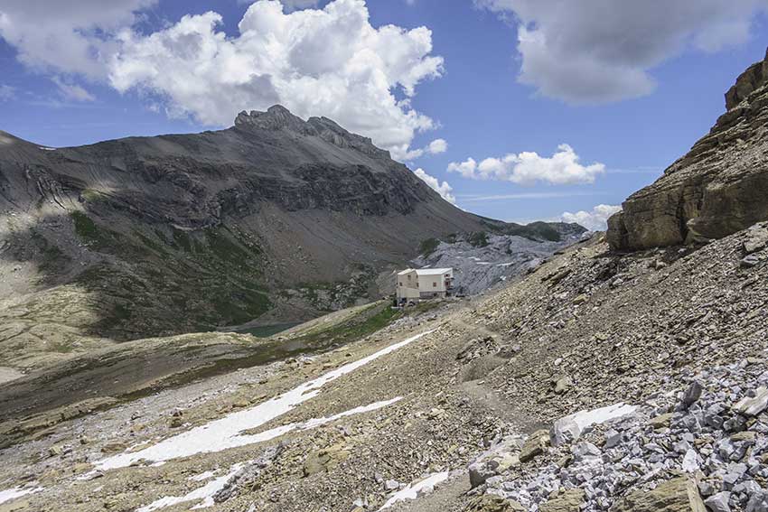
The hut of Audannes is the perfect place for the lunch break.
Itinerary
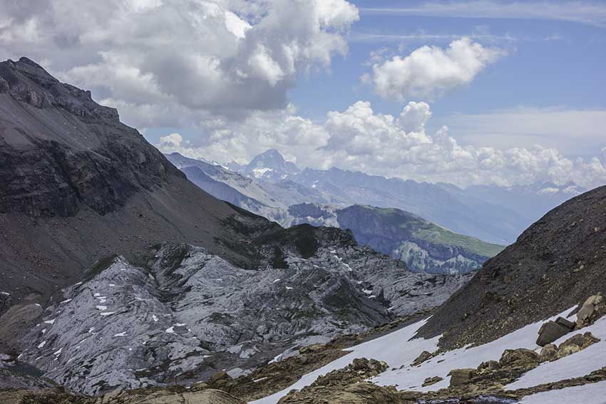
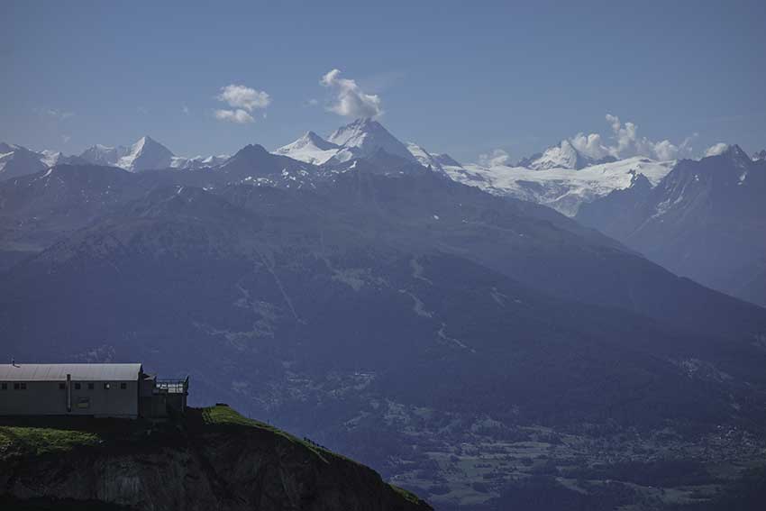
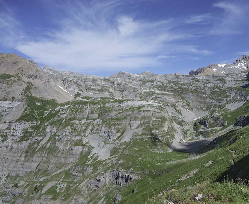
From the top of the gondola Anzère, take the direction Pas de Maimbré. After passing ladders, the path runs along the western faces of Chamossaire, La Motte and Sex Rouge until La Selle, which is the highest point of the route. Go down towards the Audannes hut, paying attention to the signs (cairns, indicator stakes) if there are still snowfields covering the path. The descent from the Audannes hut is difficult by the Combes des Andins and spectacular if you follow the Chemin de la conduite that crosses the western face of the Pointe d’Hérémence. For this last variant, there is absolutely no need to have the slightest suspicion regarding the control of vertigo. Whatever the chosen variant, the paths come together. Always follow the direction Serin, Anzère. When you join the Grillesses, follow the Bisse de Sion rather than the road.