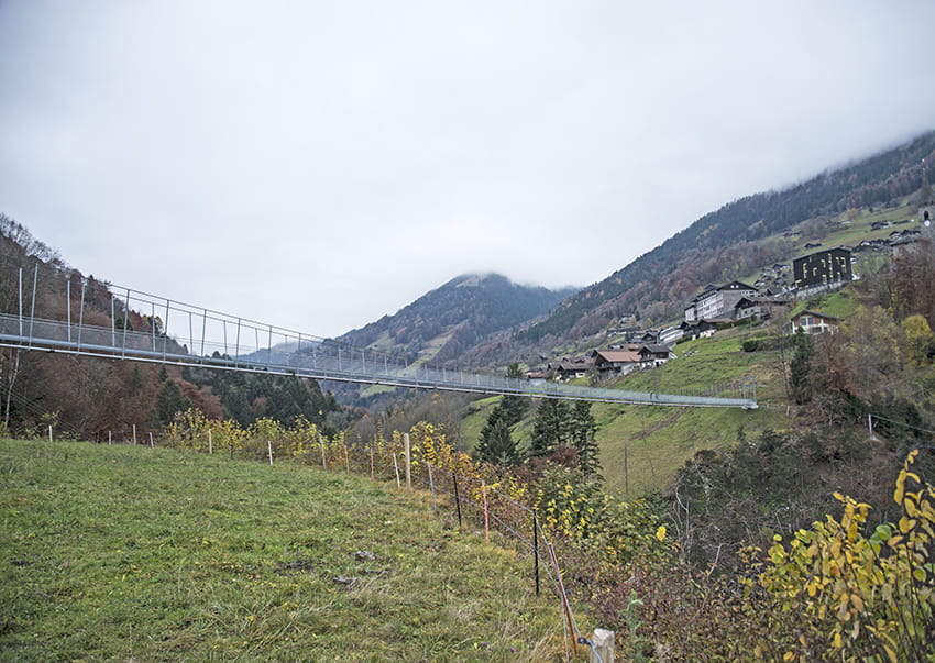
Suspension Bridge Chenarlier – Troitorrents Location Troistorrents above Monthey Descriptif – Total length about 2,5 km Walking time about 1 hours Elevation + et – +/-230 meters Altitude: about 700 meters Bridge length and height: 185 meters / 75 meters...
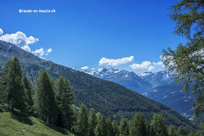
Chandolin / Grande Remointze Location Val d’Anniviers above Sierre, left bank of the Rhône Descriptif hiking not very difficult. No problem. Magnificent panorama of the Bernese Alps and the Matterhorn, the Dent Blanche, etc. Total length about 8 km Walking time 3 to...
Chasseral Location Canton of Bern, Jura Switzerland above Lake Biel Descriptif easy hike. No problem. Varied and typical landscapes of the region. Total length about 12 km Walking time 3 to 4 hours Elevation + et – +/-500 meters National hiking map 1:50’000 232...
Col de la Croix / Bretaye Location canton of Vaud, between Villars and Les Diablerets Descriptif easy hike. No problem. Varied and typical landscapes of the region. Total length about 13 km Walking time 4 hours Elevation + et – +/-500 meters National hiking map...
Eggen Egga Eggen Location canton of Valais in the Germanic part on the right bank of the Rhône above Visp. Descriptif easy hike to discover a magnificent region between green meadows, deciduous and coniferous forest and typical hamlet with century-old raccards burned...
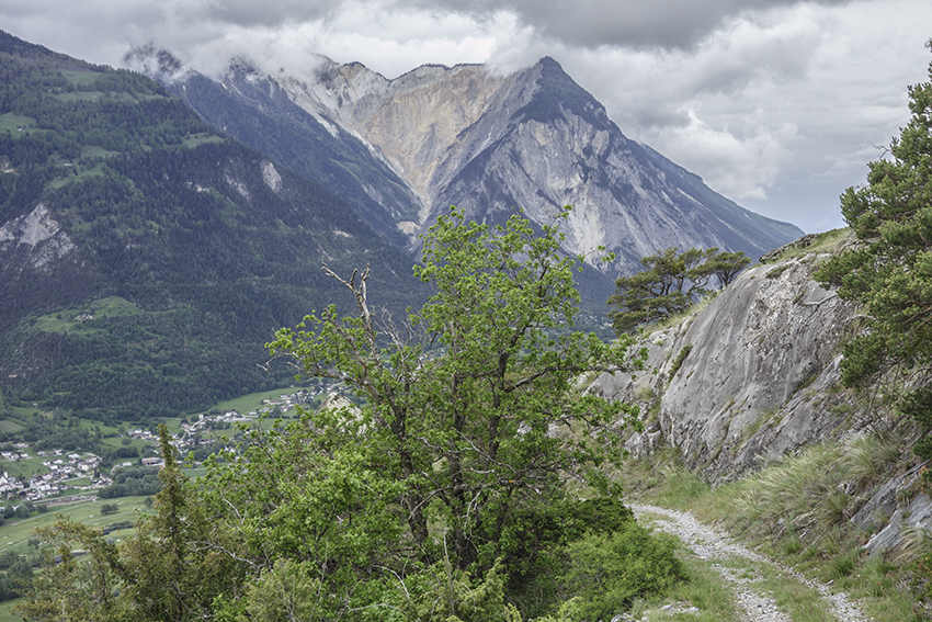
Erschmatt Location Haut-Valais, right bank of the Rhône after and above Leuk – town Descriptif Not too difficult hike which takes place in a dry environment typical of the Rhône valley Total length about 8 km Walking time about 3 hours Elevation + et – +/- 463...