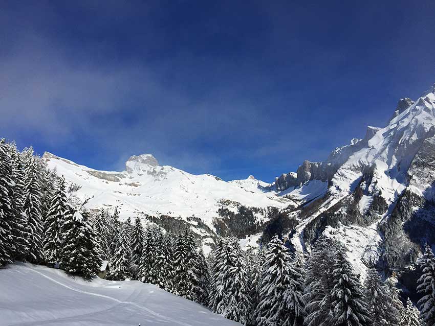
Mayens de My

Location
Conthey, vallée de la Morge, Mayens de My, on the right bank of the Rhône

Descriptif
hiking not difficult, without indication of route

Total length
about 11 km

Walking time
about 3 to 4 hours

Elevation + et –
+/-600 meters

National hiking map 1:50’000
273 Montana

Best period
in winter, good snow conditions.

Difficulty
T2
Useful information
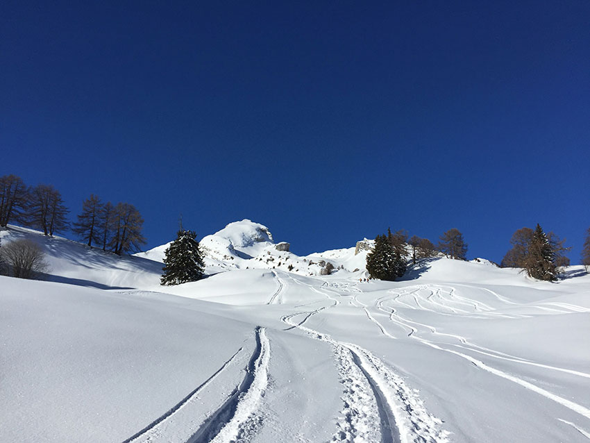
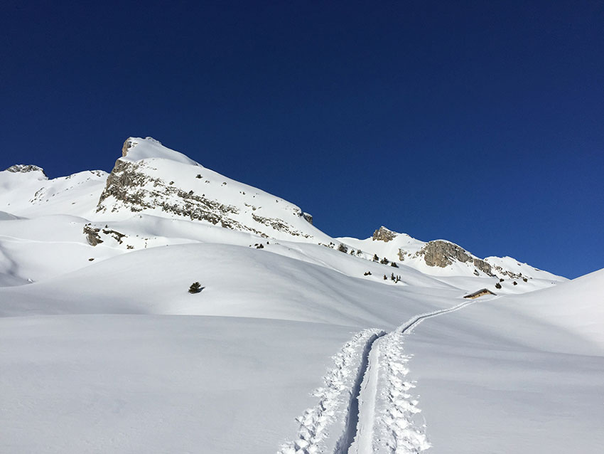
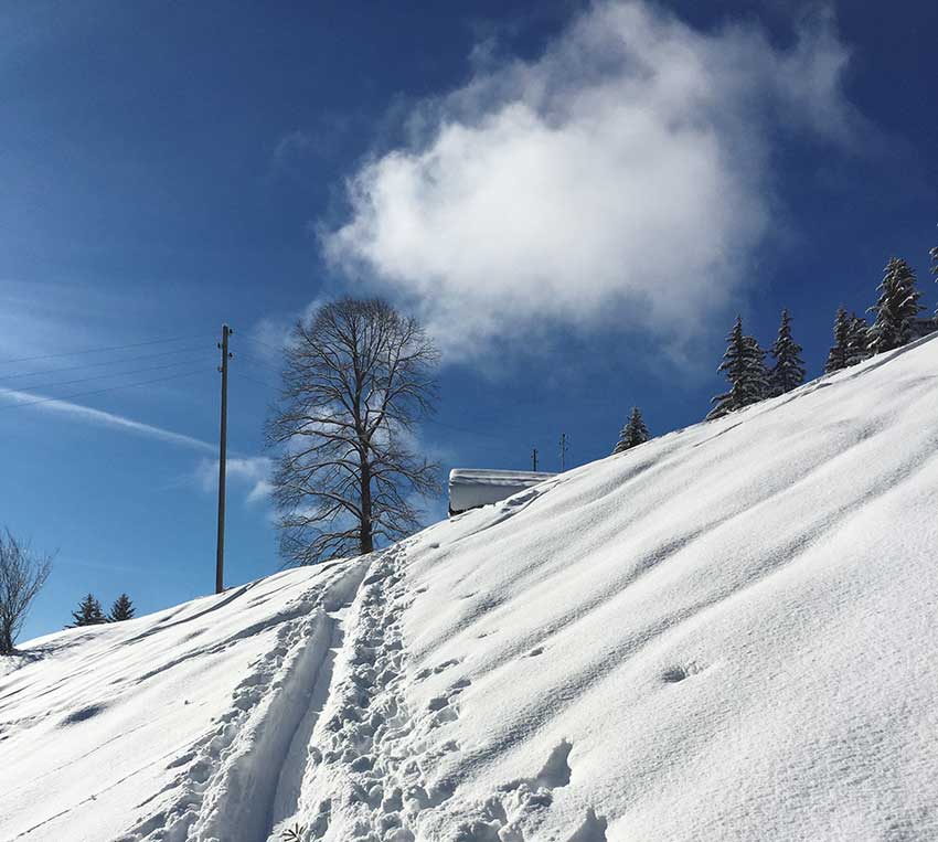
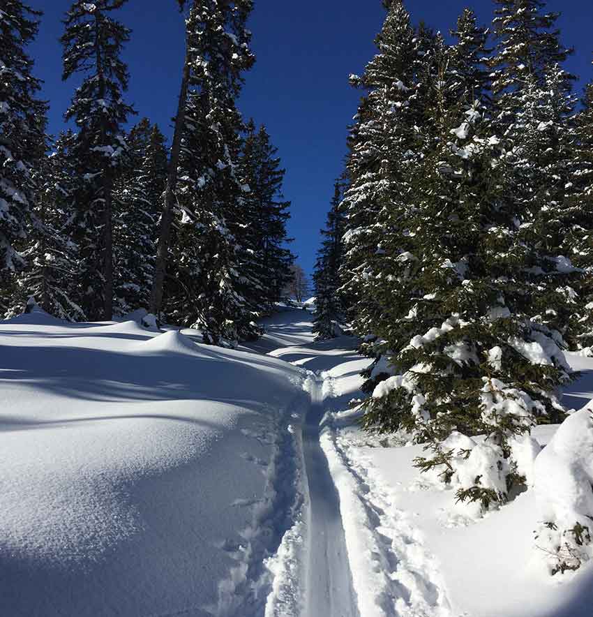
Very beautiful winter hike. The access road can be closed in case of avalanche danger. This route does not have signs. Generally you will just follow the existing traces. It can go both ways. Can also travel in summer. In winter there is no public transport.
Itinerary
After crossing Pomeiron, (last village of the town of Conthey) follow the road towards Sanetsch until a large car park, which is also the end of the road in winter. From the car park, walk down approximately 300 meters to take a forest road (snow) uphill of the main road. Follow this road until you reach the Petit Bisse de la Tsandra. The road is dead end, the path crosses the bisse (do not follow Plan Cernet) and continues uphill through a forest path to the Esserts and and joins a snowy road that goes up towards the forest of Esserts. At point 1791, turn left (West) towards point 1843 and exit the forest. Once out of the forest, follow the direction (North-East) of the “Plan des Larzes” (point 1905) and then left (West) towards the stables of the Alp du Pointet (point 1946). For the return, go down towards points 1875 and 1843, and cross the forest of Plapon to the place said of the same name. The route joins the uphill road and at the junction with another road, follow in the direction of the East for 300 meters and then descend straight towards point 1489 which joins a road. Follow this road downhill for about 1 km. About ten meters after the 3rd hairpin, follow the Petit bisse de la Tsandra uphill of the road. After about 2 km, the bisse reaches the top of the road taken at the beginning of the route to return to the starting point.