Mont de l’Arpille

Localisation
Col de la Forclaz, au-dessus de Martigny

Descriptif
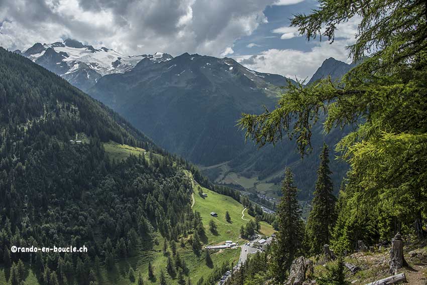
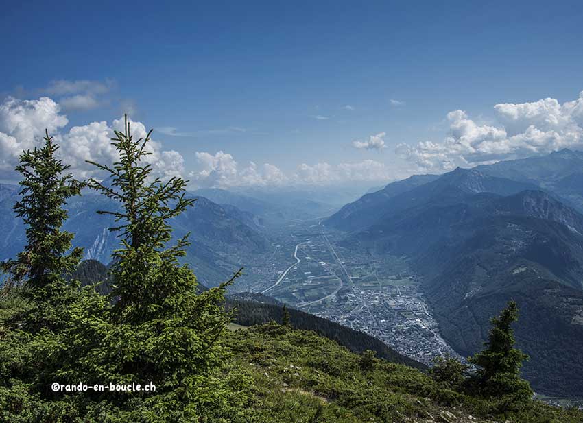
Randonnée pas très difficile, avec un magnifique panorama à 360° sur les Alpes vaudoises, bernoises, valaisannes et le massif du Mont Blanc.

Longueur totale
Environ 6,5 km

Temps de parcours
Environ 3 heures

Dénivelé + et –
Environ +/- 500 mètres
Altitude : entre 1’468 et 2’591 mètres

Carte nationale d’excursion 1:50’000
St Maurice 272

Meilleure période
D’avril à novembre

Cotation
T3
Informations pratiques
Il y a de nombreuses occasions d’organiser un pique-nique au sommet du Mont de l’Arpille. Nous trouvons que le chemin de descente par le versant est est plus confortable (sens contraire de l’itinéraire officiel).
Itinéraire
Depuis le col de la Forclaz, suivre le chemin qui débute à gauche 50 mètres avant le sommet du col sur le versant de Martigny. Après quelques dizaines de mètres de montée, vous avez le panneau descriptif de la randonnée et 10 minutes encore de montée vous arrivez à une bifurcation. A gauche pour la « gouille verte » à droite « mont d’Arpille ». Les deux itinéraires vont au sommet. Par la gauche (versant ouest) vous serez toujours dans l’agréable fraîcheur de la forêt. L’itinéraire officiel passe par la droite (versant est). Vous serez beaucoup plus au soleil et même en plein « cagnard » pour la dernière pente très raide ! Si vous êtes un peu sujet au vertige, il est préférable d’emprunter l’itinéraire officiel par la droite (versant est), c’est toujours plus facile de randonner en montée lorsqu’il y a des passages un peu aérien. Une fois au sommet, vous aurez tout loisir d’apprécier le magnifique panorama à 360°.