Trient / col de Balme

Location
Commune of Trient after the Forclaz pass above Martigny

Descriptif
difficult hike, very steep climbs and descents

Total length
about 12 km

Walking time
about 5 to 6 hours

Elevation + et –
+/-1100 meters

National hiking map 1:50’000
282 Martigny

Best period
June to October (depending on the snow cover)

Difficulty
T3
Useful information
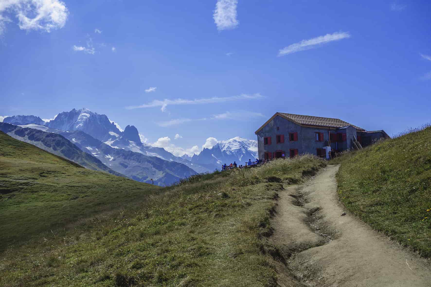
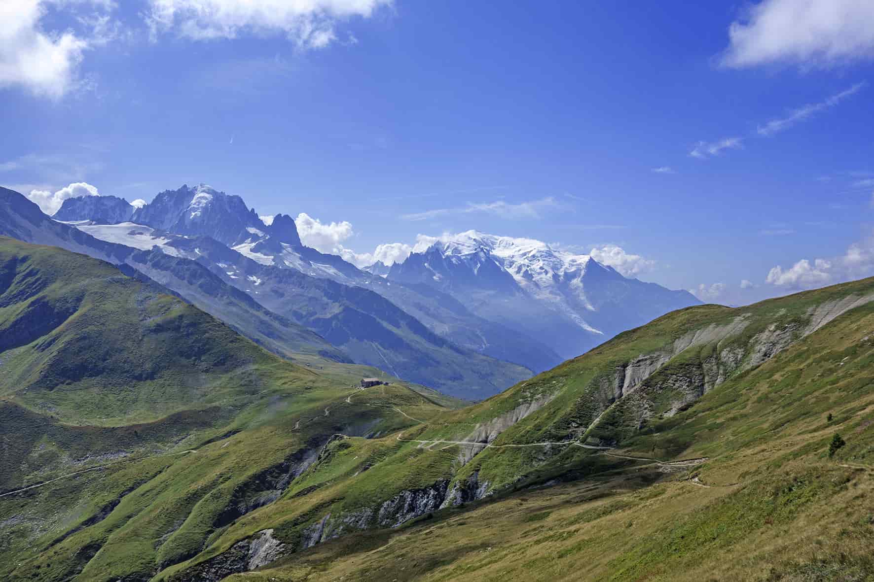
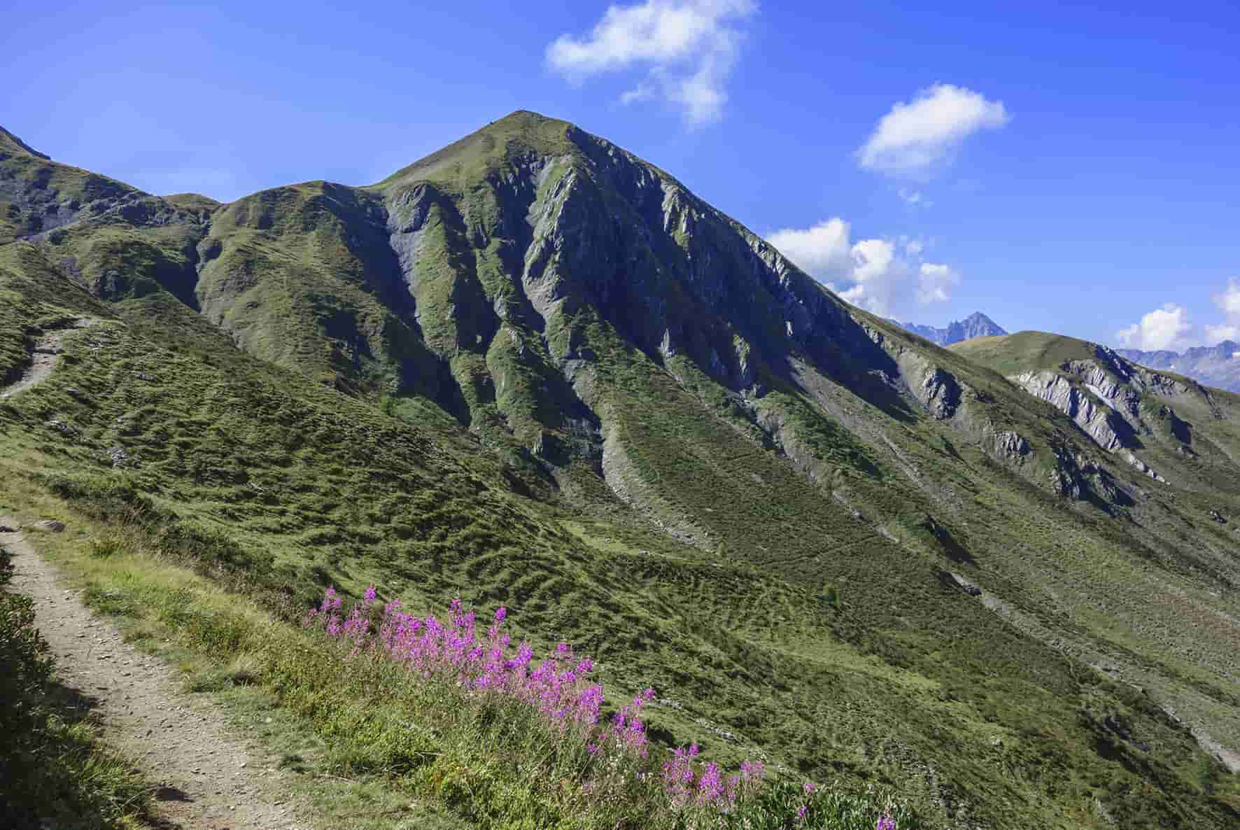
The route described passes through the Tseppes and Pas des Moutons and to avoid the crowds of hikers of the Tour du Mont Blanc who take the direct route to the Col de Balme from Le Peuty. Very nice hike with two peaks to reach (La Croix de Fer and Aiguillette).
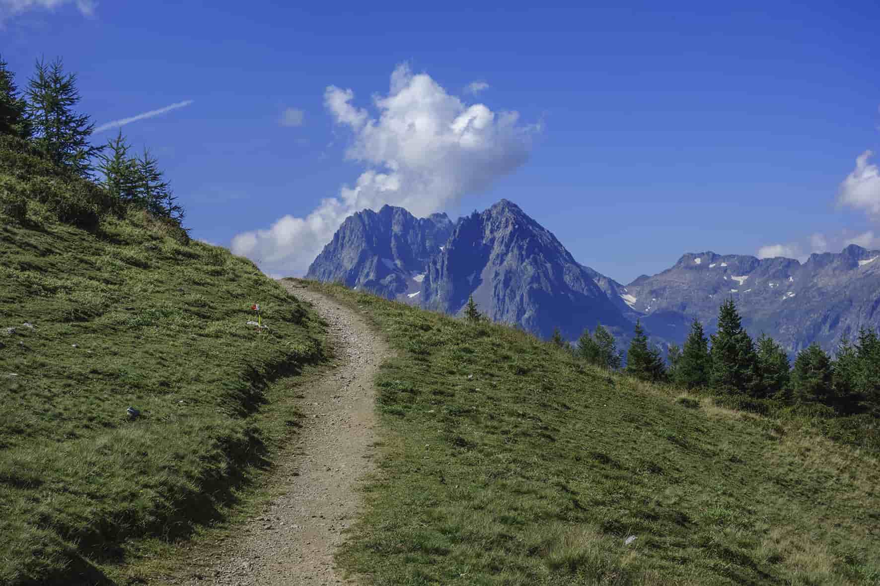
Itinerary
From Le Peuty (commune of Trient), the route is indicated in front of the Le Peuty refuge. Follow Col de Balme, Les Herbagères for 100 meters and then turn right towards Les Tseppes.
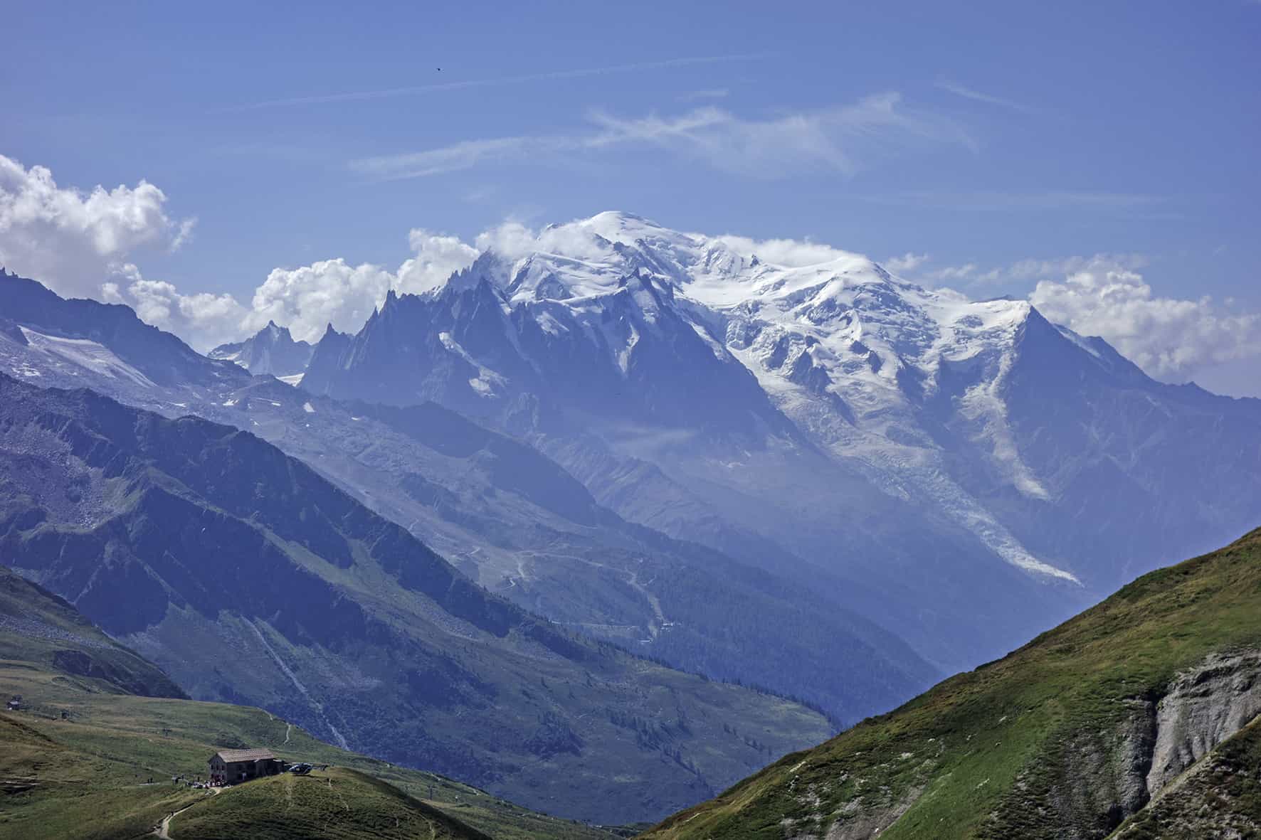
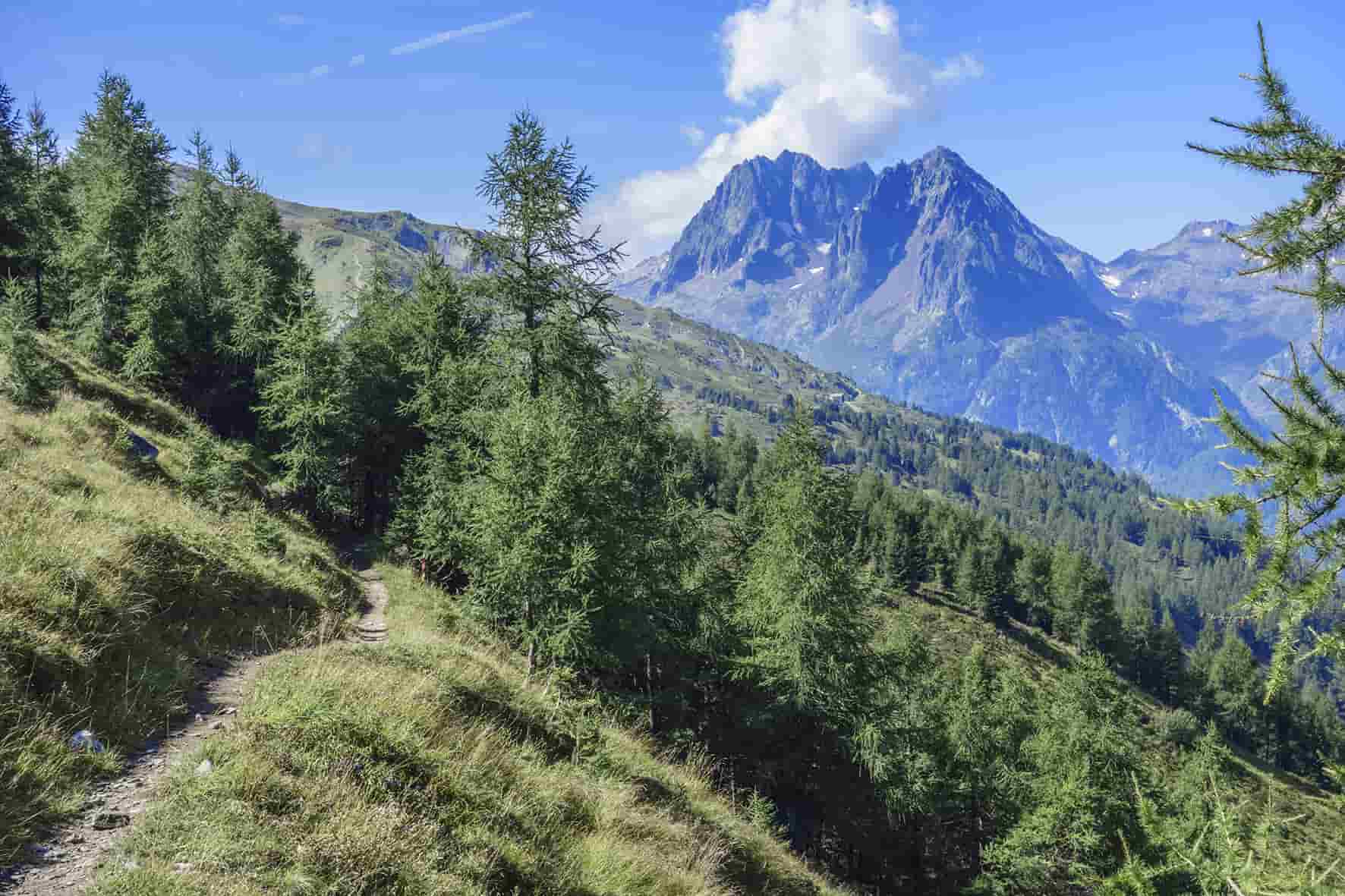
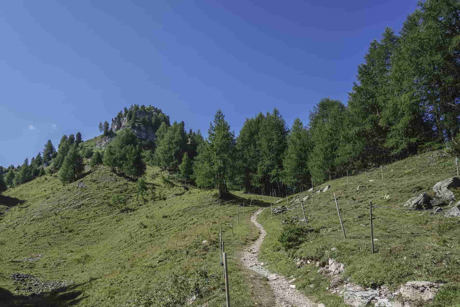
Then follow the Pas des Moutons and follow the western slopes of the Pointe du Van and the Croix de Fer. After about 1 km, the path forks for Col de Balme via Vallorcine or via Arolette. Follow Arolette. Once at the pass, climb towards the Croix de Fer to admire the panorama. To reach the Col de Balme from Arolette there are two variants, either via L’Aiguillette (that’s one more summit!), or directly down to the Col de Balme. From the Col de Balme, descend towards Le Peuty, Trient to reach the starting point.