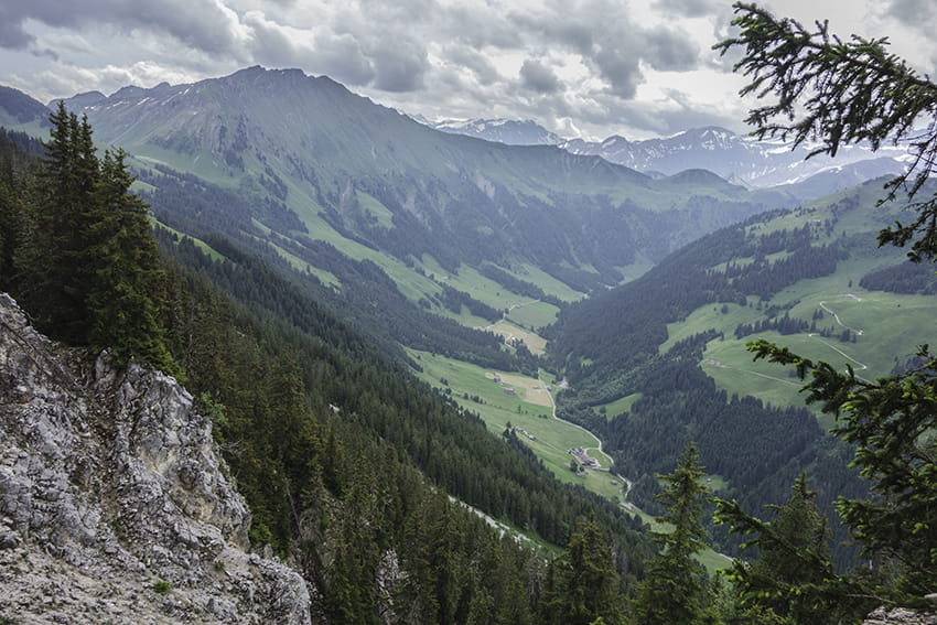
L’Etivaz / Plan de la Douve Location Canton of Vaud on the Château-d’Oex side of the Col des Mosses. Descriptif challenging hike. Sustained climb to the Douve refuge and very steady climb from the refuge to Plan de la Douve. Avoid for people prone to vertigo. The...
La Coutaz / La Niva Location Val d’Hérens on the left bank of the Rhône near Arolla. Descriptif walk not very easy in a magnificent alpine panorama Total length about 9.5 km Walking time 3 to 4 hours Elevation + et – +/-600 meters National hiking map 1:50’000...
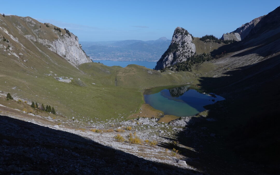
La Croix de la Lé Localisation Left bank of the Rhône above Bouveret and St Gingolph. Descriptif A technically easy trail from the plain to the summit of the Croix de la Lé, via the mythical Cornettes de Bise and Lac de Taney. Easy orientation and well-marked paths....
La Dent de Jaman Location Right bank of Lac Léman, canton Vaud, above Montreux / Glion / Caux. Descriptif Easy trail for those used to steep paths. Course in the pre-Alps, with exceptional views of Lake Geneva and its left bank, opposite the Croix de la Lé. A dream...
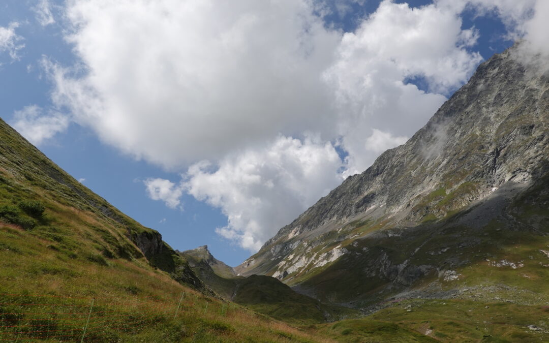
La Dotse Location Left bank of the Rhône, in the Bas-Valais, Val Ferret, above La Fouly. Descriptif Easy mountain trail with magnificent panoramic views, bordering Italy and nearby France. Total length 29 km-effort Walking time 13.45 km Elevation + et – +/-1142...