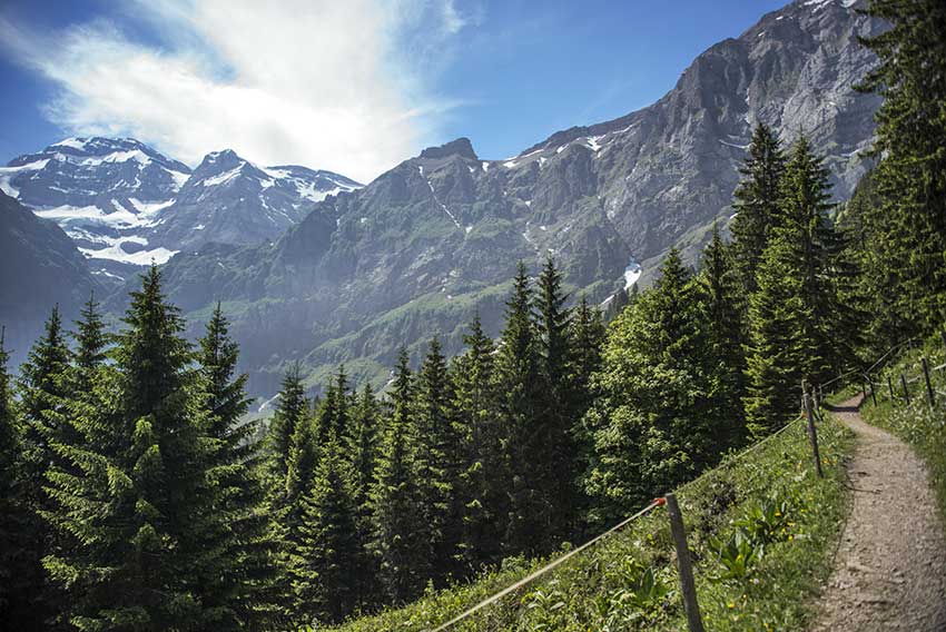
 Grand Paradis / Champéry Location on the left bank of the Rhône Val d’Illiez – Champéry Descriptif not very easy hiking under the Dents du Midi Total length about 8 km Walking time 3 to 4 hours Elevation + et – +/-600 meters National hiking map 1:50’000 St...
 Haut du Mollendruz Location col du Mollendruz, Vaud Descriptif Beautiful hike with beautiful panoramas on Lake Geneva, the lakes of Joux, Brenet and the valley of Joux. Total length about 11 km Walking time about 3-4 hours Elevation + et – +/- 425 meters...
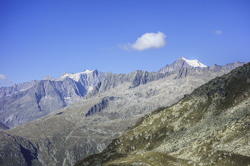 Honeggerhorn / Risihorn Location Haut-Valais, in the Goms valley above the village of Bellwald. Descriptif beautiful hike with a panoramic view of the Valais and Bernese Alps. The ascents of Honeggerhorn and Risihorn which can be avoided are rated T4. Total length...
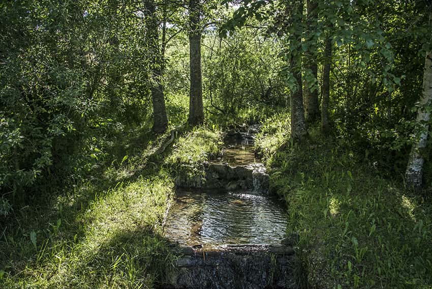 Joux lake tour Location Valley of Joux, Jura Vaudois Descriptif easy hiking with no particular problem around the largest mountain lake in the Jura. Discovering forest landscapes, green pastures and freshness of the water. Total length about 22 km Walking time 5 to 6...
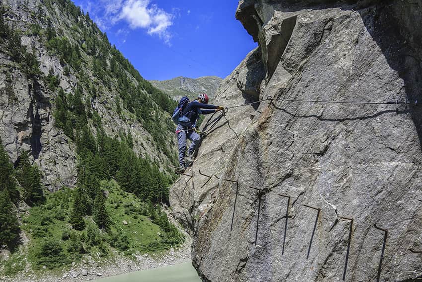 Klettersteig Aletsch Location Haut-Valais, Gibidum dam reachable from Blatten bei Naters above Naters Descriptif Extraordinary very difficult hike, which takes place ⅔ in a via ferrata situation and ⅓ walking around the Gibidum dam Total length about 3,5 km Walking...
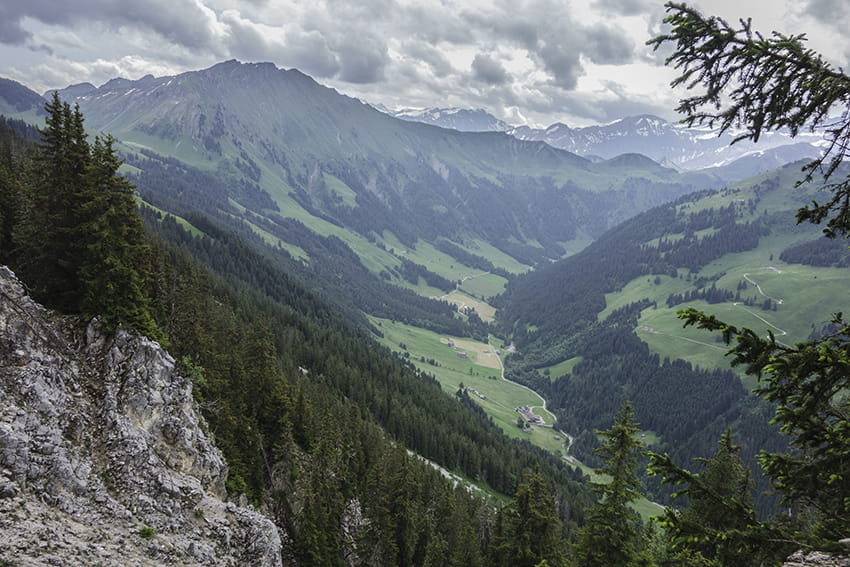 L’Etivaz / Plan de la Douve Location Canton of Vaud on the Château-d’Oex side of the Col des Mosses. Descriptif challenging hike. Sustained climb to the Douve refuge and very steady climb from the refuge to Plan de la Douve. Avoid for people prone to vertigo. The...