Dent de Nendaz / Le Basso d’Alou Location Haute Nendaz above Sion on the left bank of the Rhône Descriptif depending on the variant chosen difficult hike. 1st variant shorter from the top of the gondola Tracouet and the second variant from Pracondu following the...
Dent de Valerette / Dent de Valère Location Bas-Valais, above Monthey, Choex, Les Giettes Descriptif difficult hike with a magnificent 360° panorama Total length about 9 km Walking time about 4 hours Elevation + et – +/- 820 metersAltitude: between 1602 and...
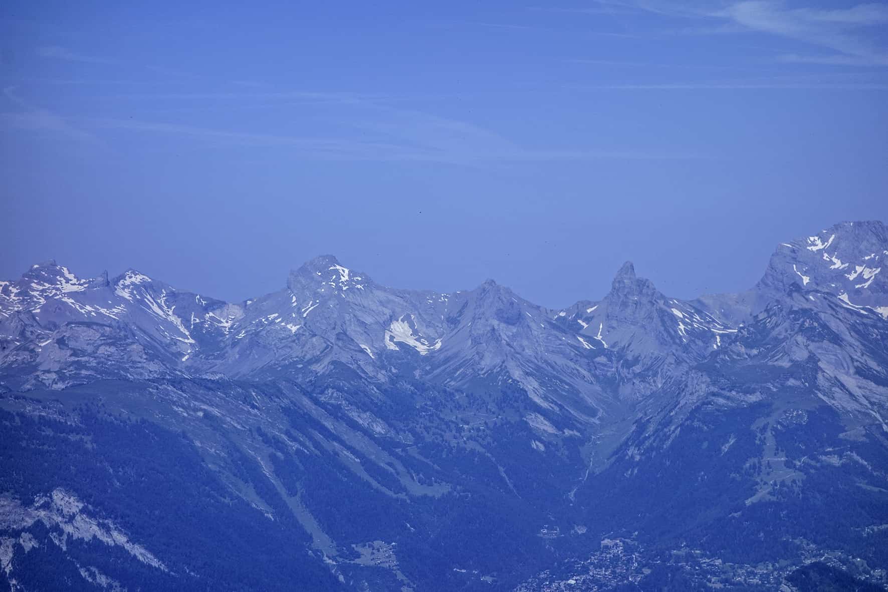
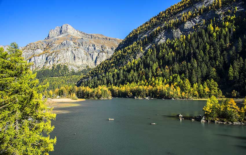
Derborence / Mombas Location Valley of Derborence on the right bank of the Rhone above Conthey Descriptif a difficult hike for a safe walker. Some passages are not recommended for people subject to vertigo (there is a variant by Godé lake that avoids air passages)....
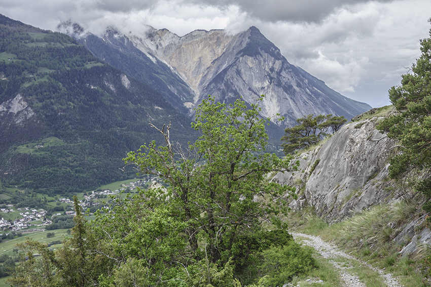
Eggen Egga Eggen Location canton of Valais in the Germanic part on the right bank of the Rhône above Visp. Descriptif easy hike to discover a magnificent region between green meadows, deciduous and coniferous forest and typical hamlet with century-old raccards burned...
Erschmatt Location Haut-Valais, right bank of the Rhône after and above Leuk – town Descriptif Not too difficult hike which takes place in a dry environment typical of the Rhône valley Total length about 8 km Walking time about 3 hours Elevation + et – +/- 463...
Evolène / les Haudères Location Val d’Hérens Descriptif very easy hike, can be walked if it hasn’t snowed too much. As soon as there has been heavy snowfall to be covered in snowshoes. Total length about 9 km Walking time between 1343 and 1554 meters Elevation + et...