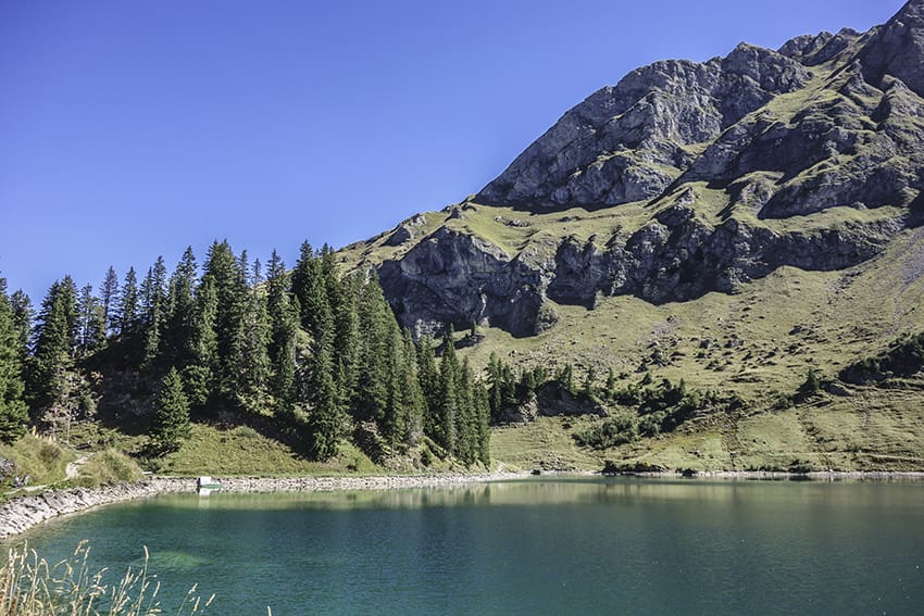
Pic Chaussy Location Vaud Alps, Col des Mosses, Lioson d’En Bas Descriptif not very difficult hike with the discovery of a magnificent mountain lake and a 360° panorama from the summit of Pic Chaussy Total length about 7 km Walking time about 4 hours Elevation + et...
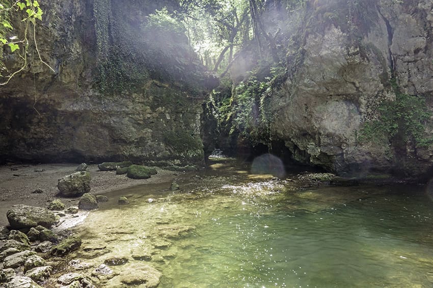
Romainmôtier Location Romainmôtier in northern Vaud Descriptif very easy hike along the La Dard river Total length about 11 km Walking time about 3 hours Elevation + et – +/-270 meters Altitude: between 550 and 720 meters National hiking map 1:50’000 251 La...
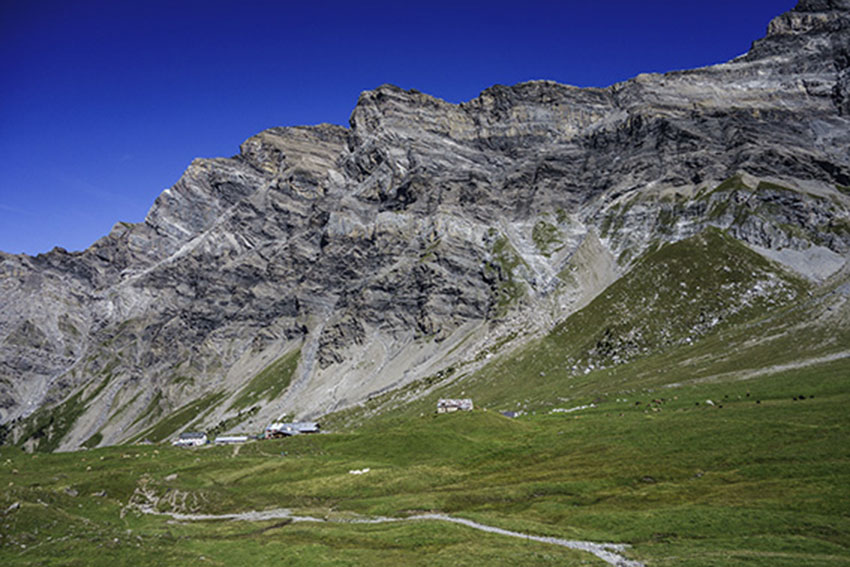
Solalex / Col de Poreyrette Location Solalex, Vaud Alps, above Bex Descriptif very difficult hike with an extremely vertiginous passage in the downhill of the Poreyrette pass. Not recommended for people prone to vertigo. To travel only in dry weather. Total length...
St. Cergue / La Dôle Location The Vaudoise coast above Nyon, chain of Jura Vaudois. Descriptif easy hike with an exceptional panorama on Lake Geneva. In good weather we see the water jet Geneva. Total length about 12 km Walking time 4 to 5 hours Elevation + et...
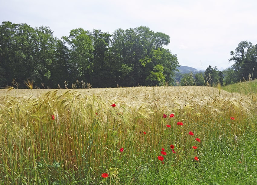
Tine de Conflens Location Canton of Vaud between Cossonay-ville and La Sarraz Descriptif beautiful easy hike between deciduous forest and rapeseed fields Total length about 16 km Walking time about 4 hours Elevation + et – +/-300 meters Altitude: between 436...
Tour (Tower) de Gourze Location Puidoux-Chexbres in the canton of Vaud Descriptif Easy hike to do with children. Very popular on weekends. Total length about 10 km Walking time about 3 hours Elevation + et – +/- 440 meters Altitude: between 616 and 925 meters...