Mont Bifé / Vanil des Cours Location Canton of Fribourg, on the Jaun Pass road, after Bulle et Broc Descriptif Difficult hike to the typical topography of this region. Steep climbs and descents. If you are strongly subject to vertigo, this hike is not for you. Total...
Mont de l’Arpille Location Col de la Forclaz, above Martigny Descriptif not very difficult hike, with a magnificent 360 ° panorama of the vandoises alps, Bernoises alps, Valais Alps and the Mont Blanc massif. Total length about 6,5 km Walking time about 3 hours...
Mont Pèlerin Location Mont Pèlerin above Vevey, Chardonne Descriptif easy hike, between deciduous forest and flower meadows Total length about 10 km Walking time about 3 hours Elevation + et – +/-420 meters Altitude: between 850 and 1’100 meters National hiking...
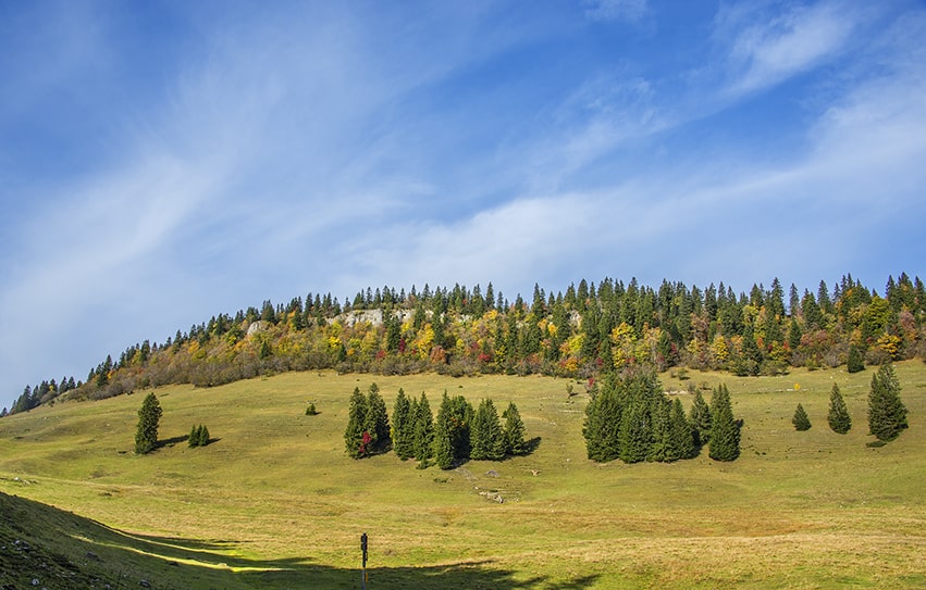
Mont Sâla Location Jura Vaudois, region Bassins, Arzier Descriptif easy hike, typical Jura topography. Magnificent views of Lake Geneva and Geneva’s water jet from the top of Mount Sâla Total length about 15 km Walking time about 4 hours Elevation + et – +/-493...
Montsalvens Lake Location Charmey canton of Fribourg on the Jaun Pass road Descriptif very easy hike. Ideal for accustoming young children to the pleasure of walking.Very beautiful landscape and during the beautiful days, many places to organize a picnic. Also...
Moosalp / Törbel Location Upper-Valais, left bank of the Rhône. Above Visp, straddling Törbel and Bürchen. Descriptif very easy hike, ideal for families with young children. Total length about 6 km Walking time about 2 hours Elevation + et – +/- 264...