Audannes hut Location Anzère, on the right bank of the Rhone above Sion Descriptif difficult hike with a lot of negative elevation and delicate passages requiring a secure foot and not be subject to vertigo. Total length about 16 km Walking time 5 to 6 hours...
Augsbordhorn Location Left bank of the Rhone, above Visp, towards Moosalp-Törbel Descriptif Superb aerial trail that runs along the easy ridges of the March Violenhorn and the Augsbordhorn for more than half of the route. Extraordinary view of the highest peaks of...
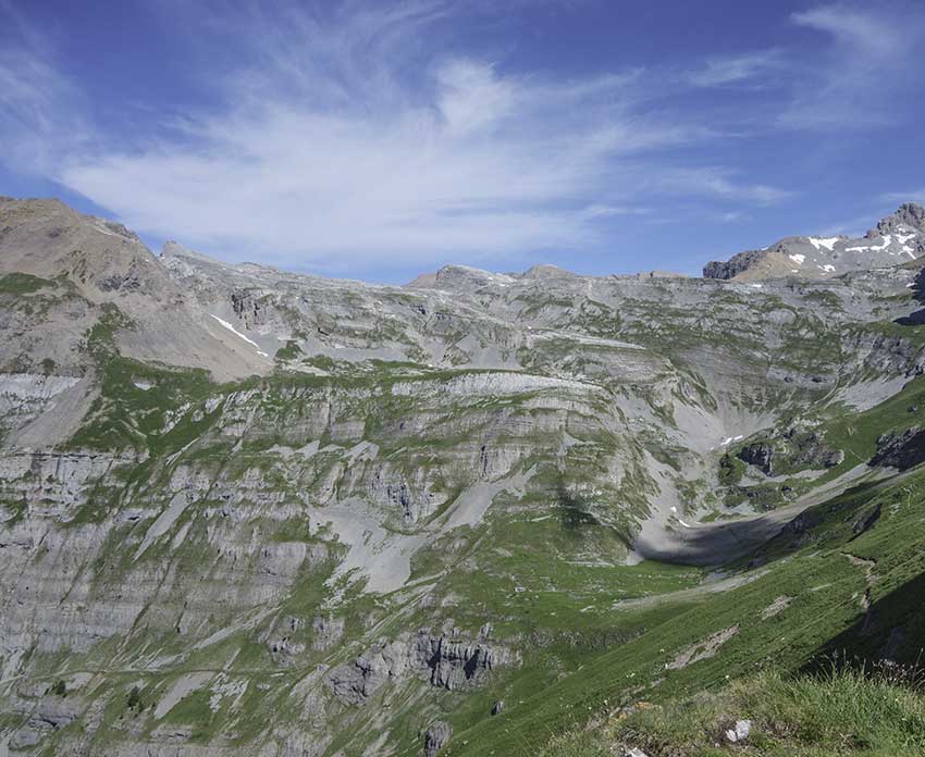
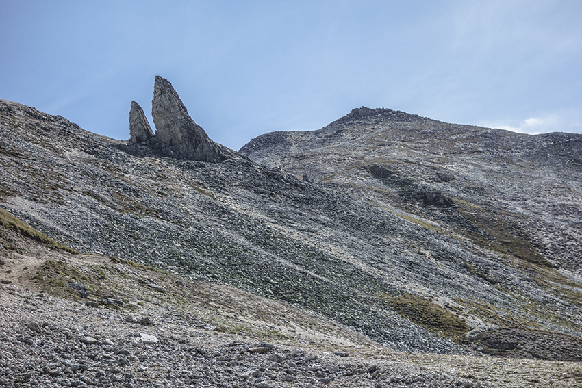
Becca d’Audon Location Central Valais above Savièse, Sanetschpass right bank of the Rhône Descriptif very difficult hike with Glacier passage Total length approx. 11 am if all the way is walked. When using the lifts, allow about 7 hours of walking. Walking time...
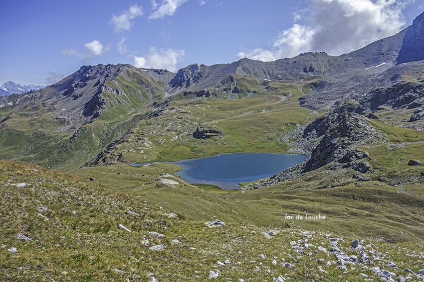
Becs de Bosson Hut Location straddling the Val d’Hérens and the Val d’Anniviers Descriptif very nice hike with magnificent panoramas of the Bernese and Valais Alps Total length 12 km Walking time approx. 5 hours Elevation + et – +/- 982 meters Altitude: between...
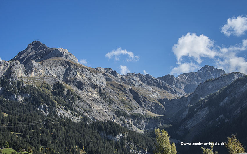
Bella Tola Location Val d’Anniviers, above St. Luc Descriptif difficult hike with the highest point at 3025 meters above sea level. Total length about 12 km Walking time about 4-5 hours Elevation + et – +/- 900 meters Altitude: between 2141 and 3025 meters...
Bettmeralp / Riederalp Location on the right bank of the Rhône, Goms valley, above Mörel and Betten Descriptif snowshoe hike, easy, with a magnificent panorama of Mischabels, Matterhorn and Weisshorn Total length about 4 km Walking time approx. 2 hours Elevation + et...